Denali has one road. Not a loop, not a network: a single 92-mile gravel road that starts at the Parks Highway and runs west into the park, and everything you do here is measured against it. Learn the mile markers and the park makes sense. Ignore them and you will book the wrong bus.
The headline, first: the Park Road is closed at Mile 43, and has been since 2021. The closure is expected to hold through summer 2026.
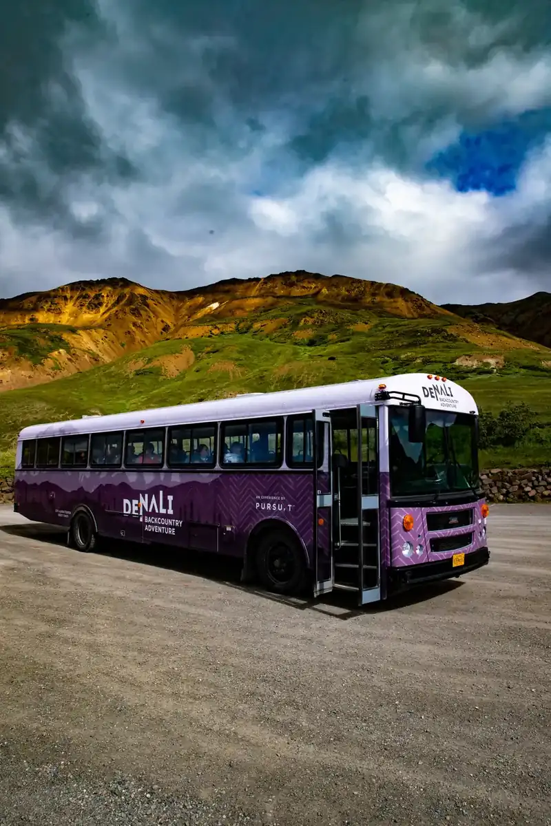
The mile markers that matter
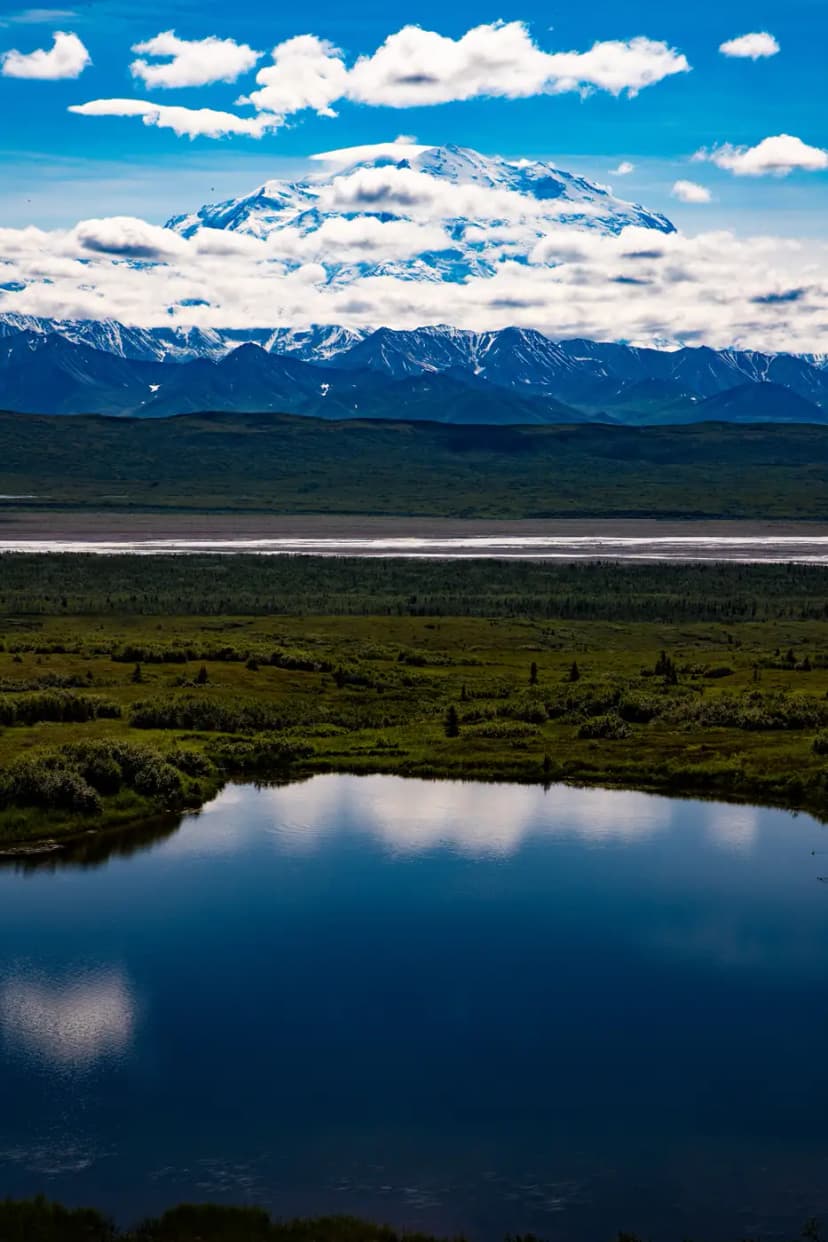
- Mile 0 to 15, entrance to Savage River. Paved, open to any car, no permit. The spruce thins out around Mile 9 and the Alaska Range appears. The Savage River Loop at the end is an easy two miles along the water.
- Mile 15, Savage River check station. Private vehicles stop here. Everything west of this point is buses only, all season.
- Mile 30, Teklanika River. Big braided river bar, and the campground that lets you drive your own vehicle in if you stay three nights.
- Mile 39, Sable Pass. Prime bear country. The park closes the slopes here to foot travel.
- Mile 43, East Fork Bridge. Where the road currently ends. Every bus turns around here.
- Mile 45, Pretty Rocks. The thawing permafrost slope that closed the road, two miles past where you can now stand.
- Mile 66, Eielson Visitor Center. Mile 85, Wonder Lake. Mile 92, Kantishna. All beyond the break and all closed.
Which bus goes where
Buses run from roughly 20 May to mid-September, and during the closure every one of them turns at East Fork.
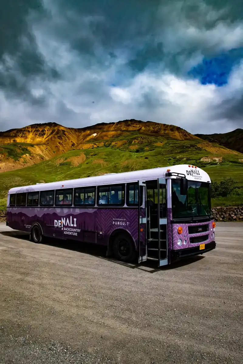
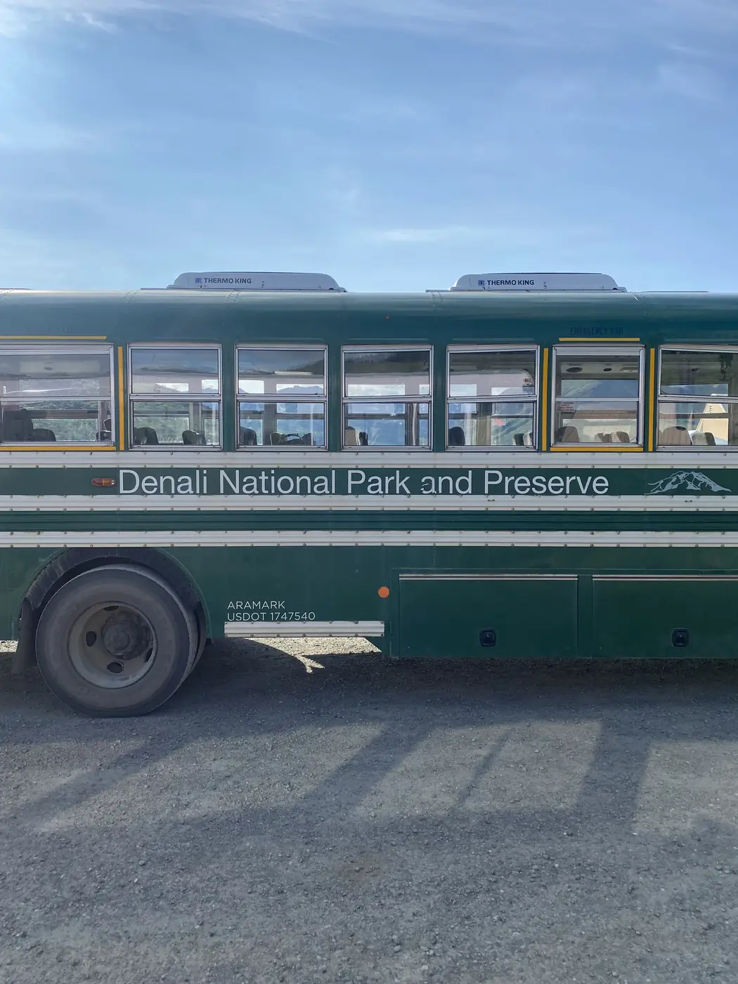
- Transit buses, the plain green ones, are not tours. No narration, no set stops, and a ticket that lets you get off anywhere and reboard any later bus with a free seat. East Fork and back is about 4.5 hours aboard. This is the ticket for hikers.
- The Tundra Wilderness Tour is narrated, runs out to the Murie Cabin near the East Fork River, and takes about 5 to 5.5 hours with water and a snack.
- The Denali Natural History Tour is the short one, staying in the first 17 miles, and it is more cultural history than wildlife.
Book at ReserveDenali.com. Peak-season seats in late June through August sell out well ahead.
Getting off and walking
This is the part people miss. Denali has almost no maintained trails past Mile 15, and it does not need them: the park is open to walking anywhere that is not closed for bears, and the country is mostly tundra and gravel river bar.
The method is simple. Take a transit bus, watch out the window, pull the cord, and walk. River bars are the easy option because they are flat and open. Ridges are harder work and better views. When you are done, stand on the road and put your arm out.
Two rules that are not optional: carry bear spray and know how to use it, and do not walk in a closed area. Sable Pass around Mile 39 is closed to foot travel for a reason.

Driving it yourself
Three ways, and only three:
- The first 15 miles, any day, any vehicle.
- Teklanika Campground at Mile 30, with a three-night minimum stay. You drive in once, park, and use the buses from there.
- The Road Lottery, four September days of open driving, which is currently suspended and has been since the closure.
Checking conditions before you go
The park runs webcams at the entrance and out along the road, which are the quickest way to see whether the weather is worth the trip and whether the mountain is out. Search for the park's own webcam page rather than a third-party mirror, because the mirrors go stale. Pair it with the park's road status page, which is where any change to the Mile 43 closure will appear first.
For anything you need to post or type into a form: the park's mailing address is PO Box 9, Denali Park, AK 99755. Healy, eleven miles north, is 99743, and Cantwell to the south is 99729.
The Denali Park Road: How Far You Can Go Right Now FAQs
92 miles, from the Parks Highway to the old mining settlement of Kantishna. It is paved for the first 15 miles and gravel after that. Only the first 43 miles are currently open.
Fifteen miles, to the Savage River check station, in any vehicle with no permit. Past that it is buses only. Campers with a three-night booking at Teklanika Campground may drive to Mile 30.
A transit bus if you want to get off and walk, because the ticket lets you reboard any later bus with a seat. The Tundra Wilderness Tour if you would rather be driven and told what you are looking at.
Yes. The National Park Service runs webcams at the park entrance and along the Park Road. Use the park's own webcam page rather than a third-party mirror, and check it alongside the road status page before you drive up.
99755, for Denali Park, AK. The park's mailing address is PO Box 9, Denali Park, AK 99755. Healy is 99743 and Cantwell is 99729.
Very few past Mile 15, and that is deliberate. Denali is open to walking almost anywhere outside the closed bear areas, so people get off a transit bus and route-find across tundra and river bars instead of following a trail.
Not inside the park; ATVs are not allowed on the Park Road or in the wilderness. The ATV tours people mean are run by private outfitters out of Healy, just north of the entrance, riding Forest Service and private land around Otto Lake and the Healy Valley with views back toward the Alaska Range.
Yes. The worked day-by-day plan is Kenai Fjords Kayaking: 2-Day Seward & Exit Glacier Itinerary (2 Days), with the permits, the stays and the drive times already sorted. Tell us your dates and we will put it together for you and confirm what is genuinely open on those days. Asking is free: no card, no deposit, and nothing is held until you say yes.