Banff to Glacier National Park, Five Days Down the Spine of the Rockies
One mountain range, three parks, and a border in the middle.
Three national parks in one drive. South from Banff on the Cowboy Trail, two nights in Waterton, across the border at Chief Mountain, and over Going-to-the-Sun Road to West Glacier.
“I’ve requested to book a Chain Lakes Loop guide on ExplorOFF, and it was the best idea ever! I highly recommend going with their guided option since you get a real human connection on the trail and don’t have to worry about a thing. Yulia was great to talk to!”




 17 stops on a real mapEvery stop pinned in order→
Banff to Glacier: every stop pinned in order.
Banff → Waterton → Chief Mountain → West Glacier
Every stop on this trip, in order, opens as one driving route in the Google Maps app. No copying addresses across one at a time.
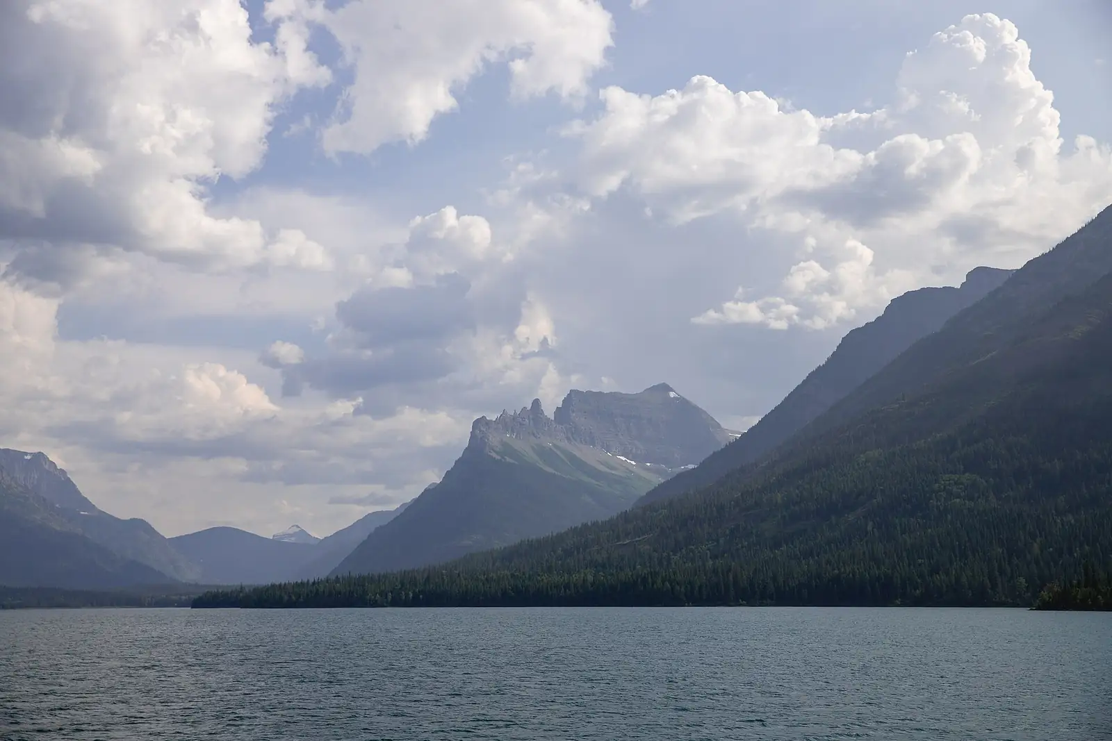
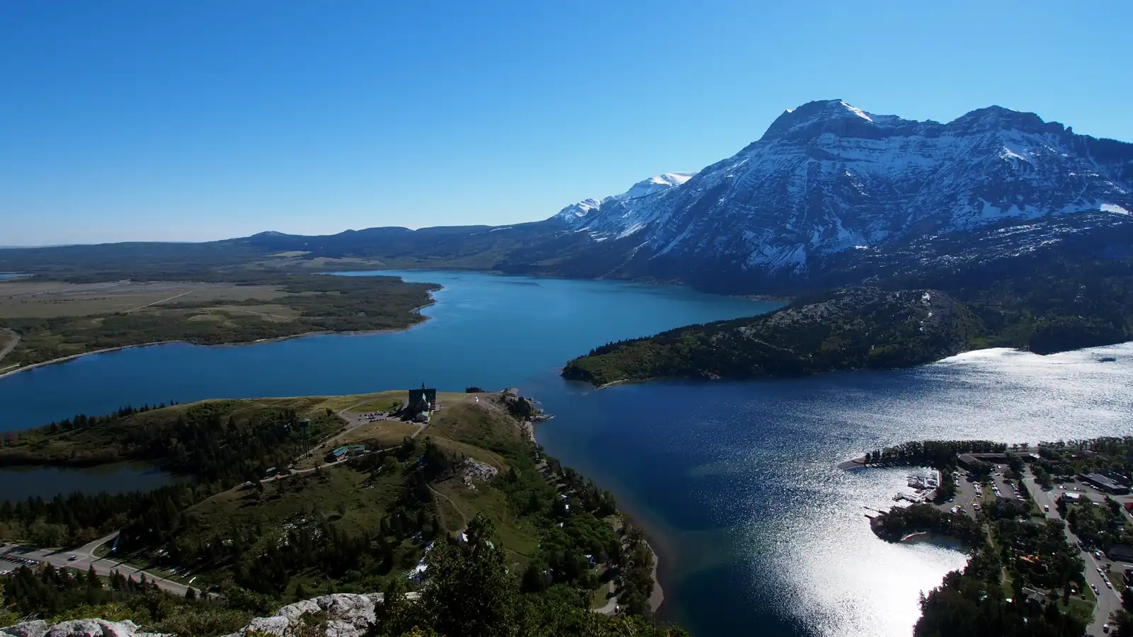
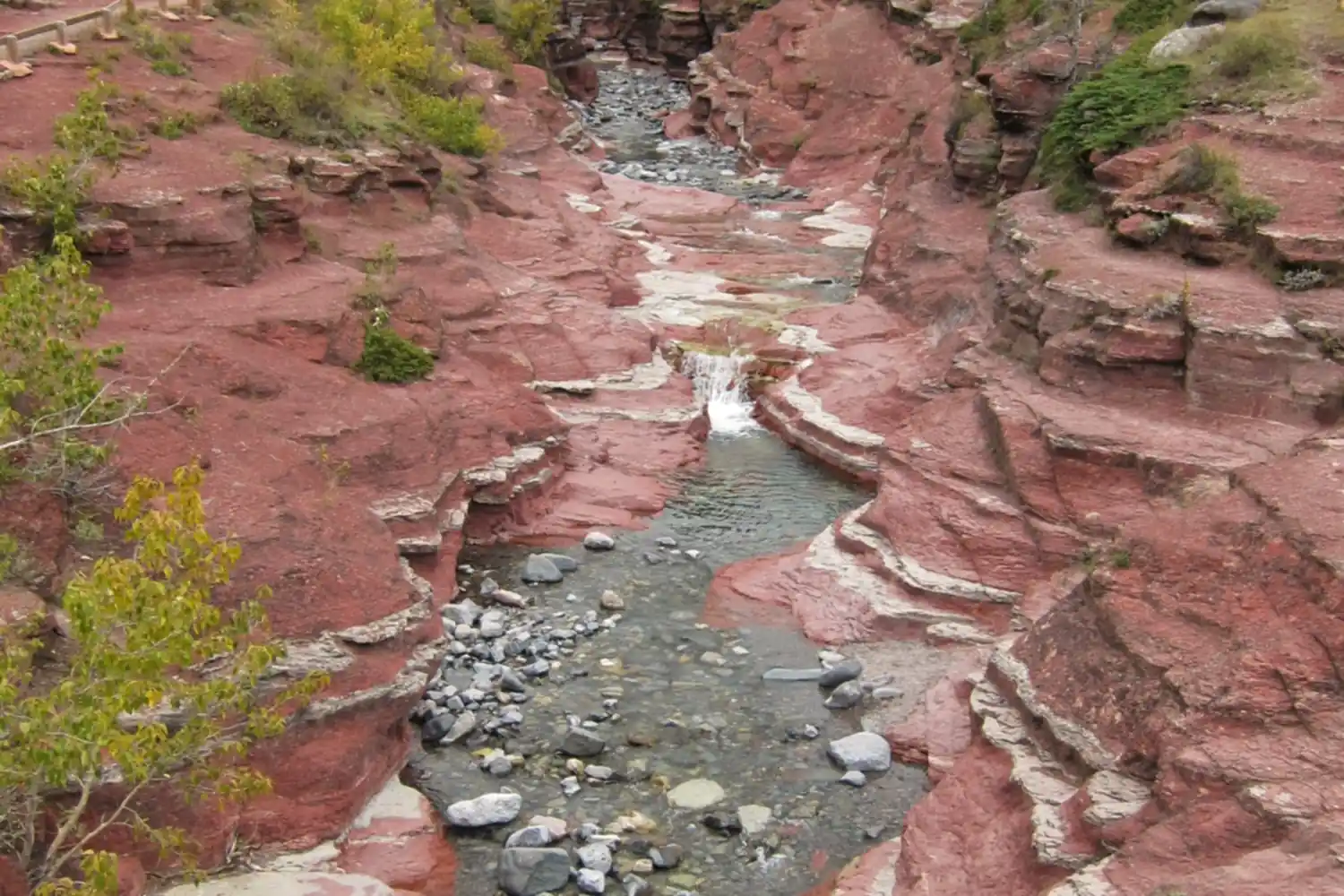
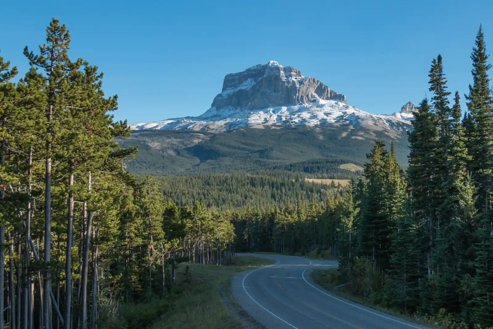
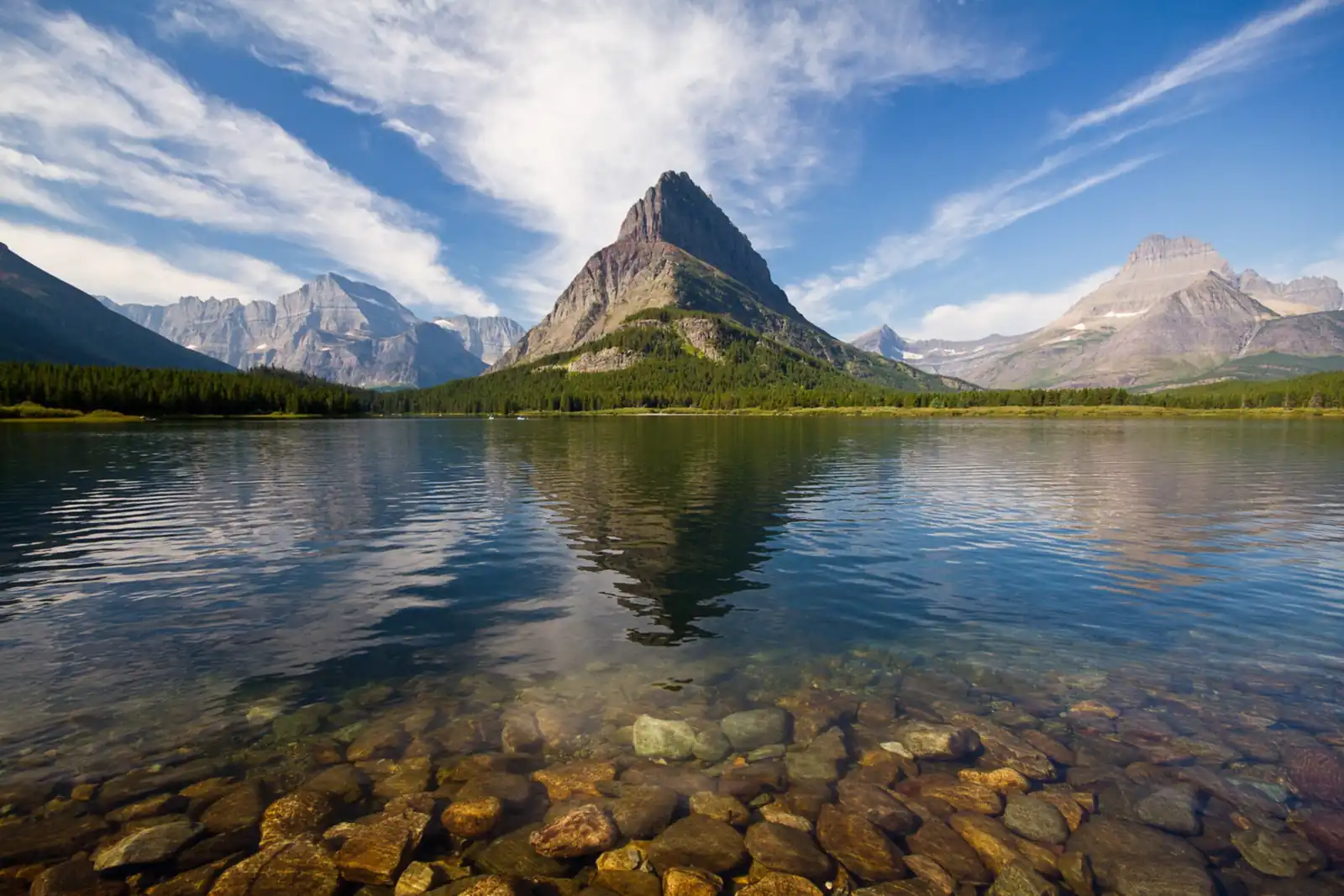
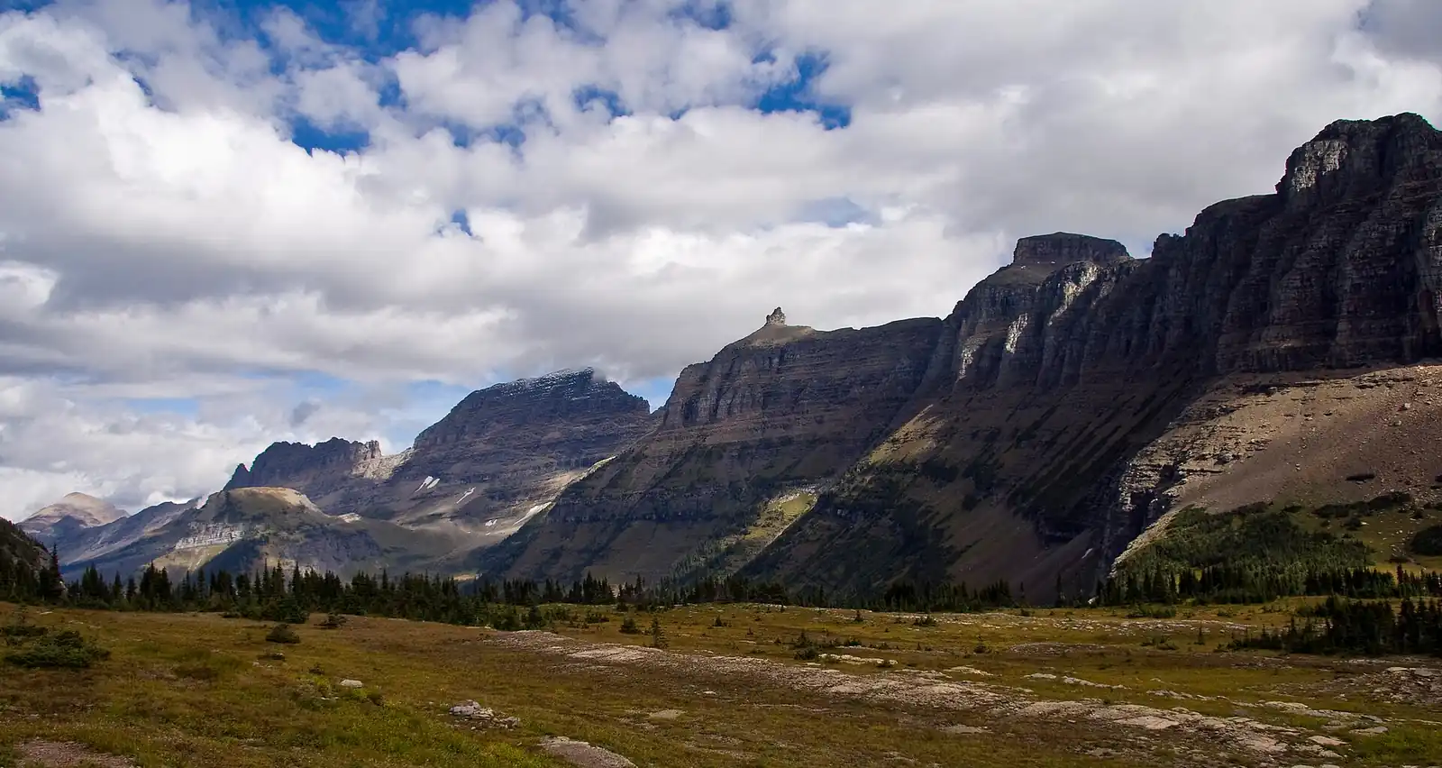
Banff to Glacier in photos: 6 of the stops.
Plan and book your 5 days in Banff to Glacier, one step at a time
- The Chief Mountain border crossing closed for the season on September 30. Until it reopens in mid-May, cross at Carway and Piegan, open 7 AM to 11 PM every day. Source
- Going-to-the-Sun Road is open over Logan Pass. The park says it typically stays fully open until the third Monday of October, which is October 19 in 2026, and weather can close it sooner. Source
- Waterton's Townsite Campground is first come, first served only from September 22 and closes for the season on October 12, 2026. Source
- Parks Canada has bear and cougar warnings on the Bertha Falls, Bertha Lake and Lakeshore trails. Source
- The Red Rock Parkway closes to cars in late October and the Akamina Parkway to Cameron Lake partly closes in early November. Source
How 5 days in Banff to Glacier split up
Plan 5 days for Banff to Glacier. Distance: ~370 mi. Border: Chief Mountain. Best season: Jul-Sep. Banff and Glacier sit on the same chain of mountains about 370 miles apart, and the drive between them is one of the best in North America if you take it the slow way. The fast way runs through Calgary and the prairie. This route stays close to the mountains: south on Highway 22, the Cowboy Trail, through the foothill ranch country, into Waterton Lakes National Park, and across the border at Chief Mountain into the quiet east side of Glacier.
Day 1: Banff to Waterton on the Cowboy Trail
4 stops · Day one
Day 2: A Full Day in Waterton Lakes
4 stops · Day two
Day 3: Across Chief Mountain to Many Glacier
3 stops · Day three
Day 4: Going-to-the-Sun Road to West Glacier
4 stops · Day four
Day 5: Lake McDonald, Then Home
2 stops · Day five
Banff to Waterton on the Cowboy Trail
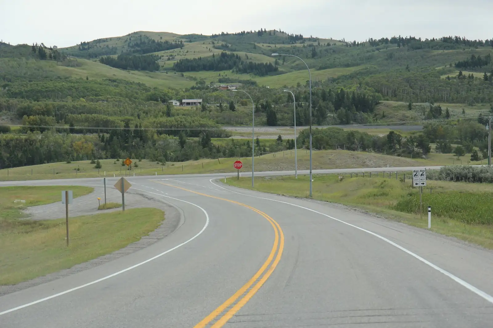
Leave Banff after breakfast and head east down the Bow Valley past Canmore. Rather than following the highway into Calgary, turn south on Highway 22, the Cowboy Trail, which runs along the edge of the foothills through ranch country with the mountains on your right the whole way. It is slower than the prairie highways and much better to look at.
Not the order you want? Drag a stop, or use the arrows beside it. Stops move between days too.
 Drive from
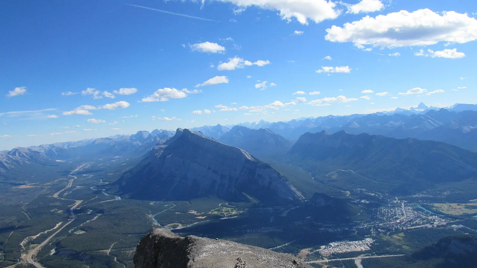
~375 km to Waterton via Highway 22 · DriveEast down the Bow Valley past Canmore, then south on Highway 22, the Cowboy Trail, instead of through Calgary. Five to five and a half hours to Waterton with stops.
- Highway 22, the Cowboy Trail
Foothill ranch country · Longview · DriveThe road along the edge of the foothills, with the Rockies on your right the whole way.
- Bar U Ranch National Historic Site
Near Longview · 1880s ranch · activityA working ranch from the 1880s, preserved by Parks Canada, right on the Cowboy Trail.
Parks Canada info → 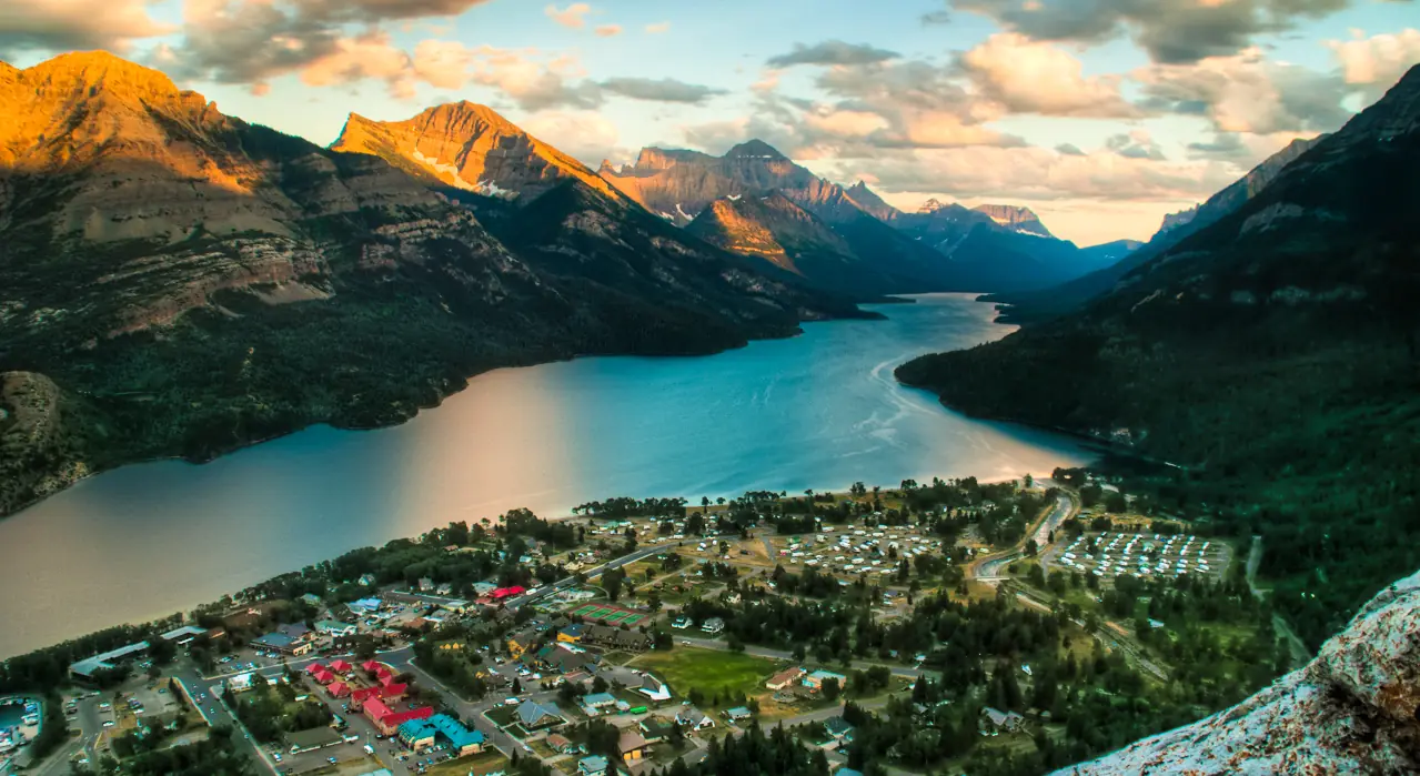 Stay in Waterton Park
Two nights · townsite on the lake · lodgeThe only town in the park, small and walkable, on the shore of Upper Waterton Lake. Few rooms, so book these nights first. The Townsite Campground takes reservations at reservation.pc.gc.ca from May 8 to September 21, and is first come, first served outside those dates.
A Full Day in Waterton Lakes
Start with the Bear's Hump, a short, steep climb right behind the visitor centre that gives you the whole park at once: the townsite, the chain of lakes and Upper Waterton Lake running south into Montana. It takes about an hour up and back and it is the best hour you can spend here.
Not the order you want? Drag a stop, or use the arrows beside it. Stops move between days too.
- Bear's Hump
Short and steep · about an hour · HikeRight behind the visitor centre. A short, steep climb to a ledge over the whole park, with Upper Waterton Lake running south into Montana.
Trail conditions → - Red Rock Canyon
End of the Red Rock Parkway · ViewpointA short loop above a creek cut through bright red stone. The parkway closes to cars in late October.
- Cameron Lake
End of the Akamina Parkway · on the border · ViewpointA lake right on the international border at the end of the Akamina Parkway, with canoe rentals in summer.
- Second night in Waterton Park
Evening by the lake · lodgeBack to the townsite. Walk up to the Prince of Wales Hotel bluff for the evening view down the lake.
Across Chief Mountain to Many Glacier
Leave Waterton on the Chief Mountain Highway, which climbs out of the park with the lone block of Chief Mountain standing ahead of you. The border post is tiny and seasonal: open May 15 to September 30, 7 AM to 10 PM through early September and 9 AM to 6 PM after that. Have passports out for everyone in the car and leave any firewood behind.
Not the order you want? Drag a stop, or use the arrows beside it. Stops move between days too.
- Chief Mountain border crossing
May 15 to Sep 30 · passports for everyone · DriveA small seasonal post below the lone block of Chief Mountain. In 2026 it opened May 15 and closed September 30. Outside those dates, cross at Carway and Piegan, about an hour east.
Port hours → - Many Glacier: Swiftcurrent and Grinnell Lake
Reopened July 2026 after the flood · HikeThe Swiftcurrent Lake loop and the walk to Grinnell Lake along Josephine's south shore. Grinnell Glacier and Iceberg Lake are the famous long hikes here: check the NPS trail status and do one if it is open.
NPS trail status → 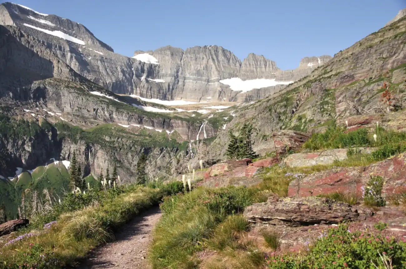 Stay at St. Mary or Many Glacier
East side · few rooms · lodgeSt. Mary sits at the east end of Going-to-the-Sun Road, about 35 minutes from Many Glacier, and puts you in place for an early start on the road tomorrow.
Going-to-the-Sun Road to West Glacier
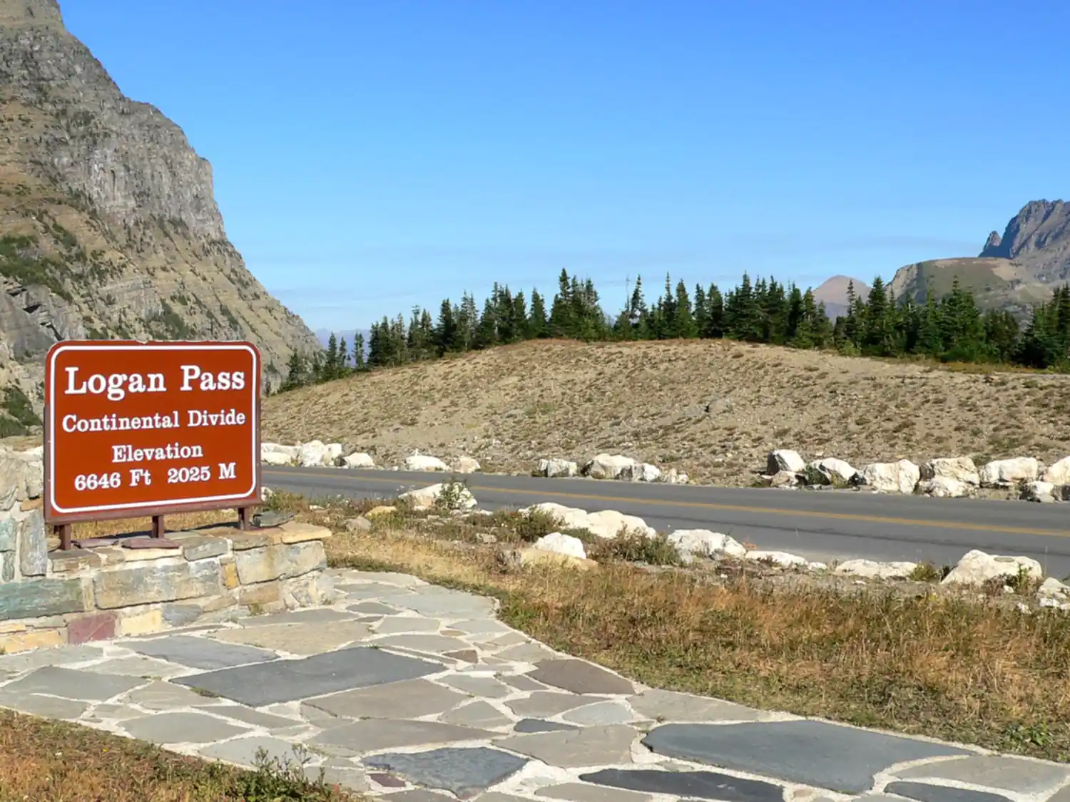
Drive south to St. Mary and turn west onto Going-to-the-Sun Road, the 50-mile road that crosses the park over the Continental Divide. Go early. The east side runs along St. Mary Lake past Wild Goose Island, then climbs to Logan Pass, at 6,646 feet the highest point you can drive to in the park.
Not the order you want? Drag a stop, or use the arrows beside it. Stops move between days too.
 Going-to-the-Sun Road over Logan Pass
~50 mi · 21 ft / 8 ft vehicle limit · DriveEast to west over the Continental Divide. Logan Pass, 6,646 ft, is the high point. The road usually closes over the pass in mid-October; use US-2 if it is shut.
Road status →- Hidden Lake Overlook
~2.7 mi round trip from Logan Pass · HikeA boardwalk and trail from the Logan Pass visitor center to a view down on Hidden Lake, with mountain goats most days.
- Trail of the Cedars, Avalanche Creek
Flat loop · or on to Avalanche Lake · HikeA flat boardwalk loop through old cedars on the west side, and the start of the trail to Avalanche Lake.
 Stay in West Glacier
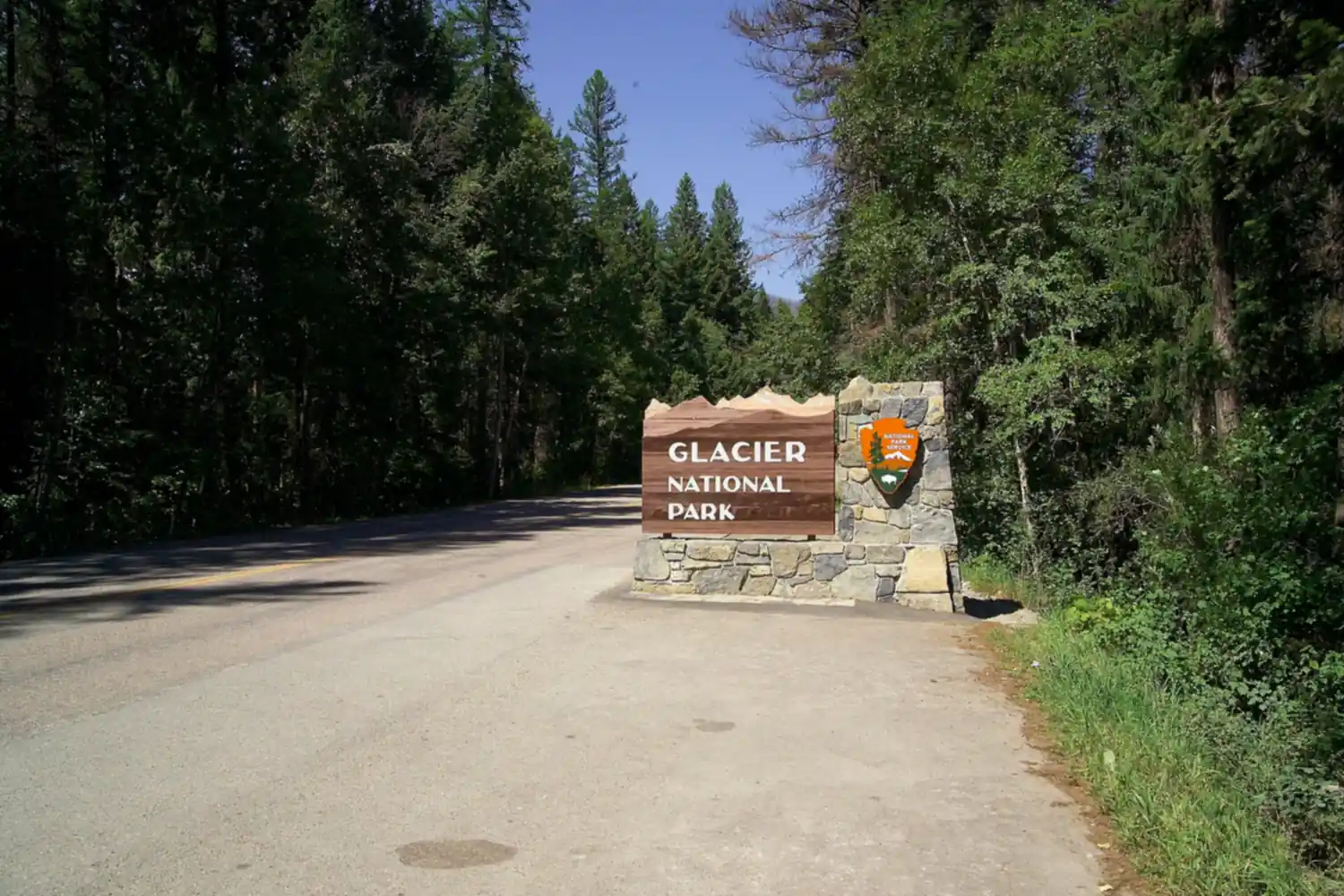
Or Apgar on Lake McDonald · lodgeThe west entrance town, minutes from Apgar and the foot of Lake McDonald.
Lake McDonald, Then Home
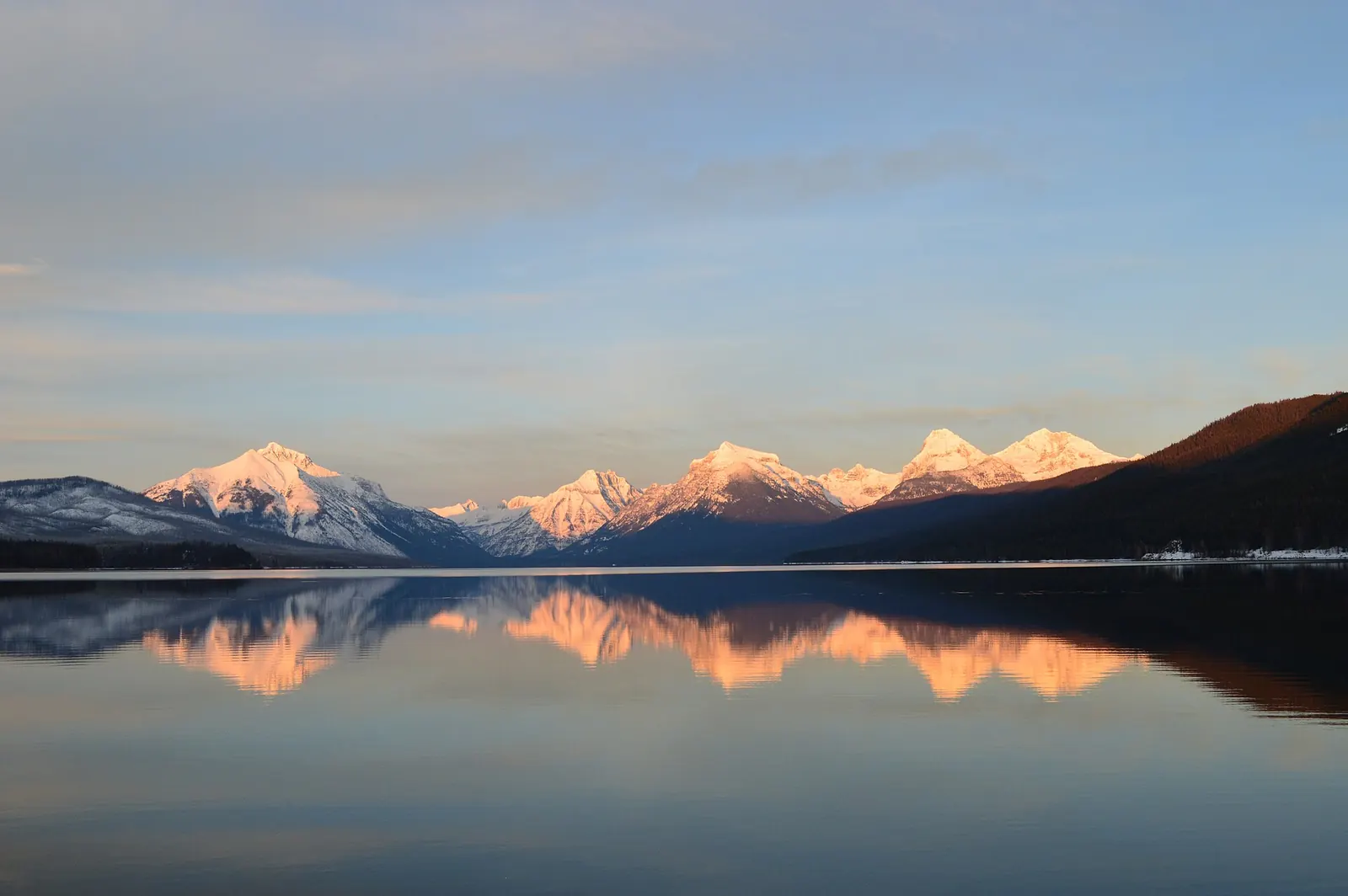
Have one slow morning at Apgar on the foot of Lake McDonald, where the water is so clear you can see every coloured stone on the bottom. Rent a kayak or just sit on the beach with coffee before the day crowd arrives.
Not the order you want? Drag a stop, or use the arrows beside it. Stops move between days too.
- Apgar, Lake McDonald
Clear water, coloured stones · ViewpointA slow morning at the foot of the biggest lake in the park, before the day crowd arrives.
- Fly from Kalispell or drive back to Banff
FCA ~40 km · or via Roosville and Kootenay · DriveGlacier Park International Airport is about 40 km away. Driving back to Banff, go north through Whitefish to the Roosville crossing, open 24 hours, then Cranbrook and Kootenay National Park.
Book the 4 nights
Beds near the trailheads are the one thing on this trip that genuinely runs out. Everything else can be decided later.
Tell us your dates and we will do the checking. We find what is still open near each trailhead and email you this plan back with a booking link for each night. Nothing is charged and you decide at the end.
Request to bookWhat to pack for Banff to Glacier
Built from this route, not a generic list. Every line says why it is here.
On every day of this trip
On your feet
Because you are sleeping indoors
For the driving days
Specific to Banff to Glacier
What actually decides this trip.
Pick your border crossing first
Chief Mountain is the scenic crossing straight from Waterton to the east side of Glacier, but it is seasonal: May 15 to September 30 in 2026, 7 AM to 10 PM from June 1 to September 7 and 9 AM to 6 PM otherwise. Carway and Piegan, about an hour east, are open 7 AM to 11 PM all year. Roosville, on the western route through Cranbrook and Whitefish, is open 24 hours. Everyone in the car needs a passport, and firewood should stay at home.
The fee that surprises non-US visitors
Glacier charges $35 a vehicle for seven days in summer. On top of that, visitors 16 and over who are not US residents pay $100 each, unless they hold an annual or America the Beautiful pass. For two Canadian or European adults that is $235 for one entry, so the $250 non-resident annual pass is almost always the better buy. Glacier needs no vehicle reservation in 2026.
When every road on the route is open
Chief Mountain opens May 15, Going-to-the-Sun Road usually opens fully in late June or early July, and Waterton's parkways open in May. Going-to-the-Sun closes over Logan Pass in mid-October and Chief Mountain on September 30. That leaves July to the end of September as the window when the whole scenic route works. Outside it, cross at Carway and use US-2 over Marias Pass.
Many Glacier after the 2026 flood
Heavy rain on June 30, 2026 closed every trail in the Many Glacier valley. The park reopened the Swiftcurrent Lake loop, Grinnell Lake via Josephine's south shore and Apikuni Falls in early July. Check the NPS trail status before you plan Grinnell Glacier or Iceberg Lake.
One-way rentals across the border
Picking up in Calgary and dropping in Montana is possible with some companies and often costs several hundred dollars, and some do not allow it at all. Ask before you book. Driving the loop back to Calgary through Kootenay National Park avoids the fee and adds one of the best drives in the Rockies.
Bears on both sides of the line
Waterton and Glacier both have grizzlies and black bears. Carry bear spray where you can reach it, hike in groups, make noise, and store food in your car or a bear box. Airlines do not allow bear spray in luggage, so buy it when you arrive.
Banff to Glacier: questions before you go
Banff to Glacier drive: the questions people ask most.
About 370 miles (590 km) and seven hours of driving the scenic way, through Waterton Lakes and the Chief Mountain border crossing and over Going-to-the-Sun Road to West Glacier. The shortest route runs through Kootenay National Park, Cranbrook and the Roosville crossing to Whitefish, about 325 miles (520 km) and six hours. Either is far too much for one day if you want to see anything, which is why this trip takes five.
Chief Mountain, if your dates allow it. It goes straight from Waterton to the east side of Glacier, but it is only open from May 15 to September 30. Outside that window use Carway and Piegan, open 7 AM to 11 PM year-round, or Roosville on the western route, open 24 hours.
No. Glacier dropped vehicle reservations for 2026, including for Going-to-the-Sun Road and Many Glacier. In summer 2026 Logan Pass parking was limited to three hours with a free timestamp permit, and the park shuttle needed a $1 ticket. Entry is $35 a vehicle, plus $100 a person for non-US residents aged 16 and over unless they hold an annual pass.
Yes, and it is worth two nights. Waterton is smaller, quieter and cheaper than Banff, and it is the Canadian half of the Waterton-Glacier International Peace Park. The Bear's Hump gives you the whole park in an hour, and Crypt Lake is one of the best day hikes in Canada.
July to the end of September. That is when the Chief Mountain crossing, Going-to-the-Sun Road and the Waterton parkways are all open at once. Chief Mountain closes September 30 and Going-to-the-Sun Road usually closes over Logan Pass in mid-October.
Sometimes. Some companies allow a one-way rental across the border and charge a drop fee that is often several hundred dollars, and some do not allow it at all. Ask before you book. Many travelers drive the loop back to Calgary through Kootenay National Park instead.
Yes. Tell us your dates and we check what is still open for the plan on this page, then send it back with a booking link for each night and the total. Nothing is charged and nothing is held, and you pay the normal rate.
Pick how you want to go.
Same 5-day route. Same 8 stops.
- 2 nights, a campsite near Waterton Park
- $56
- 1 night, a campsite near St. Mary
- $30
- 1 night, a campsite near West Glacier
- $30
- Rental car from Calgary, 5 days (one-way drop fee not included)
- $380
- Gas, about 450 miles
- $80
- Parks Canada day passes, one car, 3 days
- $51
- Glacier National Park entry, one car
- $35
- Glacier fee for non-US residents 16+, $0 for US residents or pass holders
- $200
- 2 nights, a room in Waterton Park
- from $660
- 1 night, a room in St. Mary
- from $220
- 1 night, a room in West Glacier
- from $240
- Rental car from Calgary, 5 days (one-way drop fee not included)
- $380
- Gas, about 450 miles
- $80
- Parks Canada day passes, one car, 3 days
- $51
- Glacier National Park entry, one car
- $35
- Glacier fee for non-US residents 16+, $0 for US residents or pass holders
- $200
- A private local guide, rooms and campsites booked
- Included
- Airport pickup and every drive
- Included
- Park, permit and campsite fees paid
- Included
- All the gear and the trail meals
- Included
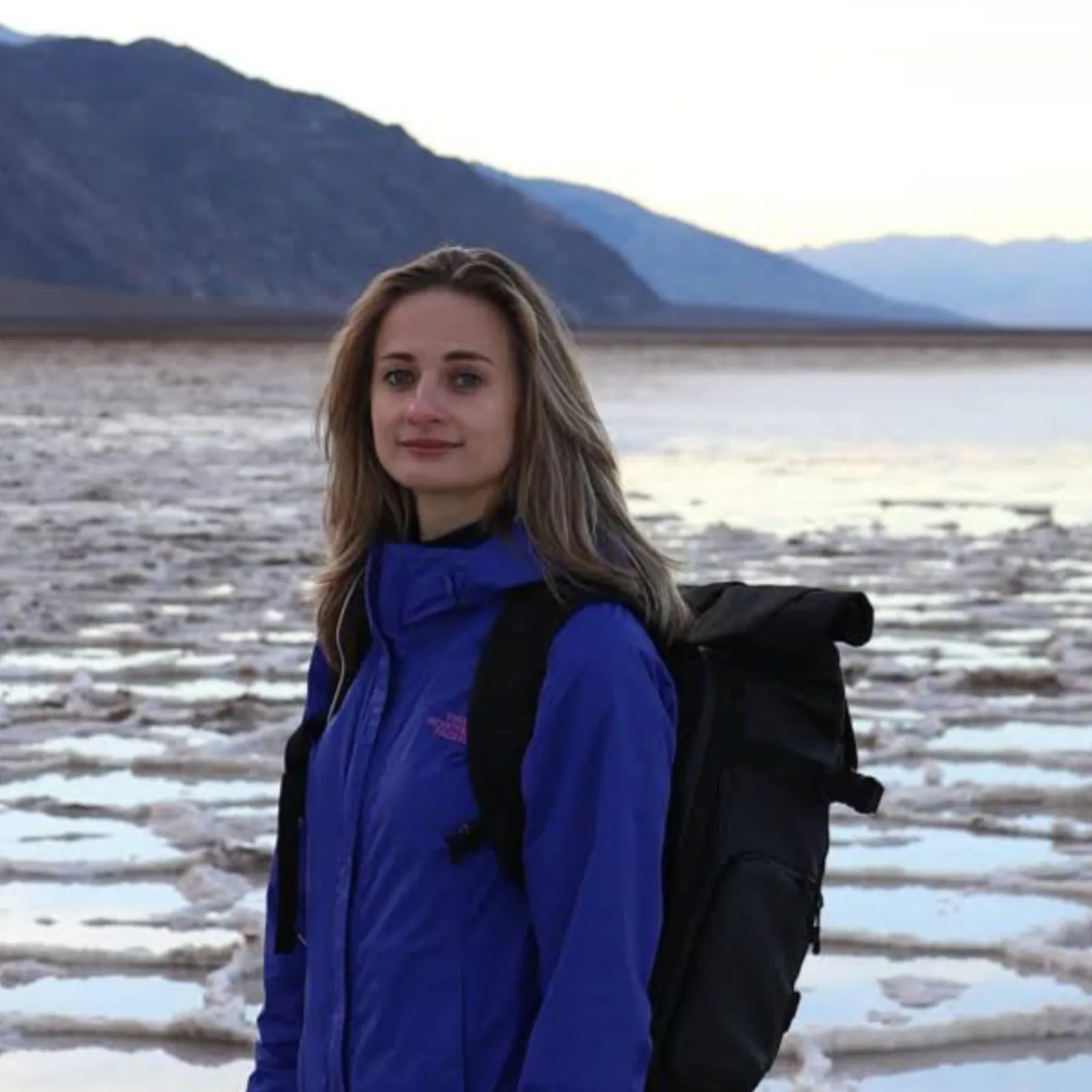
Written and walked by Yulia Vasilyeva · Co-founder · Lead planner and guide
Three years leading guided hikes in the Pacific Northwest, rated 5.0 by 20+ verified guests, and she builds every custom itinerary herself. Based in Seattle.
Last checked October 2026
You might also love these
Other itineraries near this one.

Going-to-the-Sun Road: The Drive, Every Stop, in 2 Days
Going-to-the-Sun Road west to east in two days: why you don't need a vehicle reservation in 2026, when the road actually opens, the…
Best Day Hikes in Glacier National Park: 3-Day Weekend
A 3-day Glacier National Park hiking itinerary covering Grinnell Glacier, the Highline Trail, Hidden Lake Overlook, and Lake McDonald,…
Glacier National Park: Memorial Day Weekend Itinerary
An honest 3-day plan for Glacier over Memorial Day weekend, when Going-to-the-Sun Road is not fully open yet but the waterfalls are…
What adventurers say about us.
All reviews are from verified guests. ★★★★★ 5.0 average from 20+ bookings.
"Felt like going out with a really knowledgeable friend who just happens to know everything about the area. No awkward tour-guide energy, just a magnificent day."
"Yulia is an incredible guide. She knew every trail, every viewpoint, and exactly how to pace the day for our group. The photos she took of us were stunning. 100% booking again."
"I was visiting Seattle solo and this was the best decision I made on the trip. Yulia picked me up, had snacks, and took us to a trail I never would have found on my own. Absolute must-do."
"We did this as a couple's trip and it was perfect. Yulia adapted everything to us, our pace, our interests, our photo obsession. The mountain views were unreal."
"Phenomenal experience. Yulia has deep local knowledge and a real passion for the outdoors. She went out of her way to show us the hidden gems tourists never see. Will remember this forever."
"I've done a few guided hikes and this was by far the best. Yulia is warm, funny, and genuinely expert. The trail she chose had the most insane wildflower bloom, we got so lucky."
Fees, reservation windows, shuttle dates and trail closures are planning estimates. Confirm hours, road status and any reservations with the land manager before you go.
What other travelers are saying
Be the first to leave a tip or question for the next traveler.
Was this helpful?
One tap. It goes straight to Yulia and Margarita.
You can't hike it if you can't get the permit.
The best hikes in America run on lotteries that open once a year and sell out in minutes. Every trail runs on its own calendar. Pick the ones you want and we do the watching.
 The WaveCoyote Buttes North · Arizona / UtahPermitLotterybrutal odds
 Half Dome CablesYosemite NP · CaliforniaPermitOpens Mar 1fair odds
 Mt. WhitneyInyo NF · CaliforniaPermitOpens Feb 1tough odds
 Angels LandingZion NP · UtahPermitLotterytough odds
 The SubwayZion NP · UtahPermitLotterytough odds
 Mount St. Helens Summit ClimbGifford Pinchot NF · WashingtonPermitReservationtough odds
How it works
- An email the morning each window opens, never the day after.
- A 14-day heads-up so you can line up your group and dates.
- Win odds and a ranked backup plan for every trail you pick.
Didn't win? We keep watching. We check recreation.gov every day for The Enchantments, Half Dome and Angels Landing, and email you the moment a sold-out date frees up. Cancellations are the second chance most people never hear about.