A 3-Day Yosemite Itinerary Valley Floor, Glacier Point, and the Mist Trail
Yosemite Valley is seven miles long and holds most of what you came for, which is why three days is enough.
Three days in Yosemite done in layers: the valley floor first, then the rim at Glacier Point and Taft Point, then the climb up the Mist Trail beside the waterfalls. No entrance reservation needed in 2026.
Guided from $2,340 per person. Free to ask, pay after the guide confirms.
“I’ve requested to book a Chain Lakes Loop guide on ExplorOFF, and it was the best idea ever! I highly recommend going with their guided option since you get a real human connection on the trail and don’t have to worry about a thing. Yulia was great to talk to!”
 15 stops on a real mapEvery stop pinned in order→
Yosemite: every stop pinned in order.
Valley Floor → Glacier Point → Mist Trail
Every stop on this trip, in order, opens as one driving route in the Google Maps app. No copying addresses across one at a time.
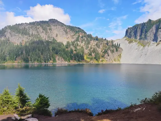
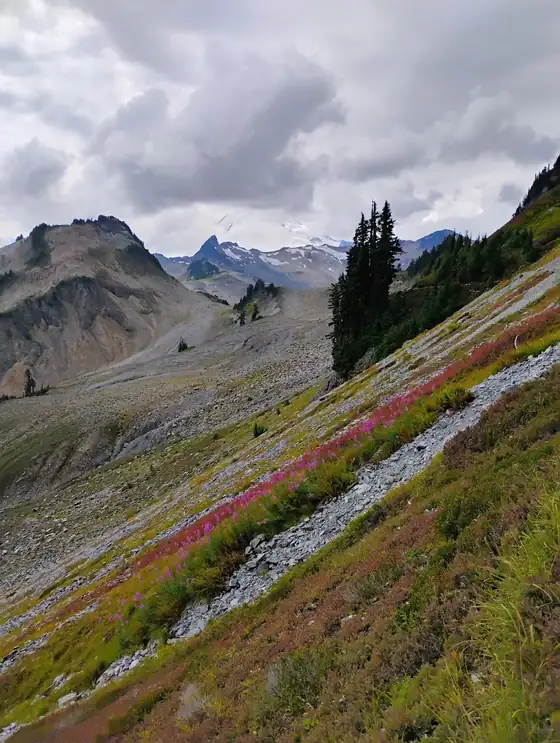
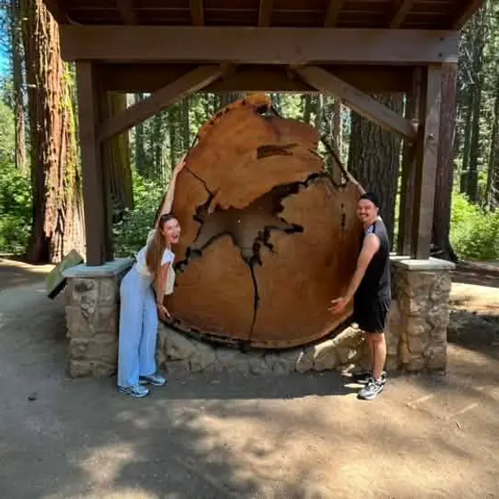
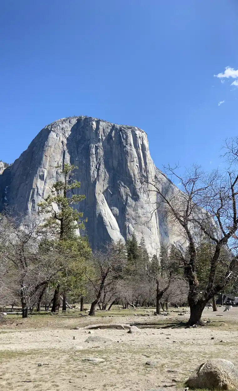
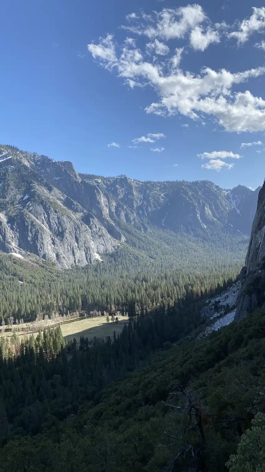
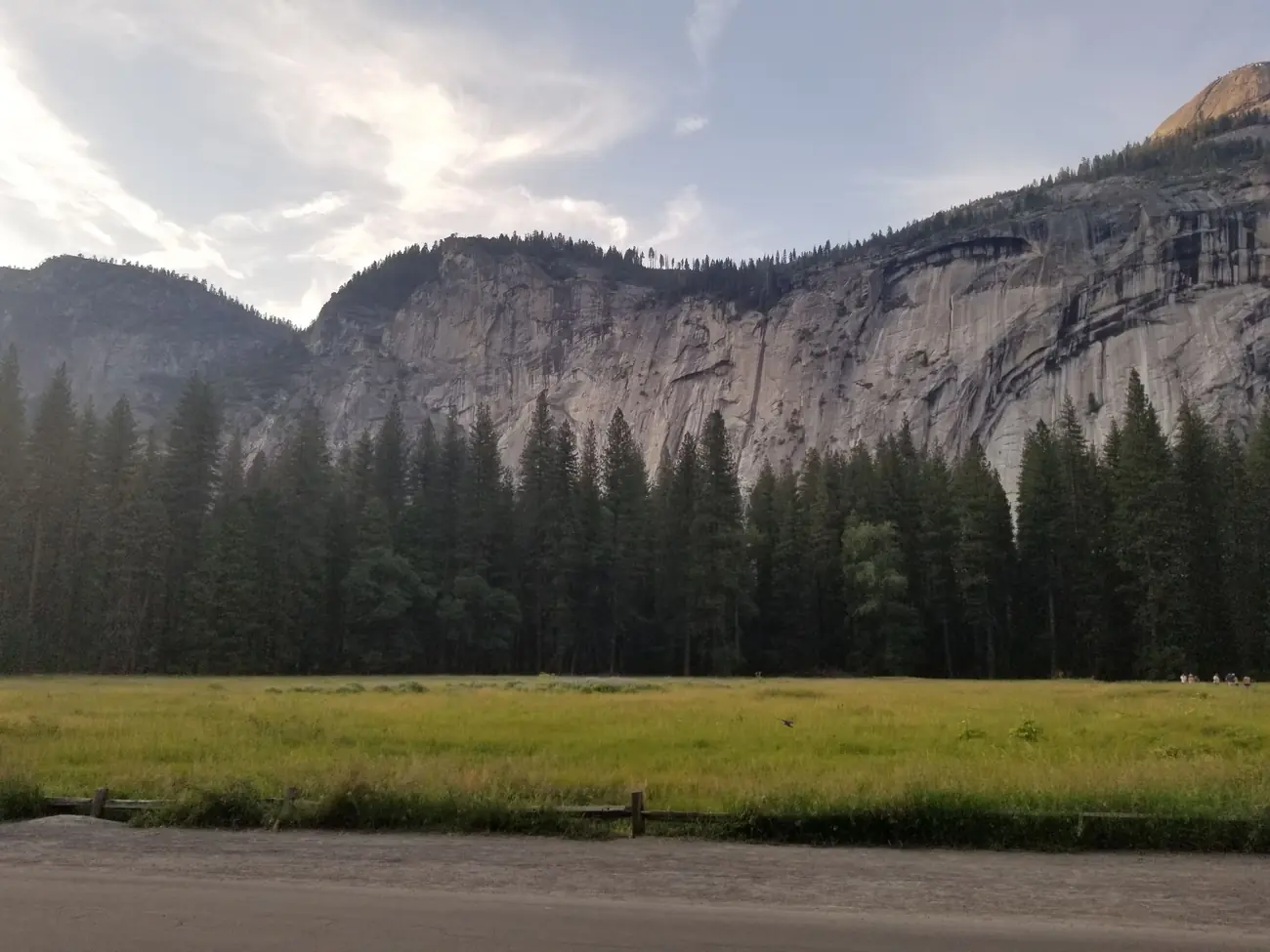
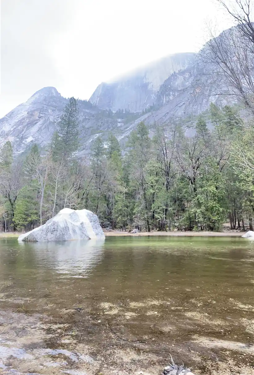
Yosemite in photos: 5 of the stops.
Plan and book your 3 days in Yosemite, one step at a time
- Glacier Point Road has been temporarily closed since September 23, 2026 for smoke and firefighting on the Dome Fire, northeast of Wawona, and the Ostrander Lake Trail and everything south of it are closed. Until it reopens, day 2 (Taft Point, Sentinel Dome, Glacier Point) cannot be driven: swap in Tioga Road, which is open. Source
- Smoke from the Dome Fire can bring periods of unhealthy air in parts of the park; check the park alerts before a long hike. Source
How 3 days in Yosemite split up
Plan 3 days for Yosemite. Walking: ~18 mi. Entry: $35. Reservation: Not required. The thing nobody tells you about a Yosemite 3 day itinerary is how small the famous part is. Yosemite Valley is about seven miles long and a mile wide, and it contains El Capitan, Half Dome, Yosemite Falls, Bridalveil Fall and the Mist Trail. The park is enormous, but the highlights are concentrated.
Day 1: The valley floor, and getting your bearings
5 stops · Day one
Day 2: Glacier Point, Taft Point and the rim
5 stops · Day two
Day 3: The Mist Trail to Vernal Fall
5 stops · Day three
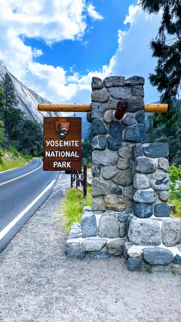
The valley floor, and getting your bearings
Start flat. The valley floor is served by a free shuttle and laced with paved paths, and the first day is about scale rather than effort. Walk to Lower Yosemite Fall, which is about a mile round trip on pavement and puts you at the base of the tallest waterfall in North America when it is running.
Not the order you want? Drag a stop, or use the arrows beside it. Stops move between days too.
- Drive from
$35 per vehicle · no reservation · DriveFresno is the nearest airport at about two and a half hours; San Francisco is around four. Entry is $35 per vehicle for seven days and there is no day-use reservation required in 2026.
- Lower Yosemite Fall
~1 mi round trip · paved · HikeA paved mile that takes you to the foot of the tallest waterfall in North America. In May and June the spray reaches the bridge; by August it can be dry rock.
- Mirror Lake
Flat · Half Dome reflection · routeA seasonal pool below Half Dome rather than a permanent lake, and the reflection everyone photographs is a spring phenomenon. By late summer it is usually a meadow.
- Tunnel View at sunset
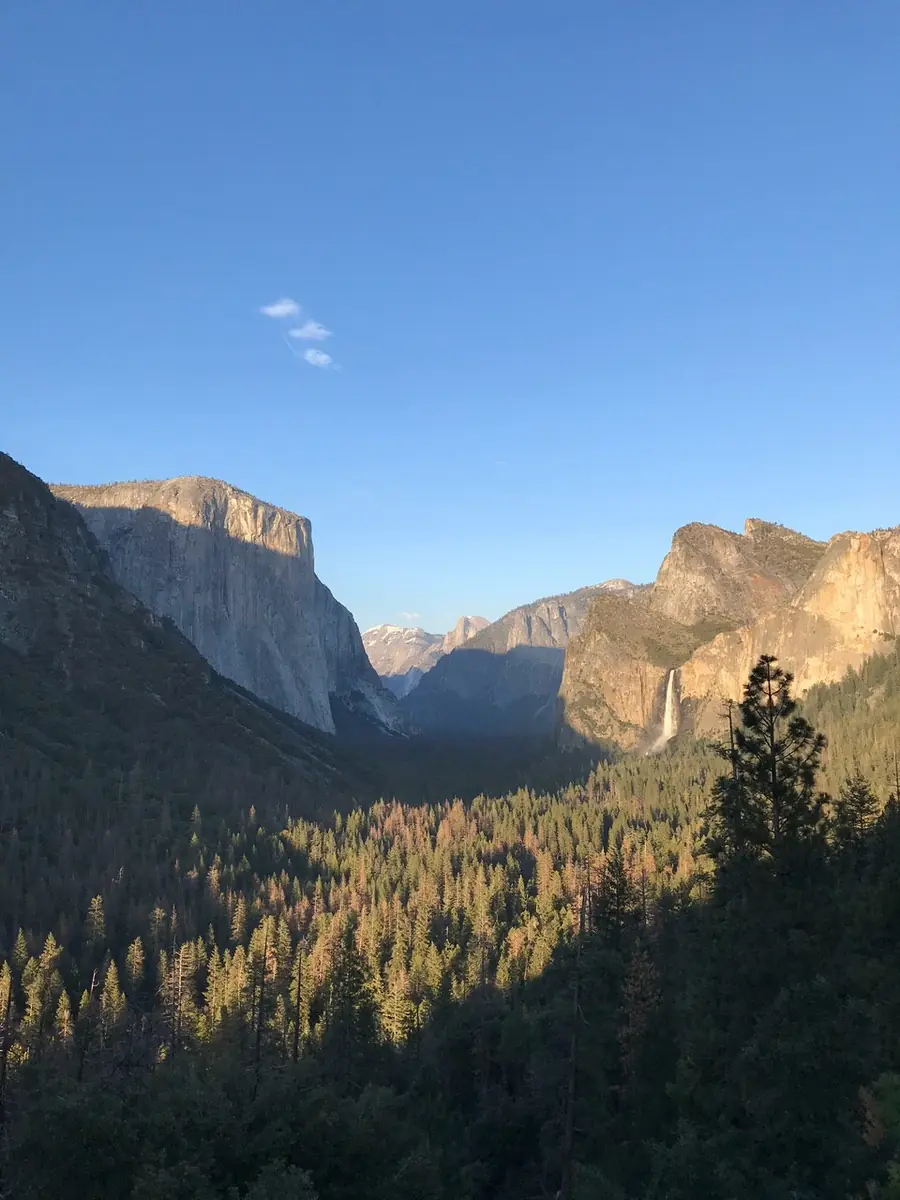
Roadside pullout · ViewpointEl Capitan on the left, Bridalveil Fall on the right, Half Dome at the far end. It is a roadside pullout on Wawona Road and it is the definitive view of the valley. Go at sunset and arrive early for parking.
- Stay in El Portal
15 min below the valley · or Valley or Mariposa · lodgeValley lodging is released five months ahead and sells out in seconds. El Portal is fifteen minutes from the valley and much easier to book; Mariposa is cheaper again and about an hour out.
Glacier Point, Taft Point and the rim
Glacier Point sits 3,200 feet directly above the valley floor, looking straight across at Half Dome and down onto the trails you walked yesterday. It is about an hour of driving from the valley even though it is barely three miles as the raven flies. Glacier Point Road opened on 9 May 2026, and it closes with the first serious snow.
Not the order you want? Drag a stop, or use the arrows beside it. Stops move between days too.
- Drive up Glacier Point Road
~1 hr from the valley · DriveAbout an hour of driving to climb 3,200 feet you could see from the valley floor. The road opened to vehicles on 9 May 2026 and closes with the first heavy snow, usually in November.
- Taft Point
~1 mi each way · no railings · mtnAn easy mile through forest to a cliff edge split by deep fissures dropping straight to the valley. There are almost no railings, and it is the most genuinely dangerous easy walk in Yosemite.
- Sentinel Dome
~1 mi each way · 360 view · mtnA similar distance from the same trailhead area to a granite dome with a full 360 degree view: Half Dome, the high country, and the valley below. The final slope is bare rock but not exposed.
- Glacier Point
3,200 ft above the valley · ViewpointStraight across at Half Dome, straight down at the Mist Trail. The railed overlook is a short walk from the parking area, which fills by mid-morning in summer. Sunset here is worth the drive on its own.
- Second night in El Portal
Same base · lodgeSame bed. Tomorrow starts early in the valley, so the closer you are the better.
The Mist Trail to Vernal Fall
The one real climb, and the best half day in the park. The Mist Trail starts at Happy Isles and goes up a granite staircase beside Vernal Fall. To the footbridge is about 1.6 miles round trip and easy. To the top of Vernal Fall is about 2.4 miles round trip and roughly 1,000 feet of stone steps, which get soaked in spring.
Not the order you want? Drag a stop, or use the arrows beside it. Stops move between days too.
- Happy Isles trailhead
Start before 8am · HikeWhere the Mist Trail begins, reached by the valley shuttle. This is the busiest trail in the park, so an early start is the difference between a walk and a queue.
- Vernal Fall footbridge
~1.6 mi round trip · WaterA steady paved climb to a bridge with the fall ahead of you. This is a perfectly good turnaround point and most people do exactly that.
- Top of Vernal Fall
~2.4 mi round trip · 1,000 ft · mtnRoughly 1,000 feet of granite steps cut beside the waterfall. In spring the spray soaks the steps and you, which is where the trail gets its name. Slick rock and a lot of people coming down.
- Nevada Fall and the John Muir descent
~5.4 mi · 2,000 ft total · routeContinuing to the top of Nevada Fall makes the day about 5.4 miles and 2,000 feet. Come down the John Muir Trail rather than the steps: gentler on the knees, better views back at the fall, and only about a mile longer.
- Drive home from Yosemite
~2 hr 30 to Fresno · DriveTwo and a half hours down to Fresno, or about four to San Francisco. After the Mist Trail, do not plan a late flight the same day.
Book the 2 nights
Beds near the trailheads are the one thing on this trip that genuinely runs out. Everything else can be decided later.
Tell us your dates and we will do the checking. We find what is still open near each trailhead and email you this plan back with a booking link for each night. Nothing is charged and you decide at the end.
Request to bookWhat to pack for Yosemite
Built from this route, not a generic list. Every line says why it is here.
On every day of this trip
On your feet
Because you are sleeping indoors
For the driving days
What actually decides a Yosemite trip, and it is not the crowds.
No entrance reservation in 2026
There is no day-use or peak-hours booking system this year. A lot of well-ranked pages still say there is. Check the park website rather than a blog, because this rule has changed almost every year since 2020.
The waterfalls are seasonal
Yosemite Falls is snowmelt fed and can be bone dry by August. May and June are peak flow. If falls are the reason you are coming, the month matters more than anything else.
The rim is an hour from the floor
Glacier Point looks close enough to shout at from the valley and is an hour of driving away. Do not plan to nip up there between other things.
Taft Point has no railings
The fissures drop straight to the valley floor with nothing between you and the edge. It is the single most dangerous easy walk in the park.
Planning Yosemite, answered.
Yosemite 3 day itinerary: the questions people ask most.
No. There is no day-use or peak-hours entrance reservation for 2026. Many older guides still say otherwise because the rule changed almost every year from 2020 onward. You still need to pay the entrance fee of $35 per vehicle.
Yes for the valley and the rim. Three days covers the valley floor, Glacier Point and Taft Point, and the Mist Trail. What it will not cover is Tuolumne Meadows and the high country, which need Tioga Road to be open and at least another day.
$35 per private vehicle for seven days, $30 for a motorcycle and $20 on foot or bicycle. The $80 America the Beautiful pass covers it. New for 2026, non-US residents pay a $100 per person surcharge on top.
It opened to vehicles on 9 May 2026. The exact date moves each year with snowmelt and the road closes again with the first heavy snow, usually in November. If you visit before it opens, replace day two with Mariposa Grove and Tunnel View.
The footbridge is about 1.6 miles round trip and manageable for most people. The top of Vernal Fall is about 2.4 miles round trip with roughly 1,000 feet of granite steps that are genuinely wet and slippery in spring. Continuing to Nevada Fall makes it about 5.4 miles and 2,000 feet.
May and June, when the waterfalls are at full volume and Glacier Point Road has usually opened. September and October are much quieter with better hiking weather, but the falls are low or dry by then.
Work in layers: day one on the valley floor for Lower Yosemite Fall, Mirror Lake and Tunnel View, day two up on the rim at Glacier Point and Taft Point, and day three on the Mist Trail to Vernal and Nevada Falls. No entrance reservation is required for 2026, confirmed against the National Park Service, so the only thing to book ahead is lodging.
Yes. Tell us your dates and we check what is still open for the plan on this page, then send it back with a booking link for each night and the total. Nothing is charged and nothing is held, and you pay the normal rate.
Pick how you want to go.
Same 3-day route. Same 10 stops.
- 2 nights, a campsite near El Portal
- $72
- Rental car, 3 days
- $195
- Gas, about 198 miles
- $40
- Park entry, one car
- $35
- 2 nights, a room in El Portal
- from $338
- Rental car, 3 days
- $195
- Gas, about 198 miles
- $40
- Park entry, one car
- $35
- A private local guide, rooms and campsites booked
- Included
- Airport pickup and every drive
- Included
- Park, permit and campsite fees paid
- Included
- All the gear and the trail meals
- Included
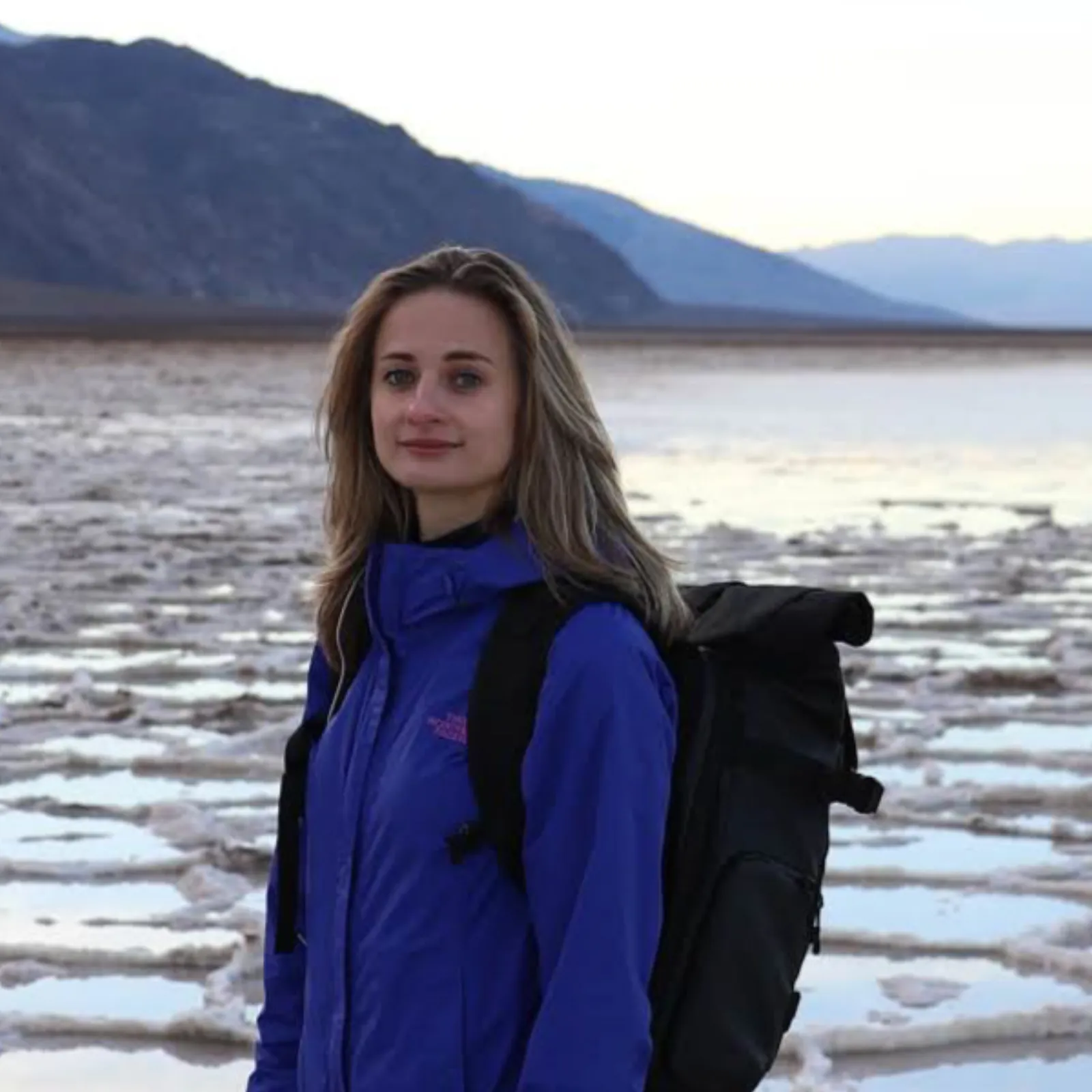
Written and walked by Yulia Vasilyeva · Co-founder · Lead planner and guide
Three years leading guided hikes in the Pacific Northwest, rated 5.0 by 20+ verified guests, and she builds every custom itinerary herself. Based in Seattle.
Last checked September 2026
You might also love these
Other itineraries near this one.

Yosemite Hiking Trips: Best Trails & Complete Guide
Half Dome, the Mist Trail to Vernal & Nevada Falls, Mirror Lake, and the Valley Loop, the four Yosemite Valley routes most worth your…

Yosemite 2 Day Itinerary: What Fits, and What to Skip
The valley floor on day one, then the Mist Trail to Vernal Fall and Glacier Point at sunset. Two days is enough for the valley and not…

John Muir Trail Section Hike: A 5-Day Sierra Itinerary
A 5-day John Muir Trail section hike from Tuolumne Meadows in Yosemite over 11,073-foot Donohue Pass and through the Ansel Adams…
Guides for this tripPlants of Yosemite National ParkThings to Do in Oakhurst, CAFall Colors in Yosemite National ParkYosemite Itinerary
What adventurers say about us.
All reviews are from verified guests. ★★★★★ 5.0 average from 20+ bookings.
"Felt like going out with a really knowledgeable friend who just happens to know everything about the area. No awkward tour-guide energy, just a magnificent day."
"Yulia is an incredible guide. She knew every trail, every viewpoint, and exactly how to pace the day for our group. The photos she took of us were stunning. 100% booking again."
"I was visiting Seattle solo and this was the best decision I made on the trip. Yulia picked me up, had snacks, and took us to a trail I never would have found on my own. Absolute must-do."
"We did this as a couple's trip and it was perfect. Yulia adapted everything to us, our pace, our interests, our photo obsession. The mountain views were unreal."
"Phenomenal experience. Yulia has deep local knowledge and a real passion for the outdoors. She went out of her way to show us the hidden gems tourists never see. Will remember this forever."
"I've done a few guided hikes and this was by far the best. Yulia is warm, funny, and genuinely expert. The trail she chose had the most insane wildflower bloom, we got so lucky."
Fees, reservation windows, shuttle dates and trail closures are planning estimates. Confirm hours, road status and any reservations with the land manager before you go.
What other travelers are saying
Be the first to leave a tip or question for the next traveler.
Was this helpful?
One tap. It goes straight to Yulia and Margarita.
You can't hike it if you can't get the permit.
The best hikes in America run on lotteries that open once a year and sell out in minutes. Every trail runs on its own calendar. Pick the ones you want and we do the watching.
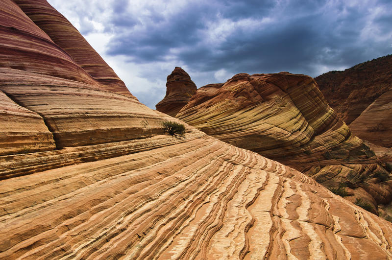 The WaveCoyote Buttes North · Arizona / UtahPermitLotterybrutal odds
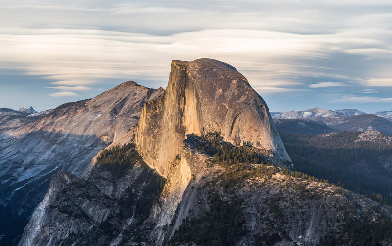 Half Dome CablesYosemite NP · CaliforniaPermitOpens Mar 1fair odds
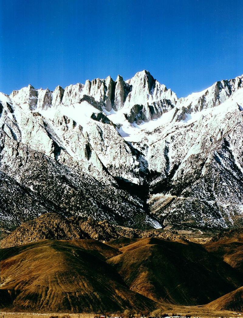 Mt. WhitneyInyo NF · CaliforniaPermitOpens Feb 1tough odds
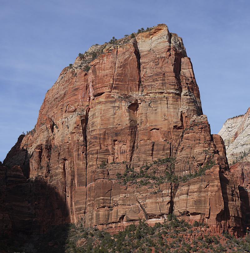 Angels LandingZion NP · UtahPermitLotterytough odds
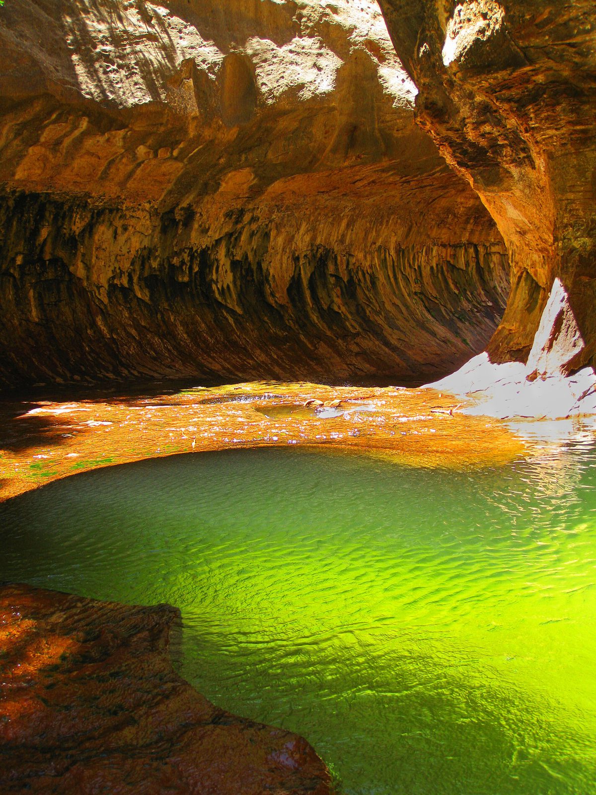 The SubwayZion NP · UtahPermitLotterytough odds
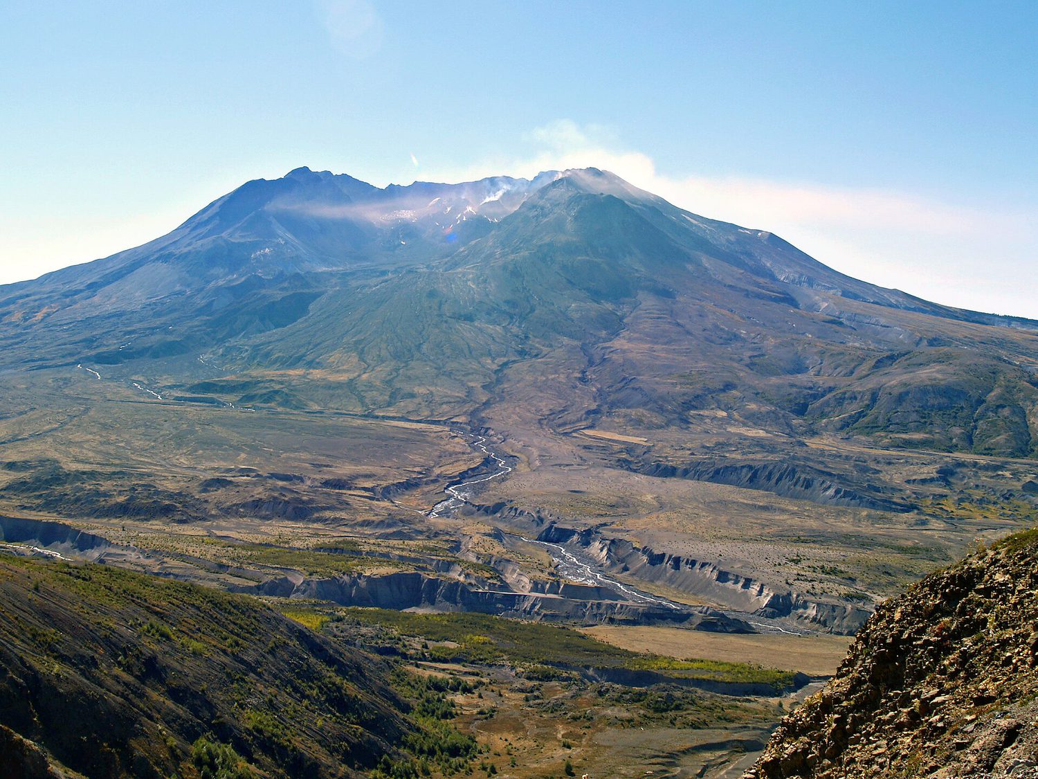 Mount St. Helens Summit ClimbGifford Pinchot NF · WashingtonPermitReservationtough odds
How it works
- An email the morning each window opens, never the day after.
- A 14-day heads-up so you can line up your group and dates.
- Win odds and a ranked backup plan for every trail you pick.
Didn't win? We keep watching. We check recreation.gov every day for The Enchantments, Half Dome and Angels Landing, and email you the moment a sold-out date frees up. Cancellations are the second chance most people never hear about.