Zion National Park: 3-Day Itinerary
One canyon carved in red, orange & white sandstone, in southwestern Utah.
Red sandstone cliffs, slot canyons, and the Virgin River. Angels Landing, The Narrows, and Kolob Canyons in Utah's most dramatic park.
“I’ve requested to book a Chain Lakes Loop guide on ExplorOFF, and it was the best idea ever! I highly recommend going with their guided option since you get a real human connection on the trail and don’t have to worry about a thing. Yulia was great to talk to!”




 14 stops on a real mapEvery stop pinned in order→
Zion: every stop pinned in order.
Zion Canyon, the Virgin River & the East Rim · Southwestern Utah
Every stop on this trip, in order, opens as one driving route in the Google Maps app. No copying addresses across one at a time.
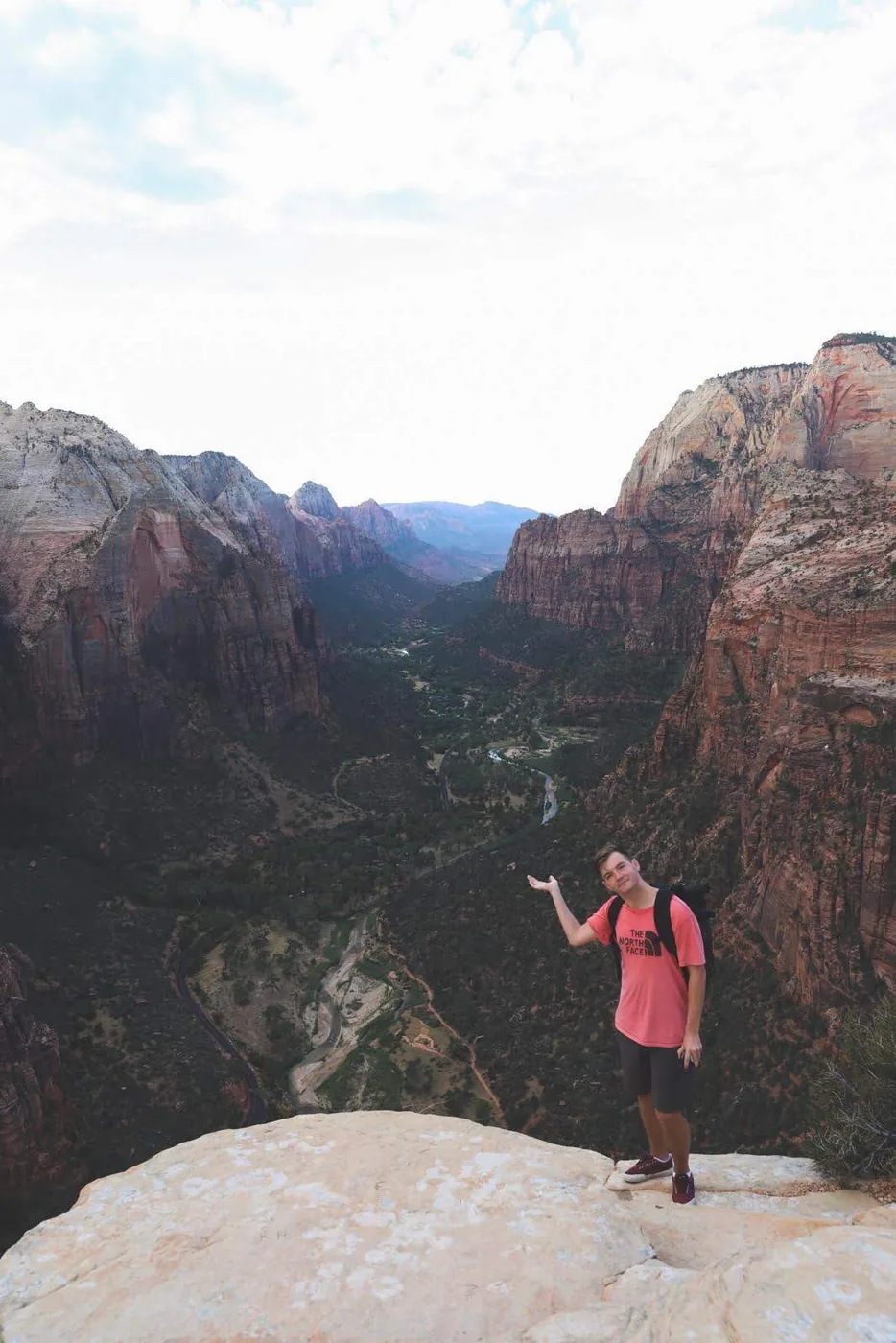
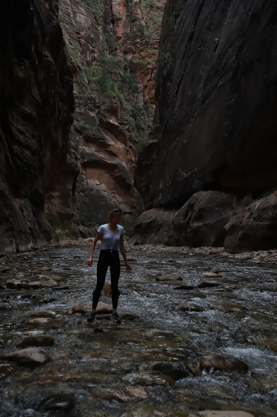
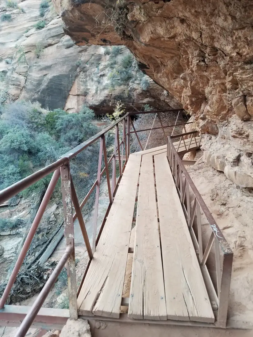
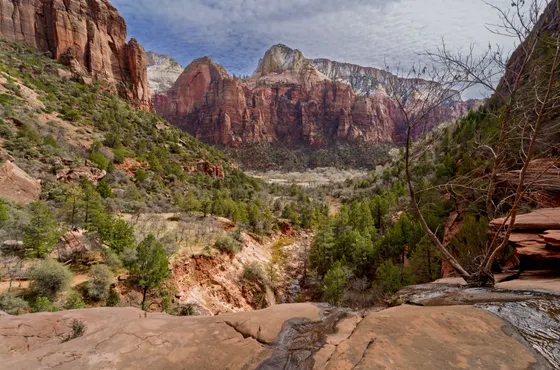
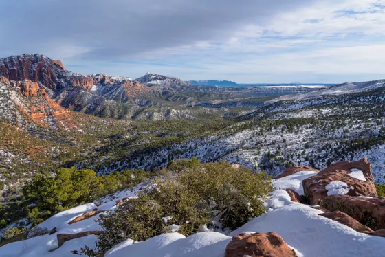
Zion in photos: 4 of the stops.
Plan and book your 3 days in Zion, one step at a time
- Toxic cyanobacteria are present in the Virgin River and Zion streams. On the Narrows day, do not put your head under or drink the river water, even filtered. Source
How 3 days in Zion split up
Plan 3 days for Zion. Base town: Springdale. Entry fee: $35 / car. Best months: Mar–May · Sep–Nov. Zion National Park in southwestern Utah is a canyon carved in red, orange, and white Navajo sandstone, a vertical world where 2,000-foot cliffs tower over the Virgin River and narrow slot canyons filter sunlight into ribbons of gold. It's consistently ranked among the most dramatic landscapes in the American West, and for good reason.
Day 1: The High-Adventure Monoliths
5 stops · Day one
Day 2: The Deep Canyon & The Narrows
5 stops · Day two
Day 3: The East Rim Highway & Exit Route
4 stops · Day three
The High-Adventure Monoliths
Day 1 is about beating the heat, securing parking, and tackling Zion's famous heights while the canyon is still cool and quiet.
Not the order you want? Drag a stop, or use the arrows beside it. Stops move between days too.
 Drive from
~2.5 hr · or 4.5 hr from Salt Lake City · DriveZion sits about 2.5 hours from Las Vegas and roughly 4.5 hours from Salt Lake City. Aim to be at the Zion Canyon Visitor Center by 6:15 AM, because the lot routinely fills by 7:30 AM in peak season. If it is full, park in Springdale and ride the free town shuttle to the pedestrian entrance.
- Angels Landing Trail
~5.4 mi RT · 1,488 ft · permit required · HikeTake the shuttle to Stop #6 (The Grotto). Cross the footbridge to the West Rim Trail, climb through shaded Refrigerator Canyon, then up the 21 switchbacks of Walter's Wiggles to Scout Lookout. If you drew a permit, push up the spine-tingling 0.5-mile chain section to the summit; if not, Scout Lookout itself delivers a knockout panoramic view with no reservation required.
See the trail → - Lunch at Zion Lodge
Stop #5 · Castle Dome Café · cottonwood lawn · ViewpointShuttle one stop south to Stop #5 (Zion Lodge). Grab a burger or salad at the Castle Dome Café and sprawl under the giant cottonwood on the lawn while your legs recover before the afternoon walk to the Emerald Pools.
- Lower & Upper Emerald Pools
~2.2 mi RT · shaded · waterfalls · HikeCross the road from the lodge to the Emerald Pools Trailhead. The 2.2-mile shaded round-trip passes weeping alcoves and waterfall-fed pools, a perfect low-impact cool-off after the morning's climb.
 Andrey Zharkikh from S / CC BY 2.0Stay in Springdale
Walkable base · town shuttle to the park · lodgeBase in Springdale just outside the south entrance, the most convenient and walkable base with restaurants and lodging at all price points. The town shuttle connects directly to the park shuttle. Book months ahead for summer and fall weekends. Dinner at King's Landing Bistro or Bit & Spur.

The Deep Canyon & The Narrows
Day 2 stays low on the canyon floor, wading the Virgin River through a 1,000-foot slot, where the walls close to within twenty feet of each other.
Not the order you want? Drag a stop, or use the arrows beside it. Stops move between days too.
- Zion Adventures · Narrows gear rental
Springdale · dry-bib package spring and fall, footwear package in summer · book ahead · activityGear up around 7:00 AM at a Springdale outfitter (Zion Adventure Company or Zion Outfitters) for a "Narrows Package": neoprene socks, sticky-soled canyon boots, and a sturdy wooden walking stick. Don't attempt The Narrows in running shoes, the algae-slick river rocks will eat you alive.
Book this → 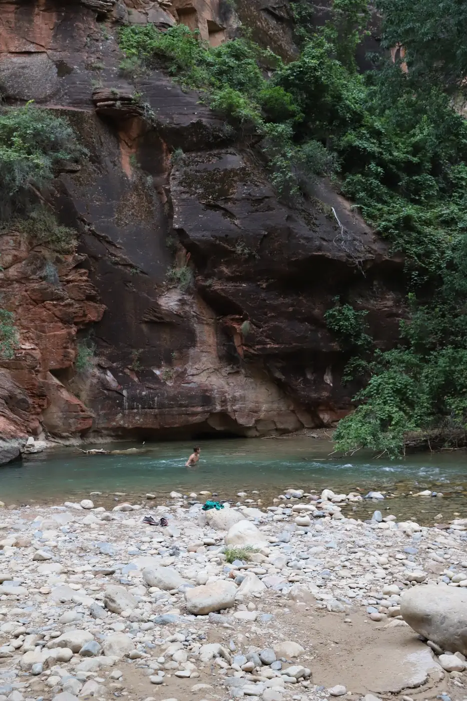 Riverside Walk
Paved 1 mi · Stop #9 Temple of Sinawava · ViewpointTake the shuttle to the final stop, Stop #9 (Temple of Sinawava). Walk the paved 1-mile Riverside Walk alongside the Virgin River to the point where the pavement ends and the river itself becomes the trail.
- The Narrows (Bottom Up)
~9.4 mi RT · 334 ft · hard · no permit · HikeStep into the cold Virgin River and hike upstream into the towering slot canyon. Push for roughly two hours upriver until you reach Wall Street, the narrowest and most dramatic section, where the walls rise 1,000 feet and close to within 22 feet of each other. Turn back here and retrace your route. No permit required for this stretch. Before stepping in, confirm there are no flash-flood warnings or toxic-cyanobacteria advisories.
See the trail → - Court of the Patriarchs
Stop #3 · 5-minute walk · Abraham, Isaac & Jacob · ViewpointOn the shuttle ride back down the canyon, hop off briefly at Stop #3 (Court of the Patriarchs) for a 5-minute walk to the viewpoint of the three massive sandstone peaks: Abraham, Isaac, and Jacob. Photograph and reboard the next shuttle, they come every few minutes.
- Second night in Springdale
Walkable base · town shuttle to the park · lodgeStay a second night in Springdale so you can be on the early shuttle and reach the Temple of Sinawava before the heat and crowds build. Keeping the same base means no packing up between your two big canyon days.
The East Rim Highway & Exit Route
Day 3 turns the trip into a seamless eastward transition toward your next destination, with zero backtracking.
Not the order you want? Drag a stop, or use the arrows beside it. Stops move between days too.
- Zion–Mount Carmel Highway & Tunnel
Highway 9 switchbacks · historic 1930 tunnel · DriveCheck out around 8:00 AM and leave Springdale on Highway 9 (the Zion–Mount Carmel Highway), ascending the spectacular switchbacks that climb out of the canyon's main basin. Drive through the historic 1.1-mile tunnel blasted into solid sandstone in 1930, watching for the cut-out windows that offer brief glimpses down into the canyon.
- Canyon Overlook Trail
~1 mi out-and-back · cliff edge & boardwalk · HikeImmediately after exiting the tunnel, look for the small parking areas on the right and left. The 1-mile out-and-back hugs a cliff edge, crosses a wooden boardwalk bridge, and ends at a sheer drop directly over Zion Canyon. The reward-to-effort ratio rivals Angels Landing.
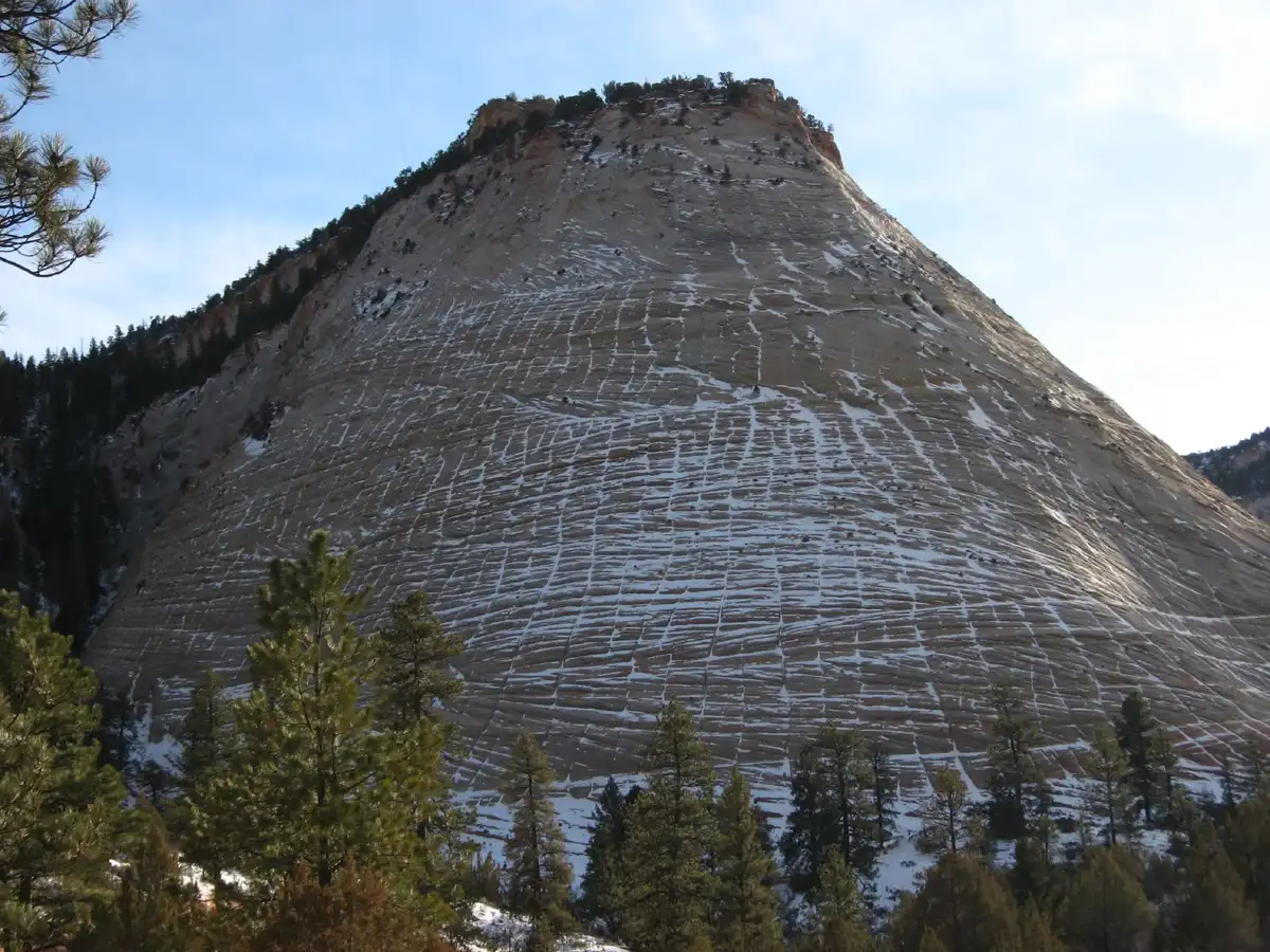 Ken Lund from Reno, Ne / CC BY-SA 2.0Checkerboard Mesa
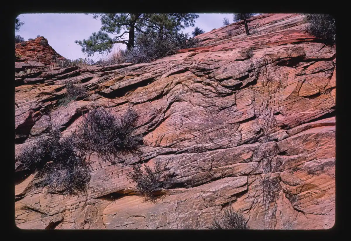
Pullout 10 to 15 min east of the tunnel · ViewpointContinue east another 10 to 15 minutes to the Checkerboard Mesa pullout, a massive white-and-red sandstone hill weathered into a grid of horizontal and vertical cracks.
- Onward: Bryce, Page or Grand Canyon North Rim
Bryce <2 hr · Page ~2 hr · GC North Rim ~3 hr · DriveFrom the East Entrance you're perfectly positioned for the next leg with no repeated mile: Bryce Canyon National Park (under 2 hours northeast on UT-9/US-89), Page, AZ plus Horseshoe Bend and Antelope Canyon (~2 hours east), or the Grand Canyon North Rim (~3 hours southeast).
Book the 2 nights
Beds near the trailheads are the one thing on this trip that genuinely runs out. Everything else can be decided later.
Tell us your dates and we will do the checking. We find what is still open near each trailhead and email you this plan back with a booking link for each night. Nothing is charged and you decide at the end.
Request to bookAngels Landing (Zion) opens on its own calendar
The chains-route lottery for Zion's Angels Landing, seasonal and day-before draws.
| Permit | Required: Angels Landing (Zion) Official page |
|---|---|
| Application window | seasonal lotteries plus a day-before lottery |
| Odds of drawing | Seasonal lottery moderate; day-before harder |
| If your application is denied | Enter the day-before lottery, or hike to Scout Lookout (no permit, same views minus the chains). |
| Trip starts from | Springdale, UT, flying into Las Vegas (LAS) |
What to pack for Zion
Built from this route, not a generic list. Every line says why it is here.
On every day of this trip
On your feet
Because you are sleeping indoors
For the driving days
Specific to Zion
What we actually learned in the canyon.
America the Beautiful Pass
If you're visiting two or more national parks on this trip, the $80 annual pass pays for itself at the gate after Zion plus one more.
Hydration
The desert dries you out faster than you expect. Carry 2 to 3 liters of water per person, even on cooler days.
Shuttle strategy
Private vehicles are banned on the Zion Canyon Scenic Drive from March through November. The free shuttle runs every few minutes starting around 6 AM, so embrace it.
Permit lottery
Angels Landing permits open via two lotteries on recreation.gov, a seasonal lottery (months ahead) and a day-before lottery (noon MT, day before you hike). The fee is ~$6 regardless of outcome.
Read the flash-flood rating every morning
The Narrows and Zion's slot canyons carry a real, sometimes fatal flash-flood risk, since rain falling miles upstream can send a wall of muddy water through a canyon with nowhere to climb out. Check the day's flash-flood rating posted at the visitor center before you go, and never enter a narrows or deep wash when it reads Potential or Expected.
Zion: questions before you go
Zion canyon: the questions people ask most.
Yes, a permit is required to access the chains section above Scout Lookout. Permits are available through a lottery on recreation.gov (advance lottery opens weeks ahead; day-before lottery opens at 12pm mountain time). The lottery fee is ~$6 regardless of outcome.
March through May and September through November offer the best combination of mild temperatures and manageable crowds. Summer (June through August) is extremely crowded and very hot in the canyon. Spring can bring flash flood risk in The Narrows, so check forecasts.
No, private vehicles are not permitted on Zion Canyon Scenic Drive from mid-March through late November. The free park shuttle runs every 6 to 10 minutes from the visitor center to the canyon's end. Off-season you can drive your own vehicle.
Generally yes, but flash floods are a serious risk, they can occur without warning even on sunny days if it's raining upstream. Always check the NPS flash flood forecast before entering. Avoid The Narrows if there is any flood potential.
It is strenuous and exposed. The steep switchbacks (Walter's Wiggles) are manageable for most fit hikers. The final chain section requires comfort with heights, there are significant drops on both sides of a narrow ridge. Not suitable for those with a fear of heights or vertigo.
Springdale sits just outside the south entrance and is the most convenient base, walkable, with good restaurants and lodging at all price points. The town shuttle connects directly to the park shuttle. Book months ahead for summer and fall weekends.
Yes. A solid 1-day Zion itinerary is: park by 6:15 AM, ride the shuttle to The Grotto and hike Angels Landing (or Scout Lookout if you didn't draw a permit), lunch at Zion Lodge, then shuttle to the Temple of Sinawava for the Riverside Walk and a short taste of the lower Narrows. If you have energy left, drive Highway 9 east and finish with the 1-mile Canyon Overlook Trail near sunset. It's a full day, but you'll hit the park's headline views.
Use Days 1 and 2 of this plan, then fold Day 3's highlight into your exit. Day 1: Angels Landing (permit lottery) plus the Emerald Pools, based in Springdale. Day 2: rent Narrows gear, wade the bottom-up Narrows to Wall Street, then drive the Zion-Mount Carmel Highway east and stop for the Canyon Overlook Trail on your way out. A 2-day Zion itinerary covers both famous hikes without the same-day burnout trap.
Absolutely, and it's one of the best pairings in the Southwest. Bryce Canyon is about a 1.5-hour drive from Zion's East Entrance via UT-9 and US-89, so this route's eastward exit sets it up perfectly. A good split for a Zion and Bryce Canyon itinerary is 2 to 3 days in Zion and 1 to 2 days in Bryce: hike the Queens Garden and Navajo Loop, catch sunrise at Sunrise or Sunset Point, then continue on. Five days total is the sweet spot.
Yes, the Zion, Bryce, and Grand Canyon loop is a classic Southwest road trip. Follow this 3-day Zion plan, drive about 1.5 hours to Bryce Canyon for a day or two, then head south roughly 2.5 hours to the Grand Canyon North Rim (typically open mid-May to mid-October, so check current road status before you go, or route to the South Rim instead, about 4 to 5 hours from Bryce). Plan 6 to 8 days for the full Grand Canyon, Bryce, and Zion itinerary without rushing.
Drop one of the two big canyon hikes rather than rushing both. Keep Day 1 as written, Angels Landing or Scout Lookout plus the Emerald Pools, then use Day 2 for the Narrows and the Zion-Mount Carmel Highway exit with the Canyon Overlook Trail, skipping Court of the Patriarchs and Checkerboard Mesa. That gives you a realistic 2 day Zion National Park itinerary with both headline hikes instead of a rushed 3-day plan squeezed into 2 days.
Yes, Angels Landing is required. The chains-route lottery for Zion's Angels Landing, seasonal and day-before draws.
Application window: seasonal lotteries plus a day-before lottery.
Seasonal lottery moderate; day-before harder.
Enter the day-before lottery, or hike to Scout Lookout (no permit, same views minus the chains).
Springdale, UT is the gateway town, flying into Las Vegas (LAS).
Yes. Tell us your dates and we check what is still open for the plan on this page, then send it back with a booking link for each night and the total. Nothing is charged and nothing is held, and you pay the normal rate.
Pick how you want to go.
Same 3-day route. Same 9 stops.
- 2 nights, a campsite near Springdale
- $44
- 2 nights, a room in Springdale
- from $420

- A private local guide, rooms and campsites booked
- Included
- Airport pickup and every drive
- Included
- Park, permit and campsite fees paid
- Included
- All the gear and the trail meals
- Included
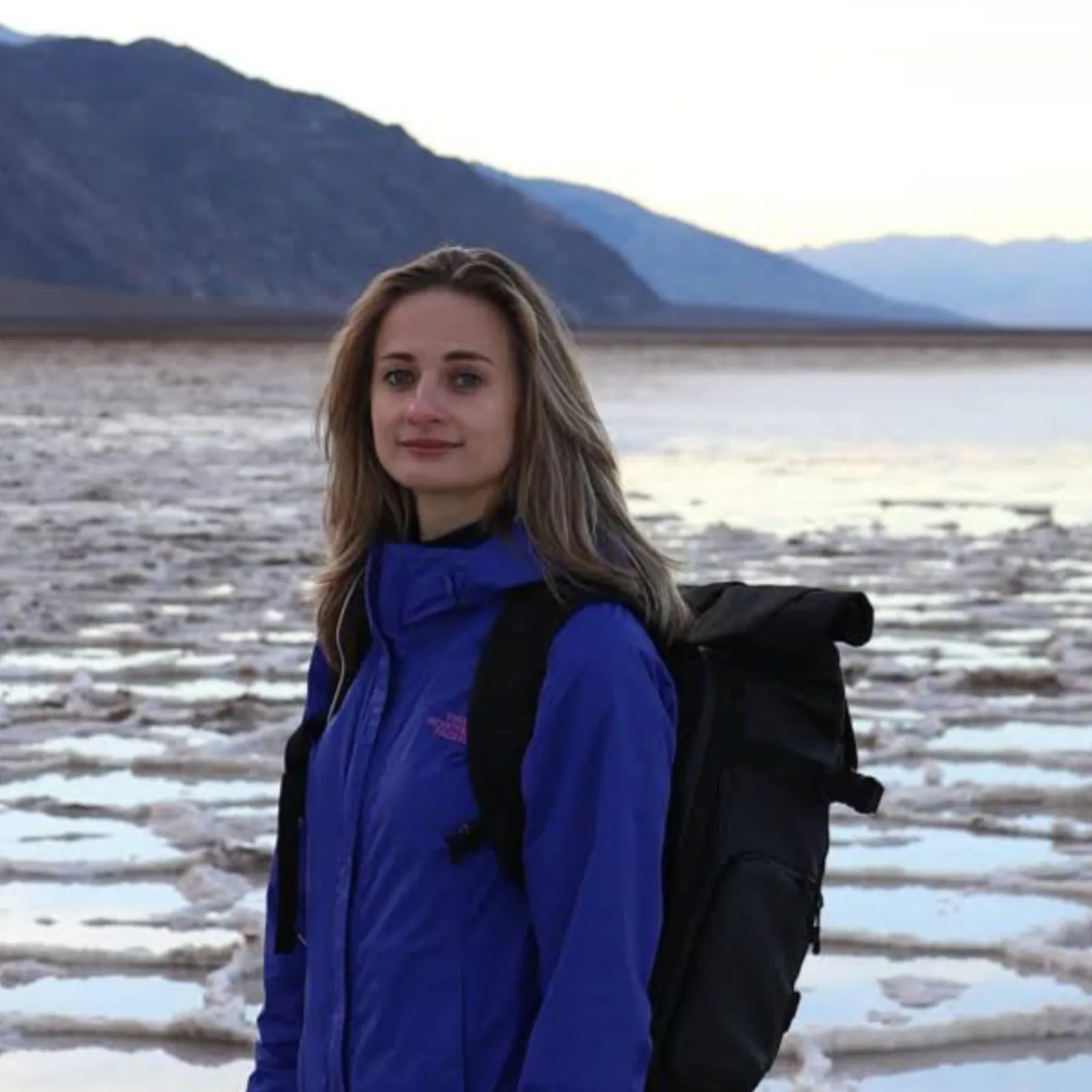
Written and walked by Yulia Vasilyeva · Co-founder · Lead planner and guide
Three years leading guided hikes in the Pacific Northwest, rated 5.0 by 20+ verified guests, and she builds every custom itinerary herself. Based in Seattle.
Last checked September 2026
You might also love these
Other itineraries near this one.

Las Vegas to Zion National Park: A 3-Day Road Trip Itinerary
Drive about 160 miles and 2.5 hours from Las Vegas to Zion National Park, then ride the canyon shuttle to Angels Landing, The Narrows,…

Best National Parks to Visit in May: A Spring Guide
The best national parks to visit in May: Yosemite at peak waterfall season, wildflowers in the Great Smoky Mountains, Zion before the…
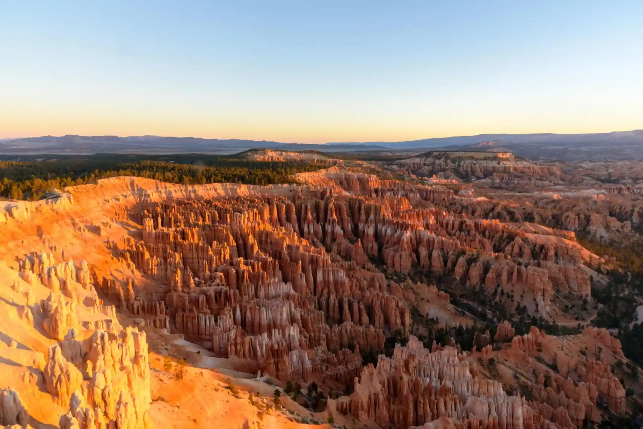
Zion National Park from Las Vegas: The Complete Itinerary
Just 2.5 hours from the Strip, Zion's towering sandstone cliffs make the perfect Vegas escape. Here's how to plan the drive, the hikes,…
Guides for this tripOne Day in Zion National ParkZion National Park Hiking GearZion National Park PhotographyAngels Landing Permit Lottery
What adventurers say about us.
All reviews are from verified guests. ★★★★★ 5.0 average from 20+ bookings.
"Felt like going out with a really knowledgeable friend who just happens to know everything about the area. No awkward tour-guide energy, just a magnificent day."
"Yulia is an incredible guide. She knew every trail, every viewpoint, and exactly how to pace the day for our group. The photos she took of us were stunning. 100% booking again."
"I was visiting Seattle solo and this was the best decision I made on the trip. Yulia picked me up, had snacks, and took us to a trail I never would have found on my own. Absolute must-do."
"We did this as a couple's trip and it was perfect. Yulia adapted everything to us, our pace, our interests, our photo obsession. The mountain views were unreal."
"Phenomenal experience. Yulia has deep local knowledge and a real passion for the outdoors. She went out of her way to show us the hidden gems tourists never see. Will remember this forever."
"I've done a few guided hikes and this was by far the best. Yulia is warm, funny, and genuinely expert. The trail she chose had the most insane wildflower bloom, we got so lucky."
Fees, reservation windows, shuttle dates and trail closures are planning estimates. Confirm hours, road status and any reservations with the land manager before you go.
What other travelers are saying
Be the first to leave a tip or question for the next traveler.
Was this helpful?
One tap. It goes straight to Yulia and Margarita.
You can't hike it if you can't get the permit.
The best hikes in America run on lotteries that open once a year and sell out in minutes. Every trail runs on its own calendar. Pick the ones you want and we do the watching.
 The WaveCoyote Buttes North · Arizona / UtahPermitLotterybrutal odds
 Half Dome CablesYosemite NP · CaliforniaPermitOpens Mar 1fair odds
 Mt. WhitneyInyo NF · CaliforniaPermitOpens Feb 1tough odds
 Angels LandingZion NP · UtahPermitLotterytough odds
 The SubwayZion NP · UtahPermitLotterytough odds
 Mount St. Helens Summit ClimbGifford Pinchot NF · WashingtonPermitReservationtough odds
How it works
- An email the morning each window opens, never the day after.
- A 14-day heads-up so you can line up your group and dates.
- Win odds and a ranked backup plan for every trail you pick.
Didn't win? We keep watching. We check recreation.gov every day for The Enchantments, Half Dome and Angels Landing, and email you the moment a sold-out date frees up. Cancellations are the second chance most people never hear about.