
Backpacking Maine:
7-Day 100-Mile Wilderness Itinerary
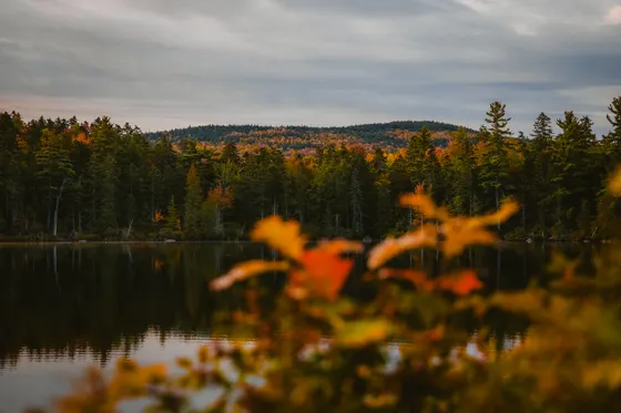
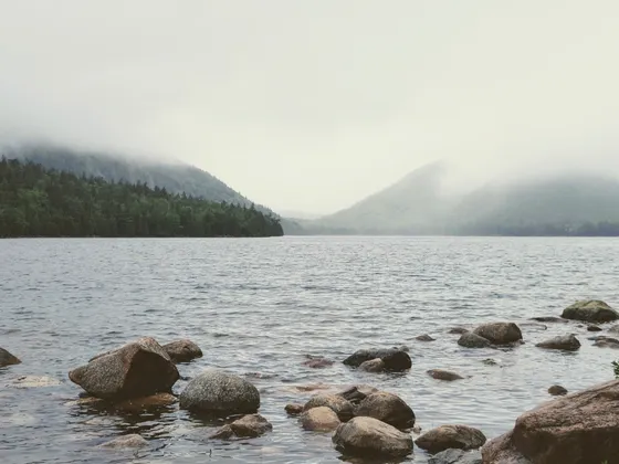
Seven days backpacking Maine's 100-Mile Wilderness, the most remote stretch of the Appalachian Trail: boreal forest, granite-capped peaks, river fords, remote ponds, and the first dramatic views of Katahdin.
Free interactive planner · drag & reorder your days, add stops, map it in minutes
Build your own 100-Mile Wilderness trip, drag, reorder & map it.
Drag the day stages between days, swap lean-tos, and add your own ponds, fords, and side trips like Gulf Hagas with the place search. The live map and distances recalculate as you go, and we'll flag a day that asks too much of the toughest stretch of the entire Appalachian Trail.
Opens a side panel · reorder days, add custom stops, see your route live
One hundred miles, no towns, no stores, no bail-out, the wildest stretch of the AT.
If you're serious about backpacking Maine, the 100-Mile Wilderness is the trip. The sign at the trailhead in Monson says it plainly: "There are no places to obtain supplies or get help until Abol Bridge, 100 miles north. Do not attempt this section unless you have a minimum of 10 days supplies and are fully equipped."
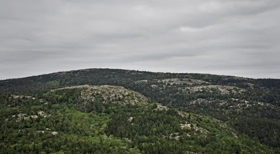
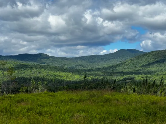
That's not exaggeration. The 100-Mile Wilderness runs from Monson, Maine to Abol Bridge at the southern boundary of Baxter State Park, 100 miles of boreal forest, granite-capped peaks, remote ponds, and bog crossings. No towns, no stores, no bail-out options you can count on. It's the toughest stretch of the entire Appalachian Trail and, for many backpackers, the single best week of backpacking in Maine you can do.
This 7-day itinerary is written for a strong backpacker covering 13 to 15 miles per day. First-timers should plan 9 to 10 days.
Shaw's Hiker Hostel in Monson is the classic pre-hike base, they hold your car, do a gear check, and cook an enormous breakfast before you leave. Book ahead at shawshikerhostel.com; they fill up. Shaw's also runs shuttles between Monson and Abol Bridge and offers mid-route food drops, both worth arranging before you start. If you continue to Katahdin, Baxter State Park camping and summit permits are required well in advance.
Monson to Wilson Valley Lean-to (10.4 miles)
Terrain: Rooty paths, minor stream crossings, and steady climbs.
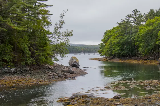
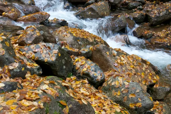
Leave from the Route 15 trailhead in Monson. The trail rolls through dense forest with roots, mud, and slick slate ledges, relatively flat but physically taxing with a full resupply pack. Around mile 6.5 you'll reach Little Wilson Falls, a 60-ft cascade that's the visual highlight of the day. Just past the falls comes the day's main obstacle: the ford at Big Wilson Stream, a wide, rocky crossing with a fixed rope strung across to help with the current; usually knee-deep in normal conditions. After the stream, the trail crosses railroad tracks and an active beaver dam, then continues on rolling terrain to Wilson Valley Lean-to (lean-to + tent sites, privy, stream 50 yards from shelter).
- AllTrails reference · rooty slate ledges out of Monson
- Big Wilson Stream fordWide, rocky crossing with a fixed rope · usually knee-deep
- Little Wilson FallsAbout mile 6.5 · a 60-ft cascade · the day's visual highlight
- Wilson Valley Lean-toLean-to + tent sites · privy · stream 50 yards from shelter
- Start at Shaw's Hostel in Monson for a gear check and breakfast before you hit the Route 15 trailhead.
- Use the fixed rope at Big Wilson Stream and your trekking poles. The crossing is usually knee-deep but the rocks are slick.
- Lean-tos are free and first-come, first-served. Show up, claim a spot on the platform, and pitch a tent nearby if it is full.
Wilson Valley Lean-to to Chairback Mountain Camp (15.1 miles)

Terrain: Steep, rugged ascent up the Chairback Range with rocky footing.
The first big day. From Wilson Valley, descend to ford Long Pond Stream, then begin the steep 1,400-ft climb up Barren Mountain (2,670 ft). The summit's open ledges deliver the first sweeping view: the Chairback Range marches north across the horizon. From Barren, the AT traverses Fourth Mountain and Third Mountain with steep, rocky descents between each ridge. End at Chairback Mountain Camp.
- Long Pond Stream fordDescend and ford before the climb up Barren Mountain
- Barren Mountain (2,670 ft)Steep 1,400-ft climb · first sweeping view of the Chairback Range
- Fourth Mountain & Third MountainTraverse with steep, rocky descents between each ridge
- Chairback Mountain CampEnd of the first big day on the range
- The climb up Barren Mountain is steep and rocky. Pace yourself with a heavy pack and use poles on the descents between ridges.
- The open ledges on Barren are your first big view. Take the break to look ahead at the Chairback Range you are about to cross.
- Filter at the streams before the long ridge traverse, since water is scarcer up on the range.
Chairback Mountain Camp to Carl A. Newhall Lean-to (16.0 miles)
Terrain: High-elevation ridge walking, exposed peaks, and technical descents.
Continue across Columbus Mountain and Chairback Mountain proper, then drop off the range into the valley of the West Branch of the Pleasant River. This is the day for the Gulf Hagas side trip, the "Grand Canyon of Maine," if your legs have it left in them. Drop heavy packs at the marked AT junction, do the 8.4-mile slate-gorge loop with five major waterfalls and 130-ft canyon walls, then continue north to Carl A. Newhall Lean-to (lean-to + tenting, privy, stream nearby).
- Columbus Mountain & Chairback MountainHigh-elevation ridge walking with technical descents
- West Branch of the Pleasant RiverDrop off the range into the river valley
- Gulf Hagas side tripThe "Grand Canyon of Maine" · 8.4-mi slate-gorge loop · five major waterfalls · 130-ft walls
- Carl A. Newhall Lean-toLean-to + tenting · privy · stream nearby
- Only add the 8.4-mile Gulf Hagas loop if your legs have it left. Drop your heavy pack at the marked AT junction first.
- Gulf Hagas is the "Grand Canyon of Maine," with five major waterfalls and 130-ft canyon walls. It is the best side trip on the route.
- Fill up at the West Branch of the Pleasant River before you climb back to camp at Carl A. Newhall Lean-to.


Carl A. Newhall Lean-to to Cooper Brook Falls Lean-to (15.7 miles)

Terrain: Flatter, softer forest floor alongside beautiful remote ponds.
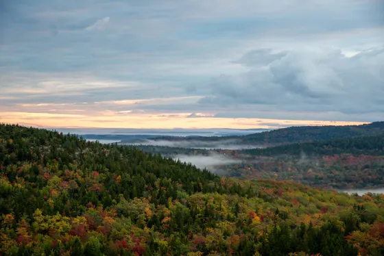
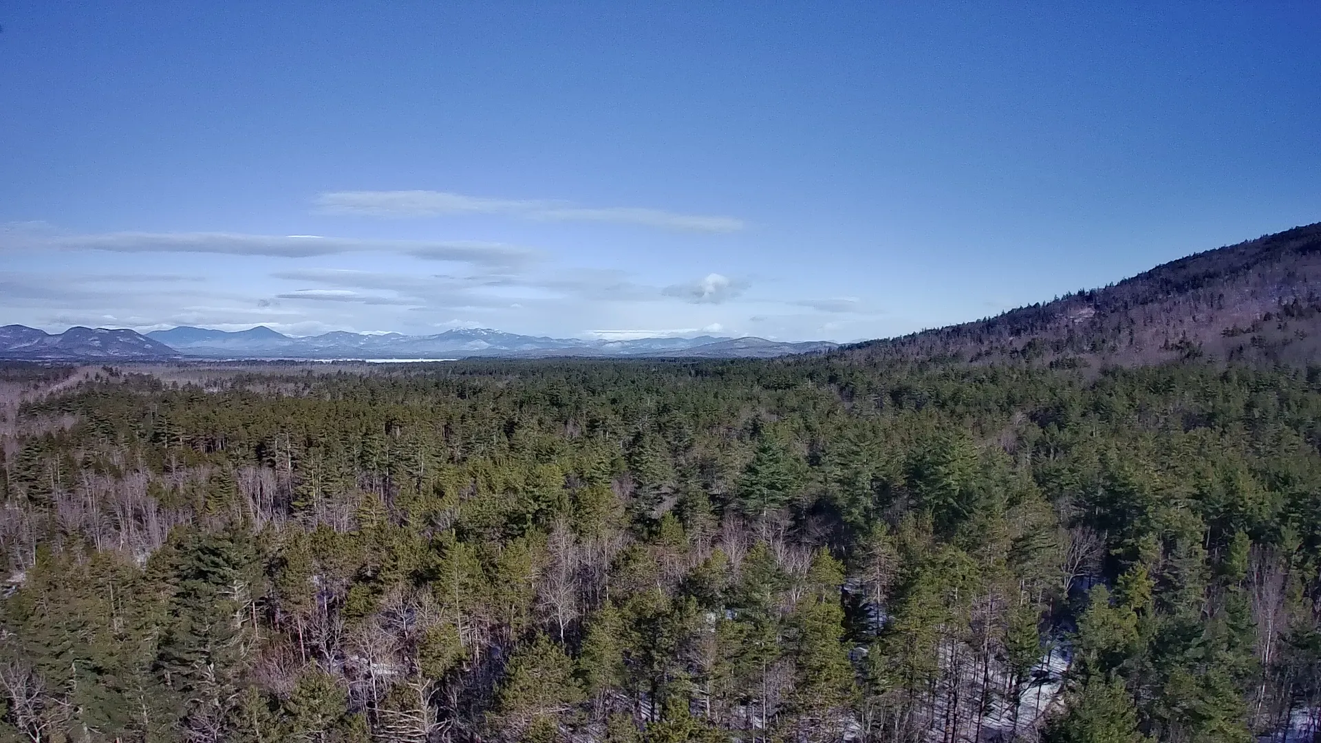
The big climb of the trip: White Cap Mountain (3,654 ft), the highest point of the 100-Mile Wilderness, plus the supporting summits of Gulf Hagas Mountain, West Peak, and Hay Mountain. From the open ledges of White Cap, on a clear day you'll see Katahdin 60 miles north, your motivation for the rest of the trip. After the summit, the trail descends a long north slope into softer, lower terrain past Logan Brook and a string of remote ponds. End at Cooper Brook Falls Lean-to, perched directly above a chain of small cascades.
- White Cap Mountain (3,654 ft)Highest point of the 100-Mile Wilderness · Katahdin 60 miles north on a clear day
- Gulf Hagas Mtn, West Peak & Hay MountainThe supporting summits before White Cap
- Logan Brook & remote pondsLong north-slope descent into softer, lower terrain
- Cooper Brook Falls Lean-toPerched directly above a chain of small cascades
- White Cap Mountain (3,654 ft) is the highest point and the big climb of the trip. Start early to be on the open ledges with clear air.
- On a clear day White Cap gives your first view of Katahdin, 60 miles north. It is the motivation for the rest of the trip.
- After White Cap the terrain softens past Logan Brook and the remote ponds, so push the miles to camp above the cascades at Cooper Brook Falls.
Cooper Brook Falls Lean-to to Wadleigh Stream Lean-to (14.5 miles)
Terrain: Gentle rolling hills and easy walking through dense boreal forest.
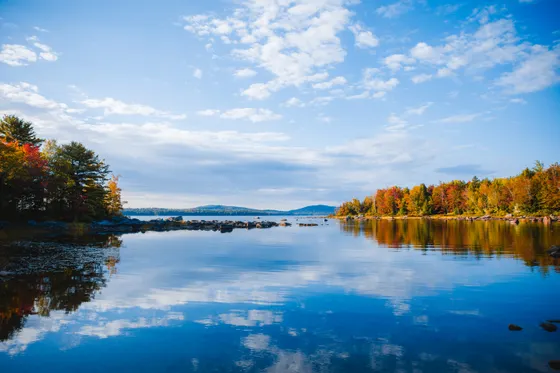
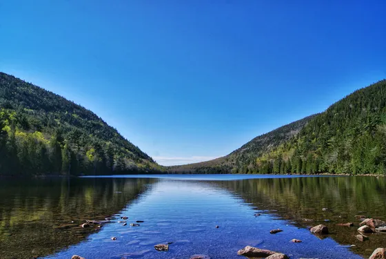
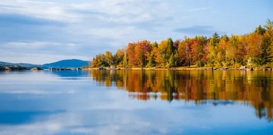
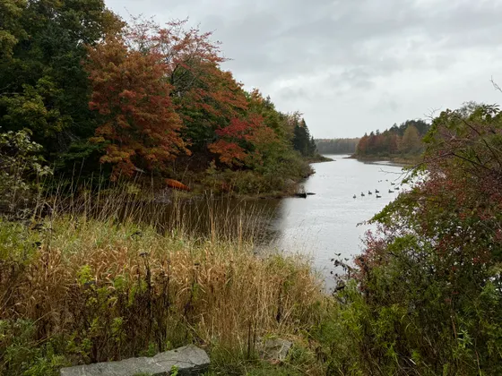
Pack up and head into the long lakeside corridor of the wilderness. White Cap is behind you, the terrain flattens out, and the day is about distance through boreal forest, past remote ponds, and along the shores of Jo-Mary, Pemadumcook, and Nahmakanta lakes. Camp at Wadleigh Stream Lean-to (lean-to + tenting, privy), set just back from the south end of Nahmakanta Lake.
- Jo-Mary, Pemadumcook & Nahmakanta lakesThe long lakeside corridor of the wilderness
- Boreal forest milesGentle rolling hills · easy walking · all about distance
- Remote pondsQuiet water through the heart of the wilderness
- Wadleigh Stream Lean-toLean-to + tenting · privy · south end of Nahmakanta Lake
- With White Cap behind you, this is a distance day on gentler terrain, so settle into a steady rhythm through the boreal forest.
- You walk the shores of Jo-Mary, Pemadumcook, and Nahmakanta lakes. Water is plentiful, so filter and drink often.
- Camp at Wadleigh Stream Lean-to just back from the south end of Nahmakanta Lake, a quiet lakeside night.
Wadleigh Stream Lean-to to Hurd Brook Lean-to (16.3 miles)

Terrain: Gradual climbs opening up to views of the surrounding lakes.
Climb over Nesuntabunt Mountain (1,520 ft, 1,100 ft gain from the lake, short but steep) with a clear sight line north to Katahdin, unmistakably massive on the horizon. Descend to Rainbow Lake and follow the western shore trail. The route crosses Rainbow Ledges later in the day, the last clear view of Katahdin before the trees close in completely. End at Hurd Brook Lean-to (lean-to + tenting, privy), a quiet last camp before the wilderness ends.
- Nesuntabunt Mountain (1,520 ft)Short but steep · 1,100 ft gain · clear sight line north to Katahdin
- Rainbow Lake western shoreDescend and follow the lakeside trail
- Rainbow LedgesLast clear view of Katahdin before the trees close in
- Hurd Brook Lean-toLean-to + tenting · privy · quiet last camp before the wilderness ends
- Nesuntabunt is short but steep, with 1,100 ft of gain from the lake. The reward is a clear sight line north to Katahdin.
- Rainbow Ledges later in the day is the last clear Katahdin view before the trees close in, so linger if the light is good.
- Hurd Brook Lean-to is your quiet last camp before the wilderness ends. Savor the final night in the deep woods.
Hurd Brook Lean-to to Abol Bridge (11.0 miles)
Terrain: Flat, fast-paced trails ending with views from Rainbow Ledges.
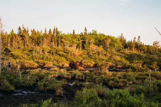
The final morning is broad boreal plateau, flat and fast. Watch for moose in the spruce bogs. Cross Abol Bridge over the West Branch Penobscot River. Look north: Katahdin rises 5,000 feet straight out of the treeline in front of you, one of the most dramatic views in New England. Shaw's shuttle meets you at the bridge. If you have a Baxter permit for Katahdin, the Abol Trail starts 0.5 miles north.
- Broad boreal plateauFlat and fast final morning · watch for moose in the spruce bogs
- Abol Bridge over the West Branch PenobscotKatahdin rises 5,000 feet out of the treeline · one of New England's most dramatic views
- Shaw's shuttle meets you at the bridge · book before you start
- Starts 0.5 mi north · only with a Baxter permit for Katahdin
- The final morning is flat and fast across the boreal plateau. Watch the spruce bogs for moose on your way out.
- Arrange Shaw's shuttle pickup at Abol Bridge before you start, since there is no cell service to call from the trail.
- If you have a Baxter permit for Katahdin, the Abol Trail to the summit starts 0.5 miles north of the bridge.
Now build your 100-Mile Wilderness trip.
You've seen all seven days. Open the free drag-and-drop planner and tune it for your pace, your food-drop plan, and whether you push the strong 7-day schedule or stretch it to a first-timer's 9 to 10 days.
What we actually learned in the wilderness.
No resupply, so carry 8 days of food
You carry everything from Monson; there is no resupply. For 7 days at this pace, plan 8 full days of food (one extra for weather delays). Target 1.5 to 2 lbs of food per day. Freeze-dried dinners plus trail mix, peanut butter, and bars. Total food weight runs 12 to 16 lbs. If you arrange a food drop with Shaw's, halve your starting load.
Filter everything
Giardia is present in Maine streams, so filter all your water. A Sawyer Squeeze or SteriPen is recommended, and carry 3L of capacity minimum between sources. You will be fording and filtering the whole route, from Big Wilson Stream to the lakeside corridor.
Lean-tos are free and first-come
You do not book lean-tos. The trail shelters along the Appalachian Trail are completely free and operate strictly first-come, first-served. There are no reservations, so simply show up, claim a spot on the platform, and pitch a tent nearby if it is full.
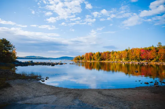
Go mid-July through September
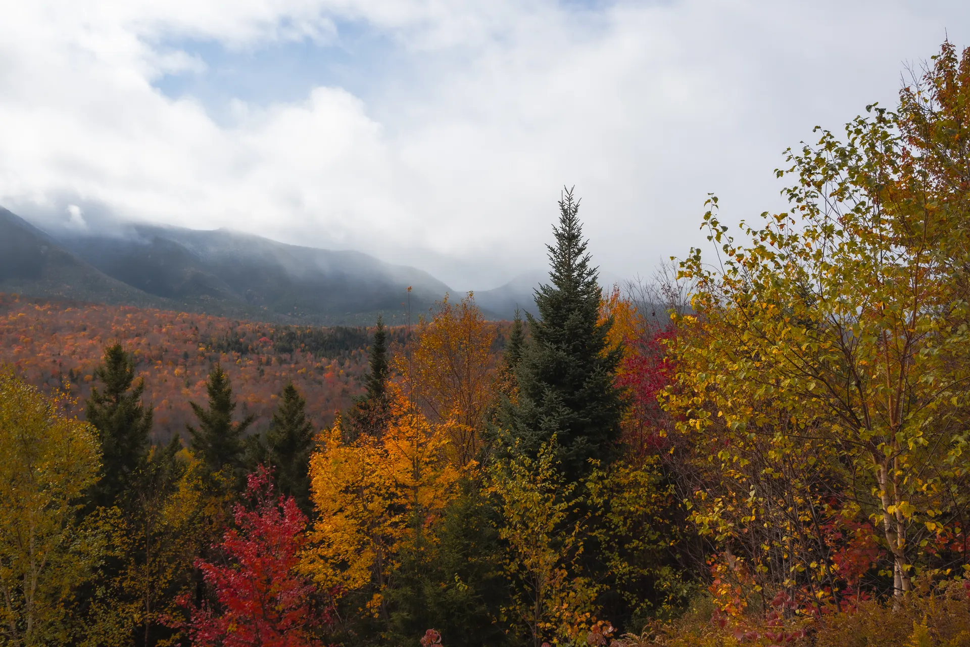
Mid-July through September is ideal. August is the sweet spot: fewer bugs, manageable river levels, and long days. June brings extreme mud and black flies. September brings the best foliage and cold nights. A full tent is the right call all season because of the bugs.
Plan the shuttle and a food drop with Shaw's
Shaw's Hostel runs shuttles between Monson and Abol Bridge (80 miles by road), book before you start by calling (207) 997-3597 or emailing shawshikerhostel@gmail.com. Shaw's and other Monson outfitters also offer mid-route food drops, delivering a resupply box to a pre-arranged spot around Day 3 or 4 so you do not carry 10+ days of food at once.
Baxter permits to continue to Katahdin
No permit is required for the 100-Mile Wilderness itself. Baxter State Park camping and Katahdin summit permits are required if you continue, and you should get these at baxterstatepark.org well in advance. Baxter is governed separately from the Maine State Park System; the Reservation Office is 207-723-5140.
Everything you'll actually want to know.
Ready to go? Get your
100-Mile Wilderness route.
Day-by-day mileages and lean-tos, the river fords, the Gulf Hagas side trip, food-drop and shuttle logistics with Shaw's in Monson, water-filtering and bug timing, and the Baxter permits you need to continue to Katahdin.
Instant book · Free cancellation · Secure payment via Stripe

Planning this trip?
Save it, share it with your crew, or find travelers heading the same way.

Liked this itinerary?
What other travelers are saying
Be the first to leave a tip or question for the next traveler.