South Dakota Wilderness: A 10-Day Road Trip Itinerary
One state, badlands, caves, spires & bison, all in a single loop.
A 10-day South Dakota road trip itinerary that loops the badlands, caves, granite spires, and free-roaming bison: Badlands National Park, Wind Cave, Custer State Park, Black Elk Peak, Mount Rushmore, and Spearfish Canyon.
“I’ve requested to book a Chain Lakes Loop guide on ExplorOFF, and it was the best idea ever! I highly recommend going with their guided option since you get a real human connection on the trail and don’t have to worry about a thing. Yulia was great to talk to!”




 30 stops on a real mapEvery stop pinned in order→
South Dakota: every stop pinned in order.
Badlands, the Black Hills, Custer & Spearfish · South Dakota
Every stop on this trip, in order, opens as one driving route in the Google Maps app. No copying addresses across one at a time.
South Dakota in photos: 5 of the stops.

Plan and book your 10 days in South Dakota, one step at a time
How 10 days in South Dakota split up
Plan 10 days for South Dakota. Total distance: ~600 mi. Difficulty: Moderate. Parks pass: $30 / car. This South Dakota road trip itinerary threads together the two great landscapes of the state: the eroded, banded badlands rising out of the prairie, and the dark granite heart of the Black Hills. Over 10 days you loop from Badlands National Park west into the hills, hitting caves, granite spires, free-roaming bison herds, and the two most famous carvings in America before circling back out across the Great Plains.
Day 1: Fly into Rapid City & out to the Badlands
3 stops · Day one
Day 2: Badlands trails: the Notch, Door, Window & Castle
3 stops · Day two
Day 3: Across the prairie to Wind Cave
3 stops · Day three
Day 4: Custer State Park: the Wildlife Loop & bison
4 stops · Day four
Day 5: The Needles Highway & Sylvan Lake
3 stops · Day five
Day 6: Summit Black Elk Peak & Cathedral Spires
3 stops · Day six
Day 7: Jewel Cave & a slower day
3 stops · Day seven
Day 8: Mount Rushmore & Crazy Horse
3 stops · Day eight
Day 9: Spearfish Canyon waterfalls
3 stops · Day nine
Day 10: Bear Butte & fly home from Rapid City
2 stops · Day ten
Fly into Rapid City & out to the Badlands
Fly into Rapid City (RAP), pick up a car, and stock up on water and supplies before heading east about an hour to Badlands National Park. Many travelers stop at the unavoidable roadside icon, Wall Drug, in the town of Wall just north of the park, then enter the Badlands to watch the buttes catch the last of the light.
Not the order you want? Drag a stop, or use the arrows beside it. Stops move between days too.
 Drive from
~1 hr · stock up first · DriveFly into Rapid City (RAP), pick up a car, and stock up on water and supplies before heading east about an hour to Badlands National Park. Many travelers stop at Wall Drug in the town of Wall just north of the park on the way in.
- Badlands Loop Road overlooks
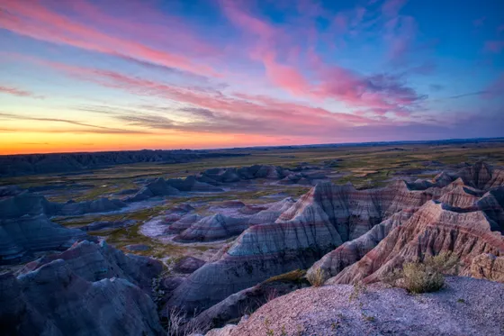
Pinnacles, Yellow Mounds · sunset · ViewpointSpend your first evening on the Badlands Loop Road, the scenic drive that strings together the park's best overlooks. Pull off at Pinnacles, Yellow Mounds, and Big Badlands Overlook as the layered rock glows pink and gold at sunset, and watch for bighorn sheep on the rock and bison on the prairie below.
 Tony Webster / CC BY 2.0Stay in Wall
Badlands gateway town · lodgeWall sits right at the Badlands gate and makes an easy first base, home to the famous Wall Drug. If you would rather have more rooms and restaurants, Rapid City is about an hour west.
Badlands trails: the Notch, Door, Window & Castle
Today is your hiking day in the Badlands. The park's short marked trails cluster near the northeast entrance, so you can string several together. Walk the Door Trail through a break in the Badlands Wall, the easy boardwalk Window Trail to a natural viewpoint, and the more adventurous Notch Trail, which climbs a log ladder and follows a ledge to a dramatic notch overlooking the White River Valley.
Not the order you want? Drag a stop, or use the arrows beside it. Stops move between days too.
- Notch, Door & Window Trails
Short trails · ladder & ledge · HikeThe park's short marked trails cluster near the northeast entrance. Walk the Door Trail through a break in the Badlands Wall, the easy boardwalk Window Trail to a natural viewpoint, and the more adventurous Notch Trail, which climbs a log ladder and follows a ledge to a notch over the White River Valley.
- Castle Trail
~10 mi RT · walk part or all · HikeFor a longer leg-stretcher, the Castle Trail runs about 10 miles round trip across open prairie and badlands formations, and you can walk just a piece of it. Carry plenty of water, watch for rattlesnakes, and start early or go late to dodge the midday heat.
 CGP Grey / CC BY 2.0Second night in Wall
Stay near the Badlands · lodgeStay a second night near the Badlands so you can hike the trails in the cooler morning and catch another round of Loop Road light. Tomorrow you head west into the Black Hills.
Across the prairie to Wind Cave
Drive west off the prairie and into the southern Black Hills to Wind Cave National Park, one of the longest and most complex caves in the world. Wind Cave is famous for its boxwork, a delicate honeycomb of thin calcite fins that is rarer here than almost anywhere on Earth. Tours run from the visitor center and range from easy walks to longer, more strenuous routes, so pick the one that fits your group.
Not the order you want? Drag a stop, or use the arrows beside it. Stops move between days too.
- Wind Cave boxwork tour
Ranger-led · famous boxwork · activityWind Cave National Park is one of the longest and most complex caves in the world, famous for its boxwork, a delicate honeycomb of calcite fins rarer here than almost anywhere on Earth. Ranger-led tours run from the visitor center, from easy walks to longer routes, so pick the one that fits your group.
Official info →  Wind Cave prairie & wildlife
Bison, pronghorn & prairie dogs · ViewpointAbove ground, Wind Cave protects a sweep of mixed-grass prairie roamed by bison, pronghorn, elk, and a noisy prairie dog town. Drive the park roads slowly and walk a short prairie trail to see the surface world above all those passages.
 Stay in Custer
Central to the Black Hills · lodgeShift your base to the town of Custer, central to the rest of the Black Hills loop. From here you are minutes from Custer State Park, the Needles Highway, Sylvan Lake, Black Elk Peak, and Jewel Cave.
Custer State Park: the Wildlife Loop & bison
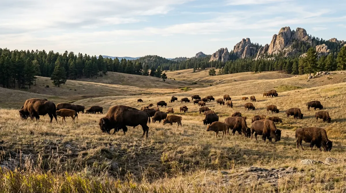
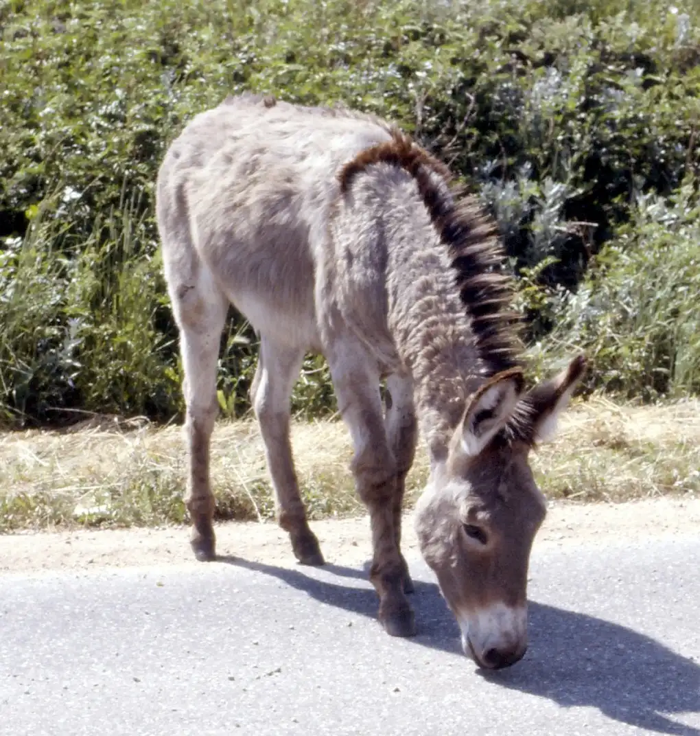
Spend the day in Custer State Park, the crown jewel of the Black Hills, starting with the Wildlife Loop Road, an 18-mile drive through open hills where one of the largest publicly owned bison herds in the world roams free. Go early, drive slowly, and give the animals room: the herd often crosses or stands in the road, and you will likely also see pronghorn, deer, and the park's famous "begging burros."
Not the order you want? Drag a stop, or use the arrows beside it. Stops move between days too.
 Sunrise hot air balloon over the Black Hills
Optional · about 1 hr aloft · 4.96 from 535 reviews · activityBlack Hills Balloons meets in Custer, a minute from where you are sleeping, and flies at dawn over the granite ridges and meadows around Custer State Park, where bison, elk and pronghorn graze below. You are back in time for the Wildlife Loop. Flights are weather dependent and the pilot confirms the evening before, so book this, the first morning of the Custer stay, and keep day 5 or 6 as the backup.
Book this →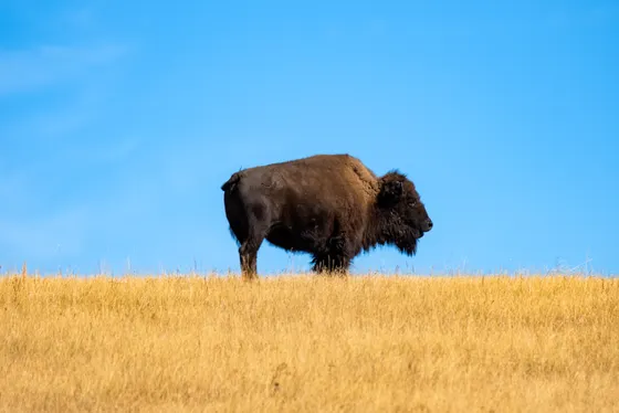 Wildlife Loop Road
18 mi · free-roaming bison · ViewpointDrive the Wildlife Loop Road, an 18-mile route through open hills where one of the largest publicly owned bison herds in the world roams free. Go early, drive slowly, and give the animals room; you will likely also see pronghorn, deer, and the park's famous begging burros.
 inkknife_2000 (7.5 mil / CC BY-SA 2.0Custer State Park entrance
Separate state-park fee · ViewpointCuster State Park is a state park rather than a national one, so it charges its own vehicle entrance fee, separate from the national park pass. A weekly pass is worth it since you will be back over the next few days for the Needles Highway, Sylvan Lake, and Black Elk Peak.
 Jerry Huddleston from / CC BY 2.0Second night in Custer
Town or in-park lodge · lodgeStay in the town of Custer, or in a State Game Lodge or Sylvan Lake Lodge room inside the state park if you booked months ahead. Keeping the same base means no packing up between back-to-back Black Hills days.
The Needles Highway & Sylvan Lake
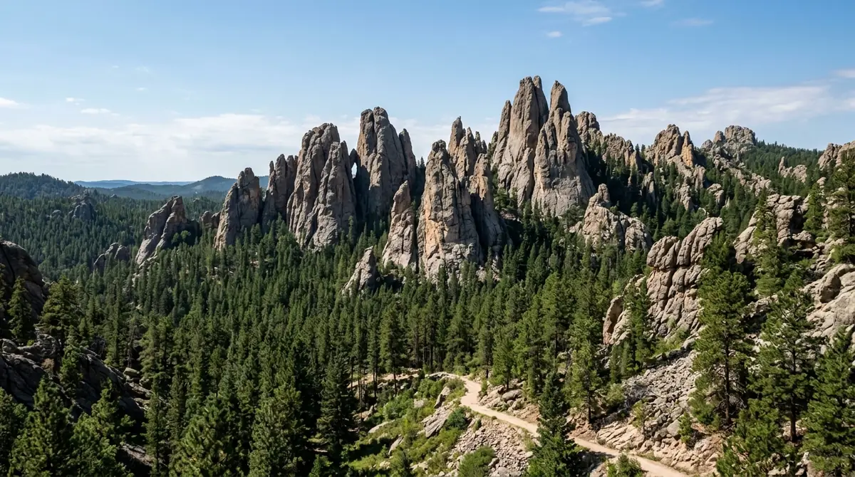
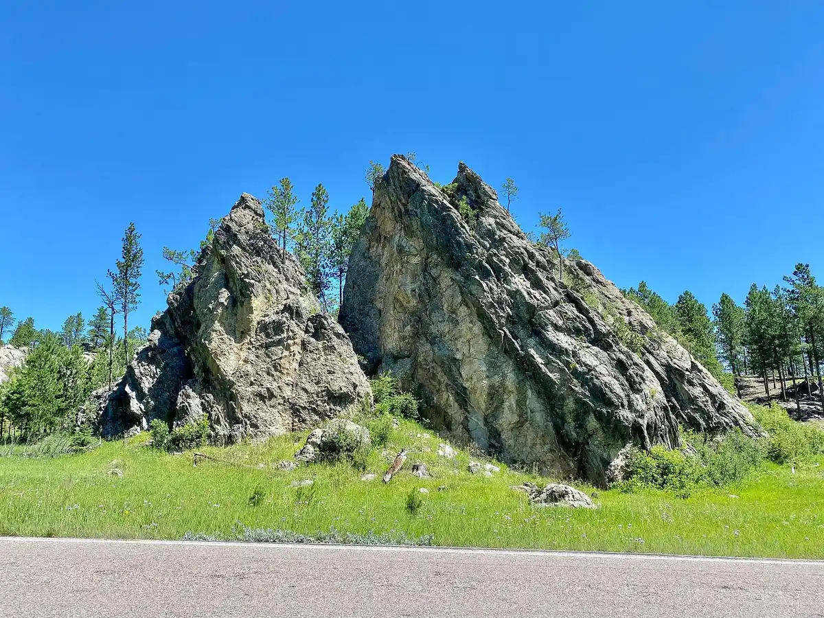
Drive the Needles Highway, one of the most spectacular roads in the country, winding 14 miles through a forest of granite spires, or "needles," with narrow one-lane tunnels blasted right through the rock. The road is slow and twisting by design, so take your time, pull off at the Needles Eye, and walk among the pinnacles climbers love.
Not the order you want? Drag a stop, or use the arrows beside it. Stops move between days too.
 w_lemay / CC BY-SA 2.0Needles Highway
14 mi · spires & rock tunnels · DriveDrive the Needles Highway, 14 miles through a forest of granite spires with narrow one-lane tunnels blasted through the rock. The road is slow and twisting by design, so take your time, pull off at the Needles Eye, and walk among the pinnacles climbers love.
 Sylvan Lake shoreline loop
~1 mi · summit trailhead · ViewpointThe highway runs past Sylvan Lake, the jewel of Custer State Park, a small lake ringed by granite walls with an easy mile-long shoreline loop. It is also the lower trailhead for Black Elk Peak, so spend the afternoon walking the shore and scouting tomorrow's summit hike.
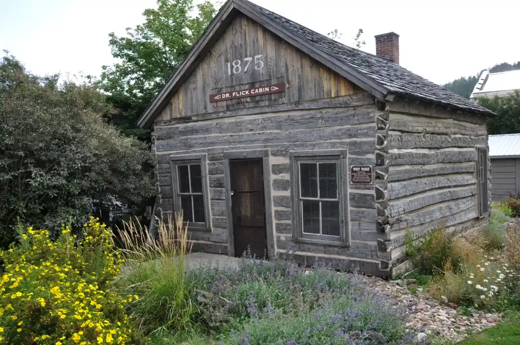 Magicpiano / CC BY-SA 4.0Third night in Custer
Stay central for the summit · lodgeStay central in Custer so you can be at the Sylvan Lake trailhead at dawn for tomorrow's Black Elk Peak climb, before the lot fills and the heat builds.
Summit Black Elk Peak & Cathedral Spires
Today is the big hike: Black Elk Peak, at 7,244 feet the highest point in South Dakota and the highest point in the United States east of the Rockies. The most popular route climbs about 7 miles round trip from Sylvan Lake to the old stone fire lookout on the summit, with a panorama across the Black Hills and out over the plains. Start early, carry water and layers, and watch the afternoon sky for thunderstorms.
Not the order you want? Drag a stop, or use the arrows beside it. Stops move between days too.
- Black Elk Peak from Sylvan Lake
~7 mi RT · stone lookout · HikeClimb Black Elk Peak, at 7,244 feet the highest point in South Dakota and the highest point east of the Rockies. The popular route runs about 7 miles round trip from Sylvan Lake to the old stone fire lookout on the summit. Start early, carry water and layers, and watch the afternoon sky for thunderstorms.
- Cathedral Spires Trail
Short, steep · granite fins · HikeIf you have legs left, the nearby Cathedral Spires Trail is a shorter, steeper out-and-back into a cluster of soaring granite fins, some of the most dramatic rock in the hills. Pair it with a celebratory dinner back in Custer.
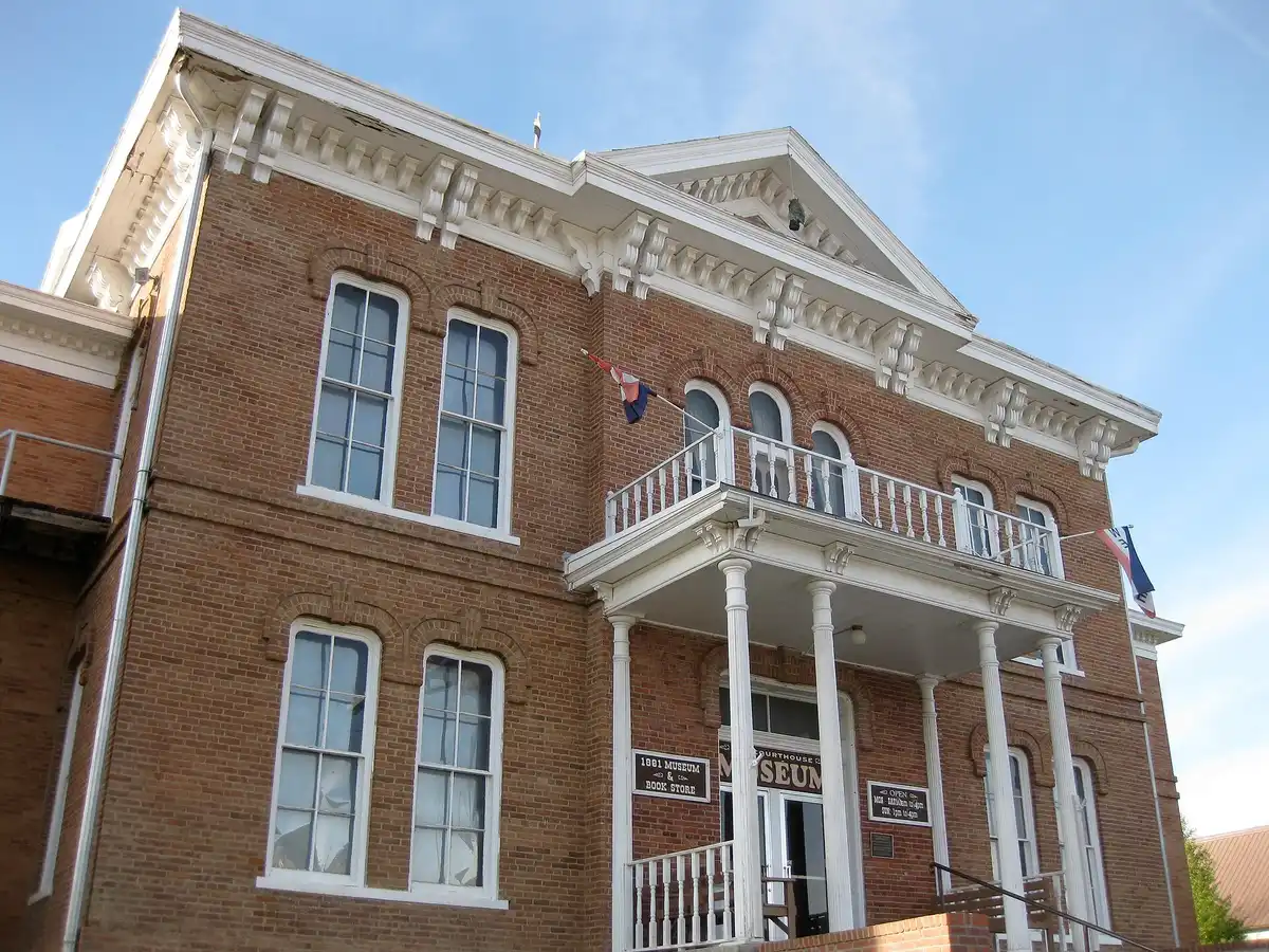 puroticorico / CC BY 2.0Fourth night in Custer
Rest your legs in town · lodgeStay a third night in Custer to rest your legs and celebrate the summit in town. Tomorrow is an easier cave day at Jewel Cave just to the west.
Jewel Cave & a slower day
Head west of Custer to Jewel Cave National Monument, the third-longest cave in the world, with more than 200 mapped miles of passage glittering with calcite crystals that give the cave its name. Tours range from the scenic loop to longer, more demanding routes, and a few involve real stooping and squeezing, so choose one that matches your group and book ahead in summer.
Not the order you want? Drag a stop, or use the arrows beside it. Stops move between days too.
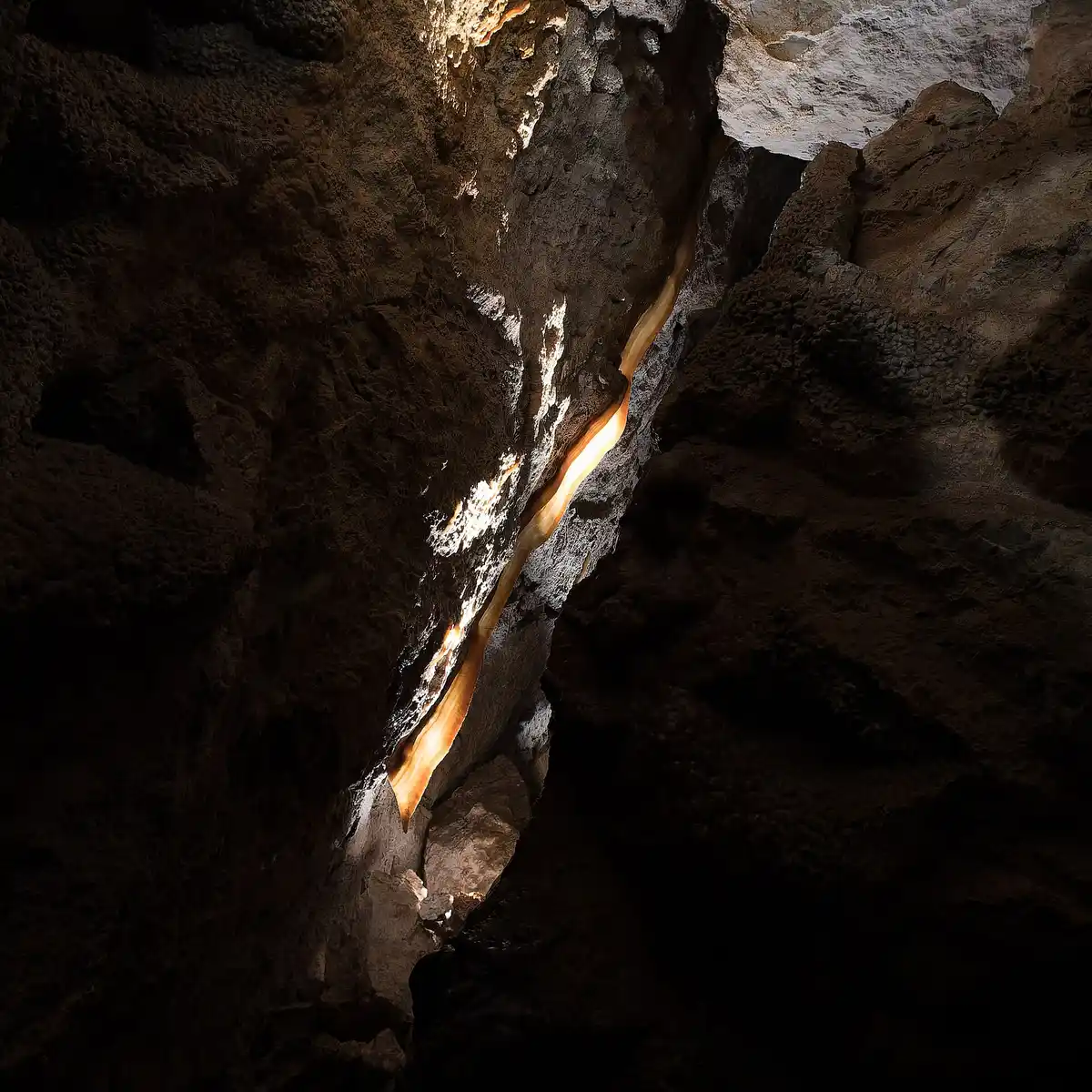 Clyde Charles Brown / CC BY-SA 4.0Jewel Cave tour
Third-longest cave · book ahead · activityJewel Cave National Monument is the third-longest cave in the world, with more than 200 mapped miles of passage glittering with calcite crystals. Tours range from the scenic loop to demanding routes with stooping and squeezing, so choose one that matches your group and book ahead in summer.
Official info →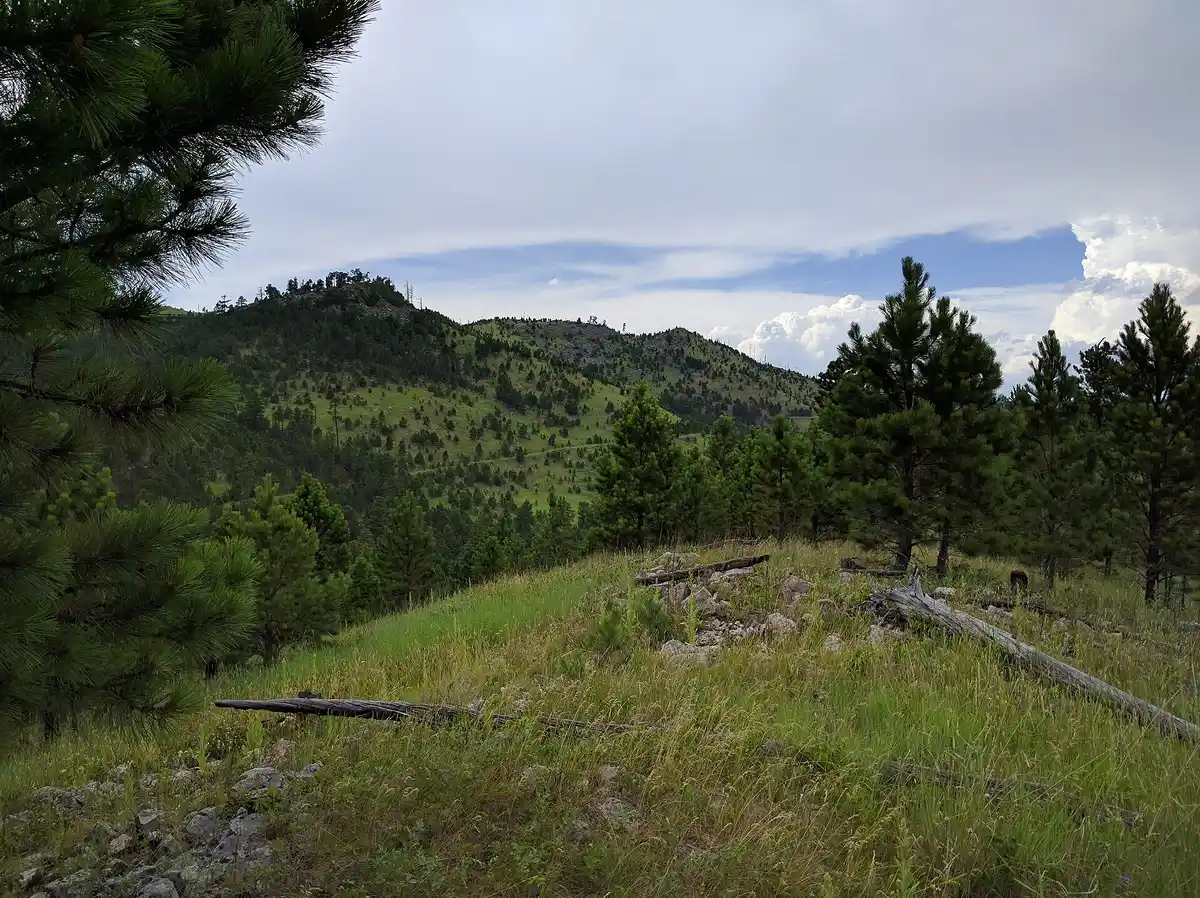 Runner1928 / CC BY-SA 4.0Explore the town of Custer
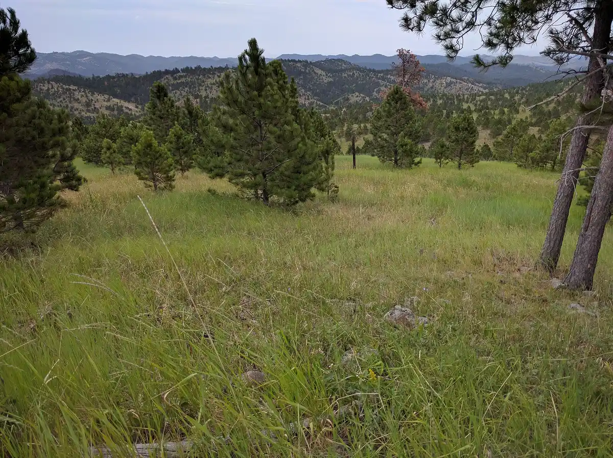
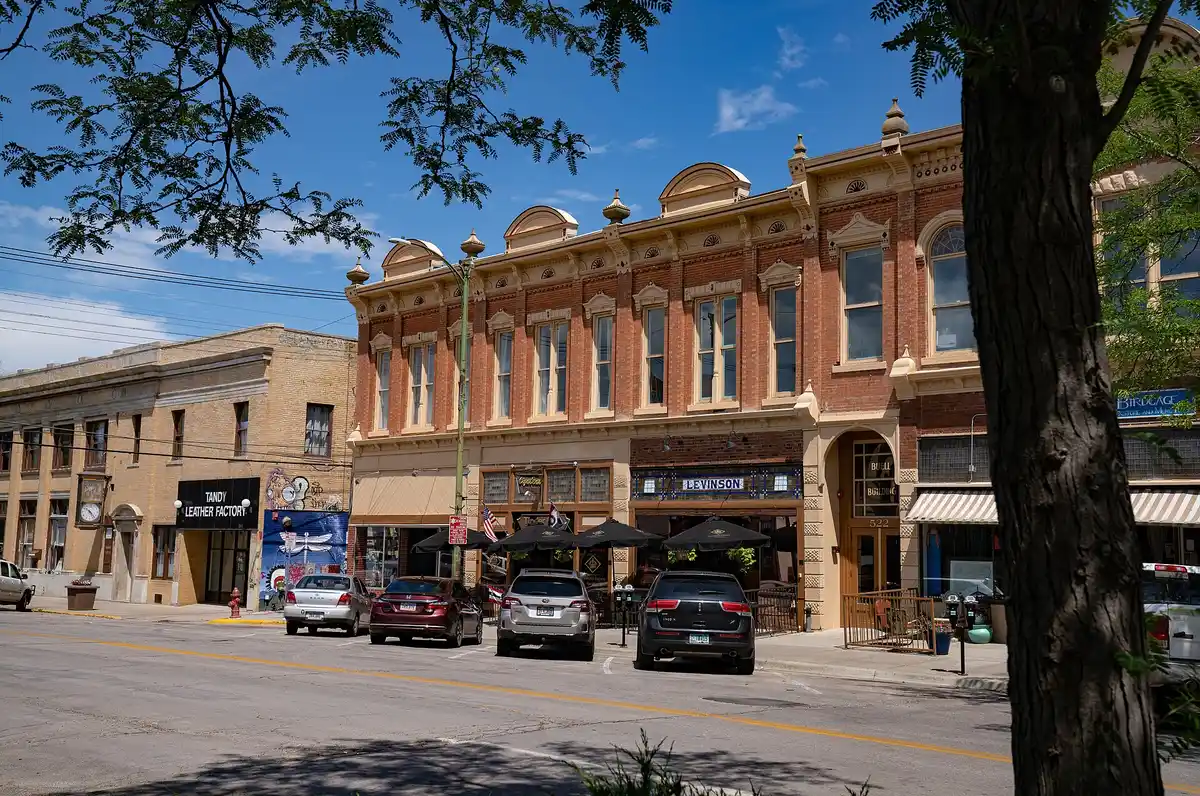
Slower afternoon · ViewpointAfter a morning underground, take the rest of the day at an easier pace: wander the town of Custer, drive a quieter stretch of the Black Hills, or revisit a Custer State Park spot you loved.
 Runner1928 / CC BY-SA 4.0Fifth night in Custer
North to the monuments tomorrow · lodgeSpend a last night in Custer. Tomorrow you swing up to Mount Rushmore and Crazy Horse, then shift your base north toward Spearfish Canyon and Bear Butte.
Mount Rushmore & Crazy Horse
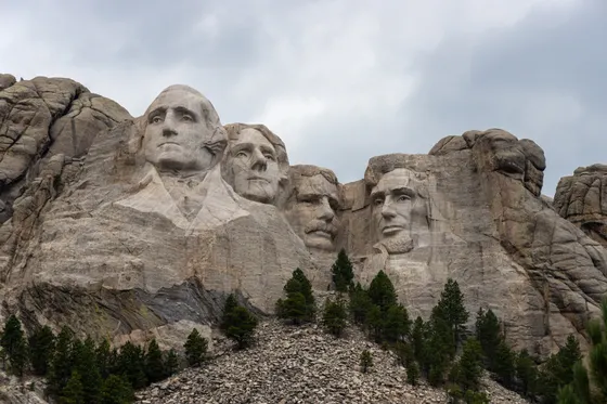
Visit the two great carvings of the Black Hills. Mount Rushmore National Memorial shows the 60-foot faces of four presidents blasted into a granite cliff; walk the Presidential Trail loop for closer views beneath the carving, and consider staying for the evening lighting ceremony in summer. There is no entrance fee, but the memorial charges for parking.
Not the order you want? Drag a stop, or use the arrows beside it. Stops move between days too.
- Mount Rushmore National Memorial
Four 60-ft faces · paid parking · ViewpointMount Rushmore National Memorial shows the 60-foot faces of four presidents blasted into a granite cliff. Walk the Presidential Trail loop for closer views beneath the carving, and consider staying for the summer evening lighting ceremony. There is no entrance fee, but the memorial charges for parking.
 Sioux 7 / CC BY-SA 4.0Crazy Horse Memorial
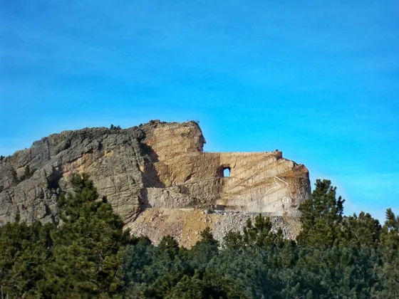
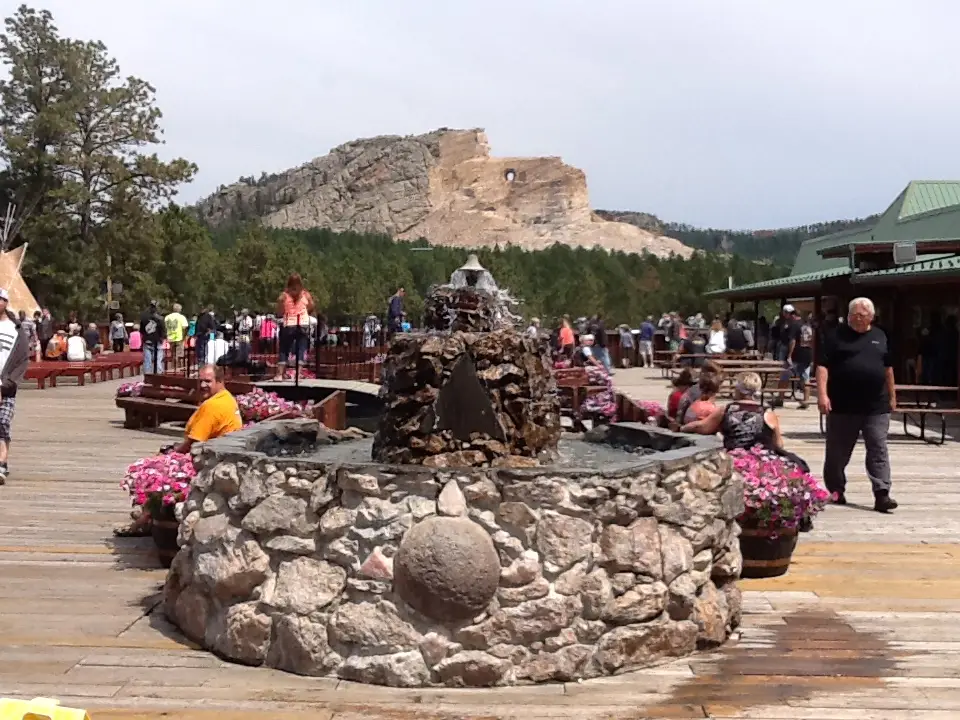
Huge in-progress carving · ViewpointA short drive away, the Crazy Horse Memorial is an enormous mountain carving still in progress, honoring the Lakota leader and Native peoples, with a sculptor's studio, museum, and cultural center at its base. Seeing it beside Rushmore, one finished, one far larger and unfinished, makes for a thought-provoking day.
 Tony Webster / CC BY-SA 2.0Stay in Rapid City
Sets up Spearfish & Bear Butte · lodgeMove your base to Rapid City, central for the north end of the loop. From here Spearfish Canyon and Bear Butte are both easy day reaches, and you are close to the airport for your flight home.
Spearfish Canyon waterfalls
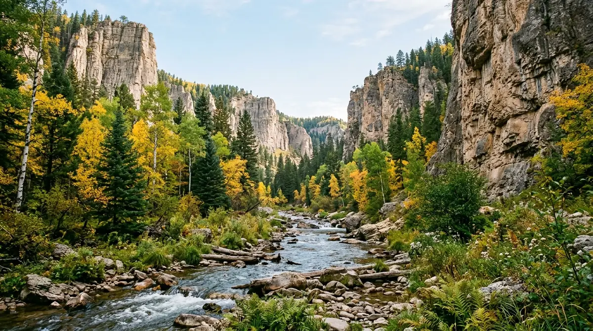
Drive north through the hills to Spearfish Canyon, a deep limestone gorge cut by Spearfish Creek and lined with sheer walls, pine, and aspen. The Spearfish Canyon Scenic Byway runs the length of it, with short walks to Bridal Veil Falls, Roughlock Falls, and Spearfish Falls that make for an easy, beautiful day of waterfall-hopping.
Not the order you want? Drag a stop, or use the arrows beside it. Stops move between days too.
 Roughlock & Spearfish Falls
Short waterfall walks · HikeSpearfish Canyon is a deep limestone gorge lined with sheer walls, pine, and aspen. Short walks lead to Bridal Veil Falls, Roughlock Falls, and Spearfish Falls, making for an easy, beautiful day of waterfall-hopping along the scenic byway.
- Spearfish Canyon Scenic Byway
Limestone gorge · fall color · DriveThe Spearfish Canyon Scenic Byway runs the length of the gorge. It is at its best in late September and early October, when the aspens turn gold against the dark canyon walls, but even in summer it is a cool, green contrast to the prairie. Take it slowly and use the pullouts.
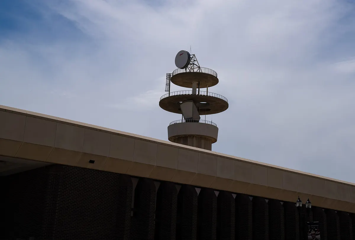 Tony Webster / CC BY 2.0Second night in Rapid City
Central base · near the airport · lodgeReturn to Rapid City for the night, central and close to the airport. Tomorrow you climb Bear Butte on the way to closing the loop and flying home.
Bear Butte & fly home from Rapid City
On your last morning, drive out to Bear Butte, a striking laccolith rising alone from the plains near Sturgis. It is a sacred site to the Lakota, Cheyenne, and other Northern Plains peoples, and you will likely see colorful prayer cloths and tobacco ties tied along the trail. A roughly 3.5-mile round trip climbs to the summit for a sweeping view across the prairie and back toward the Black Hills, a fitting final climb that ties the badlands, hills, and plains together.
Not the order you want? Drag a stop, or use the arrows beside it. Stops move between days too.
- Bear Butte summit trail
~3.5 mi RT · sacred site · HikeBear Butte is a striking laccolith rising alone from the plains near Sturgis, a sacred site to the Lakota, Cheyenne, and other Northern Plains peoples. A roughly 3.5-mile round trip climbs to the summit for a sweeping view across the prairie and back toward the Black Hills. Stay on the trail, do not touch the prayer cloths, and give space to any ceremony in progress.
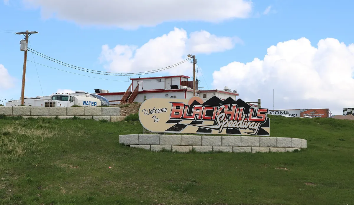 Jeffrey Beall / CC BY 4.0Drive back to Rapid City (RAP)
~1 hr · close the loop · DriveFrom Bear Butte it is about an hour back to Rapid City (RAP) for your flight, closing the loop where it began. Leave enough buffer for the return car and security, and point south to finish the trip.
Book the 9 nights
Beds near the trailheads are the one thing on this trip that genuinely runs out. Everything else can be decided later.
Tell us your dates and we will do the checking. We find what is still open near each trailhead and email you this plan back with a booking link for each night. Nothing is charged and you decide at the end.
Request to bookWhat to pack for South Dakota
Built from this route, not a generic list. Every line says why it is here.
On every day of this trip
On your feet
Because you are sleeping indoors
For the driving days
What we actually learned on the loop.
Know your different passes
Badlands and Wind Cave are national parks, so an America the Beautiful pass ($80) or the Badlands $30 vehicle fee covers them. Custer State Park is a state park with its own separate vehicle fee, and Jewel Cave, Wind Cave, and Mount Rushmore charge separately for tours or parking. Budget for several different fees, not one.
Avoid Sturgis rally week
The Sturgis Motorcycle Rally in early August fills lodging across the entire region and pushes prices up sharply for hundreds of miles around. If your dates land near it, book far ahead or shift your trip a week or two. Otherwise lodging is easiest to find in Rapid City, Custer, and Wall.
Go late spring through fall
Roads, cave tours, and lodging run from roughly May through October. September brings the Custer State Park bison roundup and early fall color in Spearfish Canyon. Winters are cold with closures and snow on the high roads, so the Needles Highway and high trails are off the table.
Reserve cave tours ahead
Wind Cave and Jewel Cave run ranger-led, ticketed tours that sell out in summer. Book online or arrive early, and check the difficulty: some routes involve many stairs, stooping, or genuine crawling, so match the tour to your group.
Respect the wildlife and sacred sites
The bison in Custer State Park and Wind Cave are wild, fast, and dangerous; stay in your vehicle and never approach for a photo. Bear Butte is a sacred site to Northern Plains tribes, so stay on the trail and out of any ceremonies you encounter.
Carry water on the prairie
The Badlands and Bear Butte are exposed and shadeless, and summer afternoons get hot and stormy. Carry plenty of water, start hikes early, watch the sky for thunderstorms over Black Elk Peak, and keep an eye out for rattlesnakes in the grass and rocks.
South Dakota: questions before you go
South Dakota road trip itinerary: the questions people ask most.
The classic South Dakota road trip itinerary loops the Black Hills and Badlands: fly into Rapid City, see Badlands National Park (the Loop Road and the Notch, Door, Window, and Castle Trails), then head into the Black Hills for Wind Cave and Jewel Cave, Custer State Park's Wildlife Loop and Needles Highway, Sylvan Lake, Black Elk Peak, Mount Rushmore and Crazy Horse, Spearfish Canyon, and Bear Butte. Ten days lets you do it at a relaxed pace, but you can compress it to a long weekend or a week.
You can hit the highlights in 4 to 5 days, but 7 to 10 days lets you slow down, do real hikes like Black Elk Peak, tour more than one cave, and linger on the Custer State Park drives. This 10-day version bases in the Badlands, then Custer, then Rapid City, and includes quieter spots like Wind Cave and Bear Butte that day-trippers skip.
Late spring through fall, roughly May through October, when the roads, cave tours, and lodging are all open. September is especially good, with the Custer State Park bison roundup and early fall color in Spearfish Canyon. Avoid the early-August Sturgis Motorcycle Rally week unless you want the rally, since it fills lodging and raises prices across the region. Winters are cold with road closures and snow.
Rapid City Regional Airport (RAP) is the natural base. It sits between the Badlands to the east and the Black Hills to the west, about an hour from each, so the whole loop in this itinerary starts and ends there. Rent a car at the airport; you will need your own vehicle to drive the scenic roads and reach the trailheads.
Yes. This is a road trip through and through. The Badlands Loop Road, the Wildlife Loop, the Needles Highway, and Spearfish Canyon are all scenic drives, and the trailheads and cave parks are spread across the region with no transit between them. Rent a car at Rapid City and plan your days around the driving distances.
Black Elk Peak, at 7,244 feet, is the highest point in South Dakota and the highest point in the United States east of the Rocky Mountains. The most popular route climbs about 7 miles round trip from Sylvan Lake in Custer State Park to an old stone fire lookout on the summit, with views across the Black Hills and out over the plains.
Very much so. Custer State Park is the crown jewel of the Black Hills, with the Wildlife Loop and one of the largest publicly owned free-roaming bison herds in the world, the spectacular Needles Highway and its rock tunnels, the granite-rimmed Sylvan Lake, and Cathedral Spires. It is a state park with its own separate vehicle fee from the national parks, and it deserves at least two full days on this loop.
Yes, and they are a highlight of the trip. Custer State Park has one of the largest publicly owned bison herds in the world, best seen by driving the Wildlife Loop early in the morning. Wind Cave National Park and Badlands National Park also have wild bison roaming the prairie. Always stay in your vehicle near the herds and never approach; bison are huge, fast, and dangerous.
Wild bison in Custer State Park frequently block roads and singletrack trails without warning. Keep a strict 25-yard buffer from every animal and never try to squeeze past a herd. On the road, stay in your vehicle and simply wait for them to move on. On foot, quietly back away and hike a wide detour around them rather than pushing through. Bison are enormous, fast, and unpredictable, and people are gored every year for crowding them for a photo.
Yes. Tell us your dates and we check what is still open for the plan on this page, then send it back with a booking link for each night and the total. Nothing is charged and nothing is held, and you pay the normal rate.
Pick how you want to go.
Same 10-day route. Same 17 stops.
- 2 nights, a campsite near Wall
- $48
- 5 nights, a campsite near Custer
- $120
- 2 nights, a campsite near Rapid City
- $48
- Sunrise hot air balloon over the Black Hills
- $750
- 2 nights, a room in Wall
- from $350
- 5 nights, a room in Custer
- from $750
- 2 nights, a room in Rapid City
- from $350
- Sunrise hot air balloon over the Black Hills
- $750
- A private local guide, rooms and campsites booked
- Included
- Airport pickup and every drive
- Included
- Park, permit and campsite fees paid
- Included
- All the gear and the trail meals
- Included
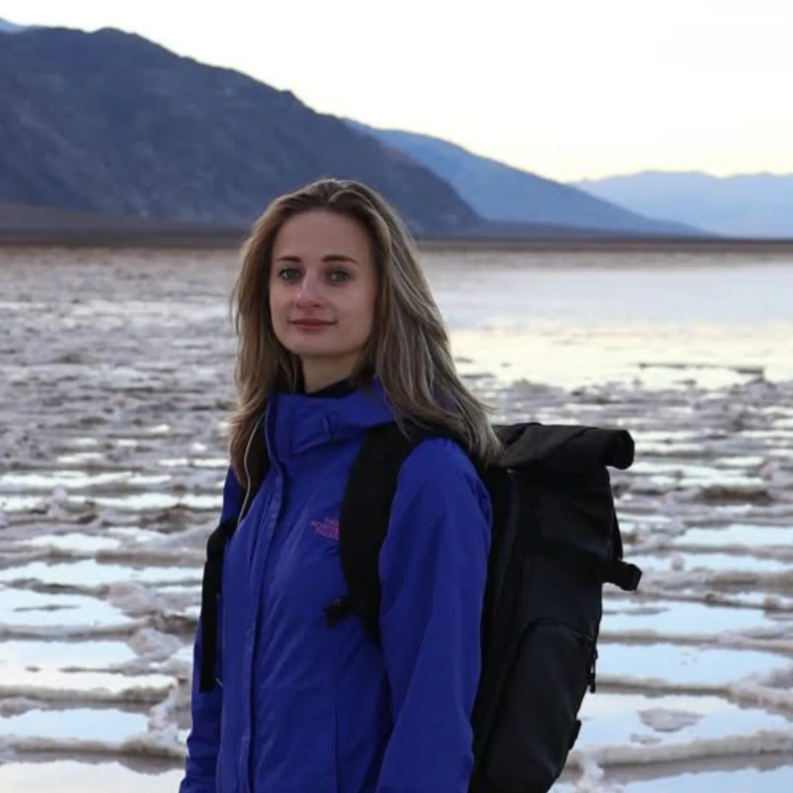
Written and walked by Yulia Vasilyeva · Co-founder · Lead planner and guide
Three years leading guided hikes in the Pacific Northwest, rated 5.0 by 20+ verified guests, and she builds every custom itinerary herself. Based in Seattle.
Last checked September 2026
You might also love these
Other itineraries near this one.
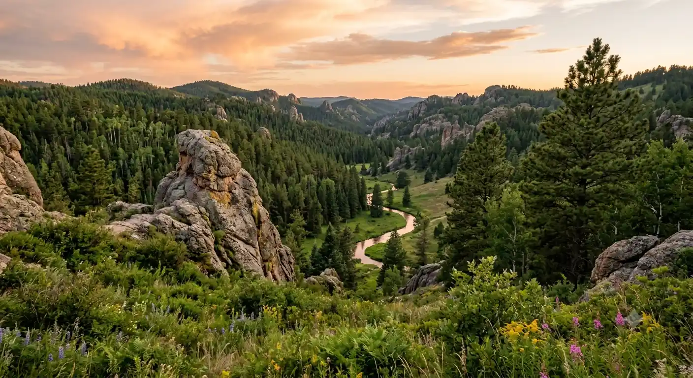
Centennial Trail South Dakota: 6-Day Backpacking Itinerary
The Centennial Trail South Dakota map plus a 6-day backpacking itinerary along Trail #89 through Custer State Park to Black Elk Peak,…
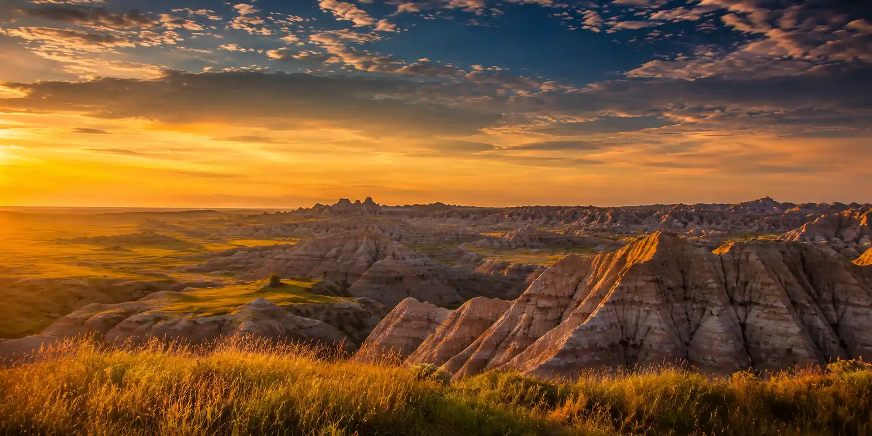
Badlands & Black Hills: 3-Day Road Trip Itinerary
A 3-day Badlands and Black Hills road trip itinerary from Rapid City: Badlands Loop Road, Custer State Park wildlife, Crazy Horse, Mount…
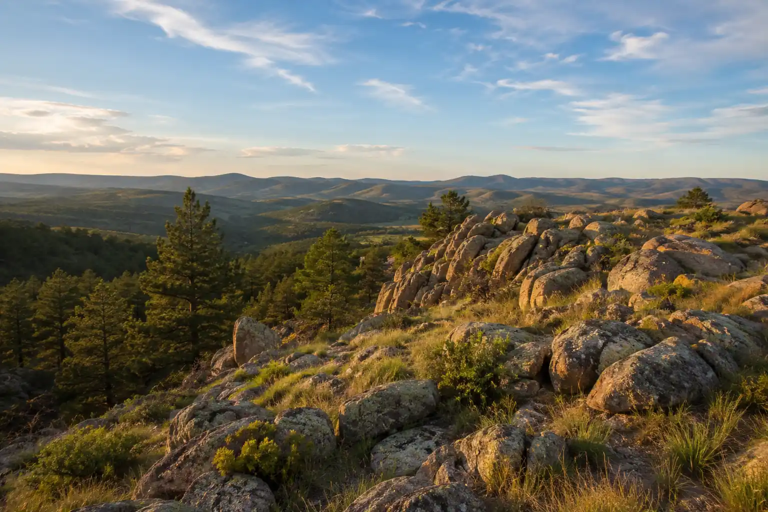
Pine Ridge Nebraska Backpacking: 3-Day Soldier Creek Wilderness Loop
A 3-day Pine Ridge backpacking itinerary through the Soldier Creek Wilderness near Fort Robinson: the ~11-mile Boots & Saddle and…
Guides for this tripCuster State Park Wildlife LoopSylvan Lake and the Needles HighwayWind Cave National ParkBest Time to Visit the Black Hills
What adventurers say about us.
All reviews are from verified guests. ★★★★★ 5.0 average from 20+ bookings.
"Felt like going out with a really knowledgeable friend who just happens to know everything about the area. No awkward tour-guide energy, just a magnificent day."
"Yulia is an incredible guide. She knew every trail, every viewpoint, and exactly how to pace the day for our group. The photos she took of us were stunning. 100% booking again."
"I was visiting Seattle solo and this was the best decision I made on the trip. Yulia picked me up, had snacks, and took us to a trail I never would have found on my own. Absolute must-do."
"We did this as a couple's trip and it was perfect. Yulia adapted everything to us, our pace, our interests, our photo obsession. The mountain views were unreal."
"Phenomenal experience. Yulia has deep local knowledge and a real passion for the outdoors. She went out of her way to show us the hidden gems tourists never see. Will remember this forever."
"I've done a few guided hikes and this was by far the best. Yulia is warm, funny, and genuinely expert. The trail she chose had the most insane wildflower bloom, we got so lucky."
Fees, reservation windows, shuttle dates and trail closures are planning estimates. Confirm hours, road status and any reservations with the land manager before you go.
What other travelers are saying
Be the first to leave a tip or question for the next traveler.
Was this helpful?
One tap. It goes straight to Yulia and Margarita.
You can't hike it if you can't get the permit.
The best hikes in America run on lotteries that open once a year and sell out in minutes. Every trail runs on its own calendar. Pick the ones you want and we do the watching.
 The WaveCoyote Buttes North · Arizona / UtahPermitLotterybrutal odds
 Half Dome CablesYosemite NP · CaliforniaPermitOpens Mar 1fair odds
 Mt. WhitneyInyo NF · CaliforniaPermitOpens Feb 1tough odds
 Angels LandingZion NP · UtahPermitLotterytough odds
 The SubwayZion NP · UtahPermitLotterytough odds
 Mount St. Helens Summit ClimbGifford Pinchot NF · WashingtonPermitReservationtough odds
How it works
- An email the morning each window opens, never the day after.
- A 14-day heads-up so you can line up your group and dates.
- Win odds and a ranked backup plan for every trail you pick.
Didn't win? We keep watching. We check recreation.gov every day for The Enchantments, Half Dome and Angels Landing, and email you the moment a sold-out date frees up. Cancellations are the second chance most people never hear about.