
Chiricahua National Monument:
A 2-Day Hiking Itinerary
Two days of Chiricahua National Monument hiking: the classic Echo Canyon Loop through Wall Street and the Grottoes, the big Heart of Rocks Loop with its named hoodoos, Massai Point, and the Sugarloaf fire lookout.
Free interactive planner · drag & reorder your days, add stops, map it in minutes
Build your own Chiricahua trip, drag, reorder & map it.
Drag stops between days, swap loops, and add your own overlooks and trailheads with the place search. The live map and drive times recalculate as you go, and we'll warn you before you build a day that is too long for this remote sky island.
Opens a side panel · reorder days, add custom stops, see your route live
A Wonderland of Rocks, a sky island in the desert.
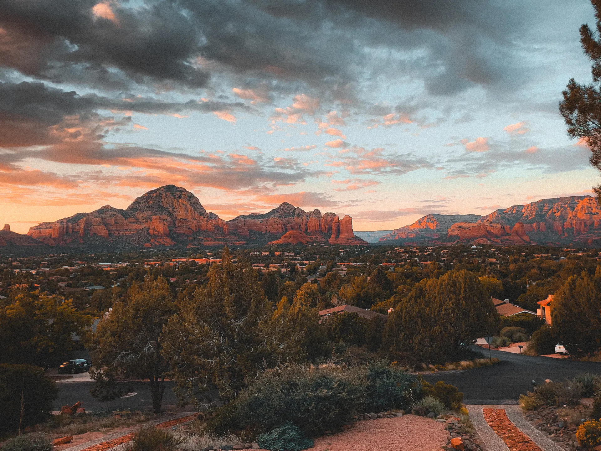
Chiricahua National Monument sits in the remote southeast corner of Arizona, a "Wonderland of Rocks" where thousands of balanced rocks and rhyolite hoodoo pinnacles rise in tight ranks across a sky island mountain range. The pinnacles are the eroded remains of a massive volcanic eruption, and walking among them feels like wandering through a stone forest that no photo quite prepares you for.
This 2-day route is built around Chiricahua National Monument hiking: the classic Echo Canyon Loop through the Grottoes and the narrow Wall Street passage, and the big Heart of Rocks Loop with its named formations like Big Balanced Rock, Punch and Judy, and Duck on a Rock. You'll drive the Bonita Canyon Scenic Drive up to Massai Point, climb Sugarloaf Mountain to a fire lookout, and visit the historic Faraway Ranch.
The monument is remote and uncrowded, and its sky island setting makes it a renowned birding hotspot and a pocket of unusual biodiversity. Elevations run from about 5,400 to 7,300 feet, so it can get snow in winter and afternoon thunderstorms during the summer monsoon. Spring and fall are the sweet spots. Best of all, entry is completely free.
Bonita Canyon Campground is the only lodging inside the monument, a small first-come and reservable campground that fills on prime spring and fall weekends, so reserve through recreation.gov early. Otherwise base in Willcox about 36 miles away. A free seasonal hikers shuttle runs up to Echo Canyon so you can hike one-way downhill; check current days and times with the visitor center before you count on it.


Bonita Canyon Scenic Drive & the Echo Canyon Loop
Chiricahua is genuinely out of the way: plan on about 2 hours from Tucson (TUS) and roughly 36 miles from Willcox, the nearest town with gas, food, and motels. Start by driving the Bonita Canyon Scenic Drive, an 8-mile road that climbs from the visitor center up to Massai Point at the rim, with overlooks across the whole stone forest of pinnacles on the way up.
Then hike the monument's signature trail, the Echo Canyon Loop (about 3.3 miles), the classic Chiricahua hike that drops through the Grottoes and threads the narrow Wall Street passage between towering rhyolite walls before looping back. If the free seasonal hikers shuttle is running, you can ride it up to the Echo Canyon trailhead and turn this into an easier one-way downhill walk.
- ~8 mi to Massai Point · overlooks over the pinnacles · the only paved road in
- ~3.3 mi · moderate · the Grottoes & Wall Street · the classic hike
- Rides up to Echo Canyon · lets you hike one-way downhill · check days/times
- Camp at Bonita Canyon or stay in WillcoxOnly in-park campground · or base ~36 mi away in Willcox
- Drive the Bonita Canyon Scenic Drive up to Massai Point first, then hike. The overlooks give you the lay of the land before you head down into the pinnacles.
- If the free hikers shuttle is running, take it up to the Echo Canyon trailhead so you can hike one-way downhill instead of climbing back out.
- There is no gas, food, or lodging inside the monument beyond the campground. Fuel up and stock up in Willcox, about 36 miles away, before you drive in.

Heart of Rocks Loop, Sugarloaf Mountain & Faraway Ranch
This is the big hiking day. Tackle the Heart of Rocks Loop, the monument's showpiece, usually done as a longer day of roughly 7 to 9 miles round trip from the Echo Canyon trailhead or Massai Point via Big Balanced Rock. The loop itself winds past the famous named formations, including Big Balanced Rock, Punch and Judy, and Duck on a Rock, the densest collection of balanced rocks anywhere in the park.
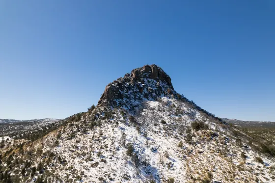
Cap the day with two shorter stops. Sugarloaf Mountain is a manageable hike (about 1.8 miles round trip) to a historic fire lookout at the highest point you can reach on foot, with a panorama over the entire range. On the way out, walk the grounds of Faraway Ranch, the historic homestead near the entrance. Getting home: it is about 36 miles back to Willcox and roughly 2 hours to Tucson (TUS), so fuel up in Willcox before the airport run.
- ~7 to 9 mi RT · strenuous · Big Balanced Rock, Punch and Judy, Duck on a Rock
- ~1.8 mi RT · moderate · fire lookout at the highest point
- Historic homestead near the entrance · easy stroll on the way out
- Getting home: Willcox & TucsonWillcox ~36 mi · Tucson (TUS) ~2 hr · fuel up before the drive out
- The Heart of Rocks Loop is best reached from the Echo Canyon trailhead or Massai Point, making for a 7 to 9 mile day depending on your route. Start early and carry plenty of water.
- In monsoon season (roughly July through September), afternoon thunderstorms build fast. Get the high, exposed loops done in the morning and be off the rim by early afternoon.
- Sugarloaf Mountain is the highest point you can hike to here and the lookout is a great short payoff. Faraway Ranch by the entrance is an easy historic stop on your way out.
Now build your Chiricahua trip.
You've seen both days. Open the free drag-and-drop planner and tune it for your dates, your pace, and whether you camp at Bonita Canyon or base in Willcox.
What we actually learned in the Wonderland of Rocks.
Entry is completely free
Chiricahua National Monument charges no entrance fee, which makes it one of the best free hiking destinations in the Southwest. You can drive in any time the road is open and start hiking without buying a pass or reservation.
Use the free seasonal hikers shuttle
A free hikers shuttle runs seasonally from near the visitor center up to the Echo Canyon trailhead, letting you hike the best loops one-way downhill instead of climbing back out. Check current days and departure times at the visitor center, since the schedule changes by season.
Fuel and stock up in Willcox
There is no gas, food, or store inside the monument. The nearest services are in Willcox, about 36 miles away off Interstate 10. Fill the tank, grab water and snacks, and bring everything you need before you make the drive in.
Carry water and watch the storms
Trails here have no water, and the high loops are long and exposed. Carry at least 2 to 3 liters per person. In the summer monsoon, afternoon thunderstorms build quickly, so do the high, exposed hikes in the morning and get off the rim early.
Go in spring or fall
Spring (March through May) and fall (October through November) bring the most comfortable hiking weather. Winter can bring snow at these elevations and may close the upper road, while summer afternoons are stormy, so plan around the shoulder seasons.
Camp inside or base in Willcox
Bonita Canyon Campground is the only lodging inside the monument, a small campground that fills on prime weekends, so reserve through recreation.gov early. Otherwise base in Willcox, which has motels, wineries, and easy Interstate 10 access about 36 miles away.
Everything you'll actually want to know.
Ready to go? Get your
Chiricahua hiking route.
Trailheads and mileages, the in-park campground, the seasonal hikers shuttle, gas and lodging in Willcox, drive times from Tucson, and the monsoon timing you need to hike Chiricahua safely.
Instant book · Free cancellation · Secure payment via Stripe


Planning this trip?
Save it, share it with your crew, or find travelers heading the same way.

Liked this itinerary?
What other travelers are saying
Be the first to leave a tip or question for the next traveler.