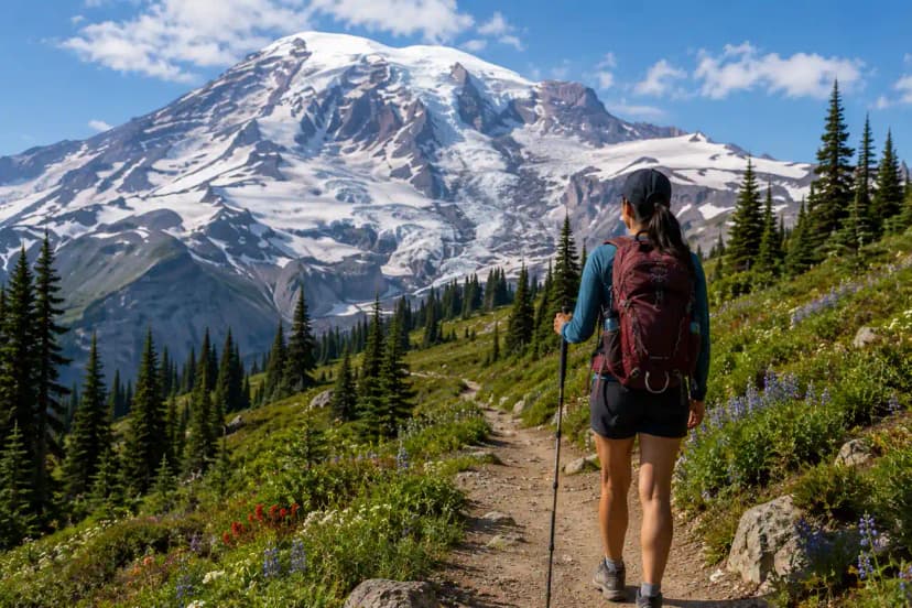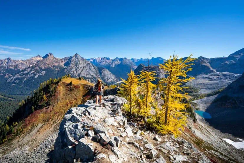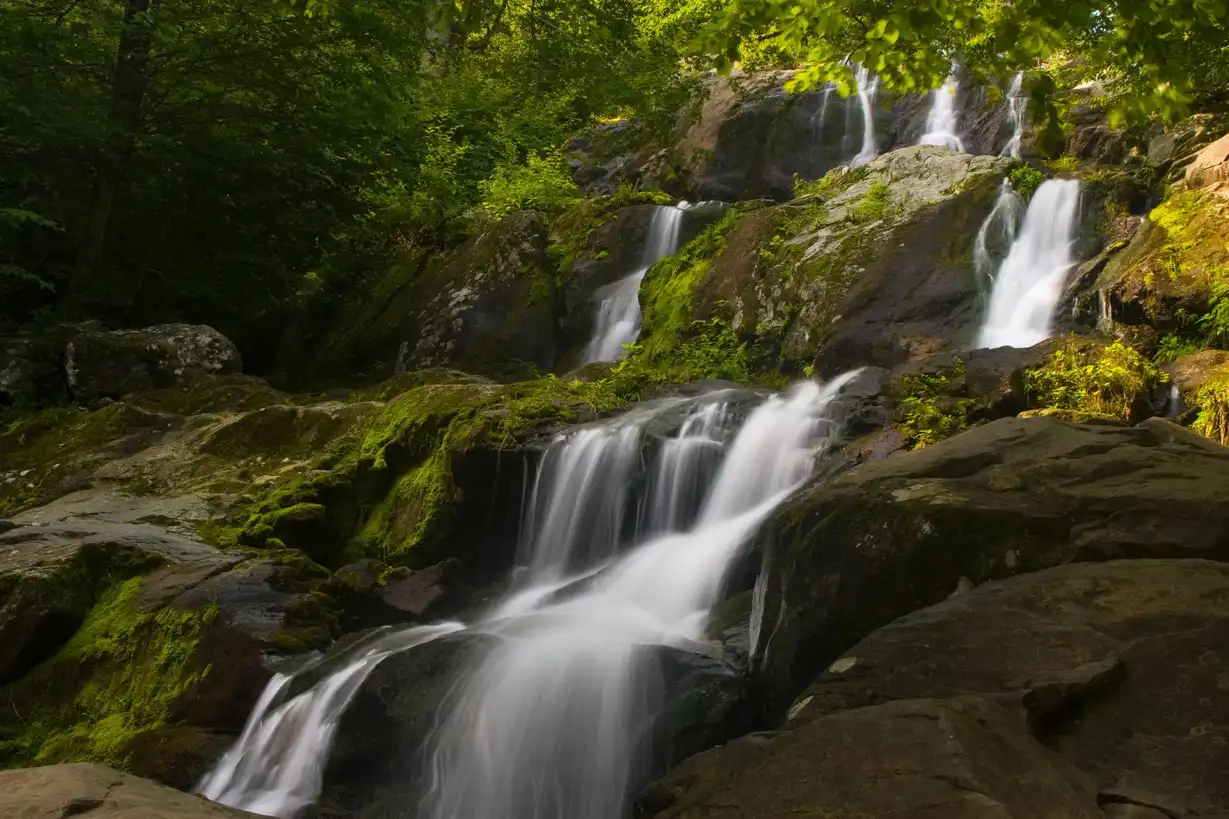
The Appalachian Trail (AT) stretches 2,193 miles from Springer Mountain, Georgia to Mt. Katahdin, Maine, passing through 14 states along the Eastern Seaboard. About 3 million people hike some portion of the AT each year, but only around 1 in 4 thru-hike attempts succeed. The good news: you don't need to thru-hike to experience the best of it. Some of the most spectacular sections are perfect 2–5 day trips for beginners.
Key Stats
- Total length: 2,193 miles
- States crossed: Georgia, North Carolina, Tennessee, Virginia, West Virginia, Maryland, Pennsylvania, New Jersey, New York, Connecticut, Massachusetts, Vermont, New Hampshire, Maine
- Thru-hike duration: 5–7 months
- Best thru-hike start: March–April (NOBO, northbound) from Springer Mountain, GA
- Permits: None required for day hiking. Shelters are first-come, first-served in most states. Baxter State Park (Mt. Katahdin) requires reservations.
Best Beginner Sections
These sections are accessible, scenic, and manageable for new AT hikers, no thru-hike required.
Max Patch, NC (Great Smoky Mountains area)
- Distance: 2.2 miles round trip to summit (or 4.4-mile loop)
- Elevation gain: 392 ft
- Difficulty: Easy
- Why it's special: A bald summit with 360-degree panoramic views. One of the most photographed spots on the entire AT. Magical at sunrise.
- Note: Parking is very limited, arrive before 8am on weekends or risk a long roadside walk.
Roan Highlands, NC/TN (Carvers Gap)
- Distance: 4–13 miles depending on your route
- Elevation gain: 800–2,000 ft
- Difficulty: Moderate
- Why it's special: The largest natural rhododendron garden in the world blooms in mid-June. The balds above 6,000 ft feel like Scotland. Round Bald and Jane Bald are the highlights.
- Best timing: Mid-June for rhododendrons, September for fall colors.
McAfee Knob, VA (Catawba)
- Distance: 8.8 miles round trip
- Elevation gain: 1,700 ft
- Difficulty: Moderate
- Why it's special: The most photographed spot on the AT. The rock ledge jutting over the Catawba Valley is iconic. Combine with Tinker Cliffs for a 13-mile loop.
- Note: Very popular on weekends. Weekday visits are far more peaceful.
Shenandoah National Park, VA (Skyline Drive sections)
- Distance: Flexible, dozens of overnight and day options
- Why it's special: The AT runs 101 miles through Shenandoah. Multiple road crossings allow you to section hike. Great for a first overnight AT trip, backcountry campsites are established and the trail is well-marked.
- Highlights: Old Rag Mountain (off-trail from AT, best rock scramble in the mid-Atlantic), Bearfence Mountain (rocky scramble, 360 views), Hawksbill Summit.
Presidential Range, NH (Crawford Notch to Pinkham Notch)
- Distance: 20 miles (3–4 days)
- Elevation gain: ~8,000 ft cumulative
- Difficulty: Strenuous
- Why it's special: The most dramatic stretch of the AT. Above treeline for miles. Summits include Mt. Washington (6,288 ft, highest peak in the Northeast), Mt. Jefferson, and Mt. Adams. AMC huts available for paid lodging.
- Warning: Above-treeline weather changes fast and violently. Mt. Washington has recorded 231 mph winds. Check the weather obsessively and always carry layers.
Section Hiking vs Thru-Hiking
- Section hiking: Hike the AT one segment at a time over years. More flexible, can work around life commitments. Many "2,000-Milers" complete it this way over decades.
- NOBO thru-hike: Start at Springer Mountain, GA in March–April, finish Katahdin in September. Follow the "bubble" of hikers north for trail community and social experience.
- SOBO thru-hike: Start at Katahdin in June, finish in Georgia by November. Harder logistics, quieter experience, better fall scenery.
- Flip-flop: Start in the middle (Harper's Ferry, WV) and hike outward. Avoids the Springer crowd and Katahdin's permit squeeze.
Gear for Your First AT Weekend
- Footwear: Trail runners beat heavy boots on the AT. The trail is well-maintained and dry feet matter more than ankle support for most sections.
- Rain gear: The AT is notoriously wet, especially in the Smokies and New England. A lightweight waterproof shell is non-negotiable.
- Shelter: The AT has over 260 three-sided shelters (lean-tos) spaced ~10 miles apart. A tent gives you flexibility when shelters are full on weekends.
- Navigation: The AT is blazed with white paint marks on trees. The Guthook/FarOut app is the standard digital guide, download offline maps before you go.
- Bear safety: Hang food or use a bear canister. The Smokies require canisters inside the national park.
Trail Culture
- Trail names: Thru-hikers traditionally take a trail name given by fellow hikers. It sticks for life.
- Trail towns: Towns like Damascus (VA), Hot Springs (NC), Harpers Ferry (WV), and Hanover (NH) are beloved resupply towns with strong hiker culture.
- AYCE restaurants: If you ever meet a thru-hiker at a town buffet, step aside. They've earned it.
Appalachian Trail for Beginners: Your First AT Section Hike FAQs
Yes. The worked day-by-day plan is Appalachian Trail in Shenandoah: 3-Day Itinerary + Best Day Hikes (3 Days), with the permits, the stays and the drive times already sorted. Tell us your dates and we will put it together for you and confirm what is genuinely open on those days. Asking is free: no card, no deposit, and nothing is held until you say yes.